 My grandmother used to own a home off Norwood Avenue and have volunteer grapevines charging up through her hillside backyard. Little did she know, my grandmother’s house was a part of the Pellier estate, one of the largest in early Evergreen.
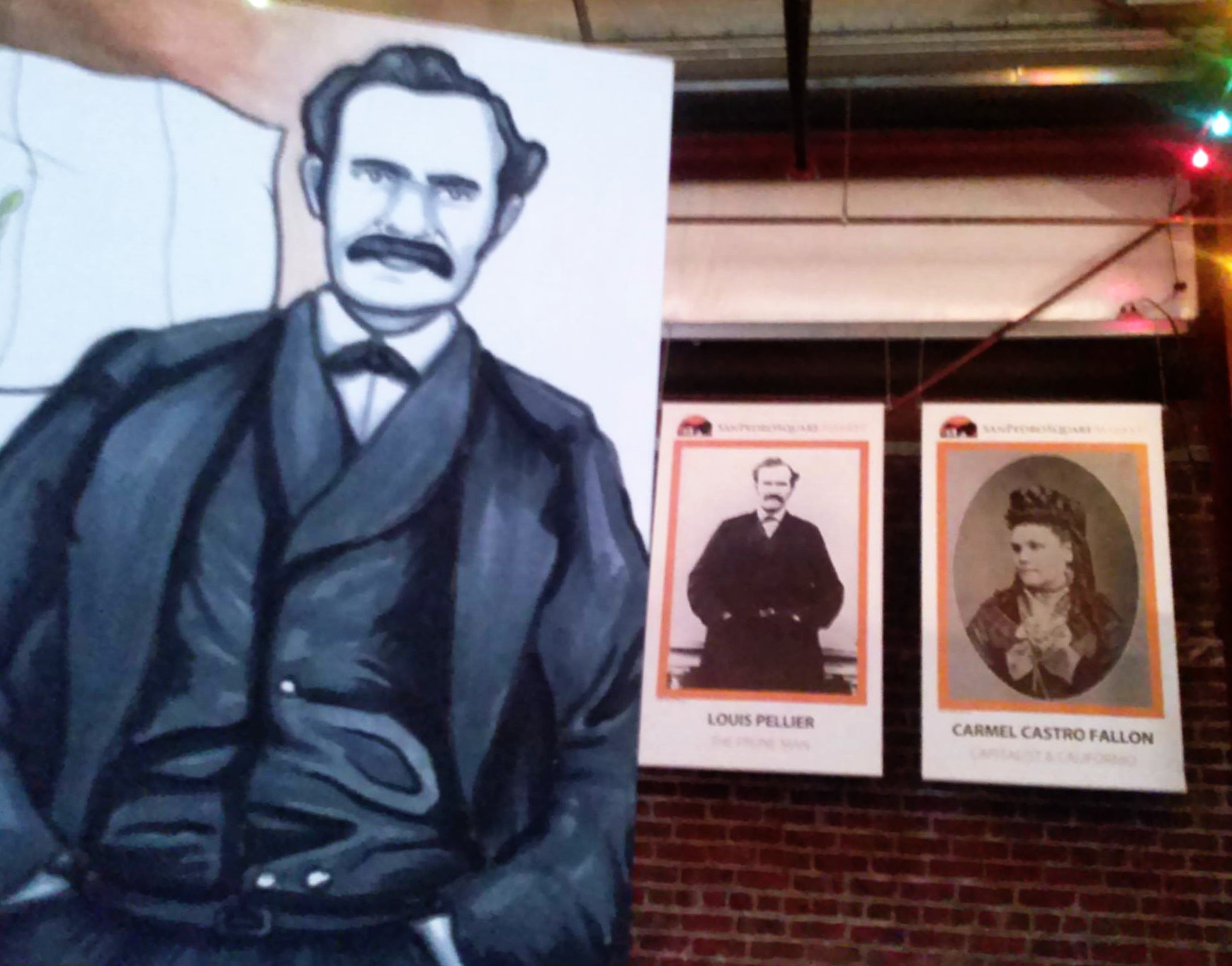
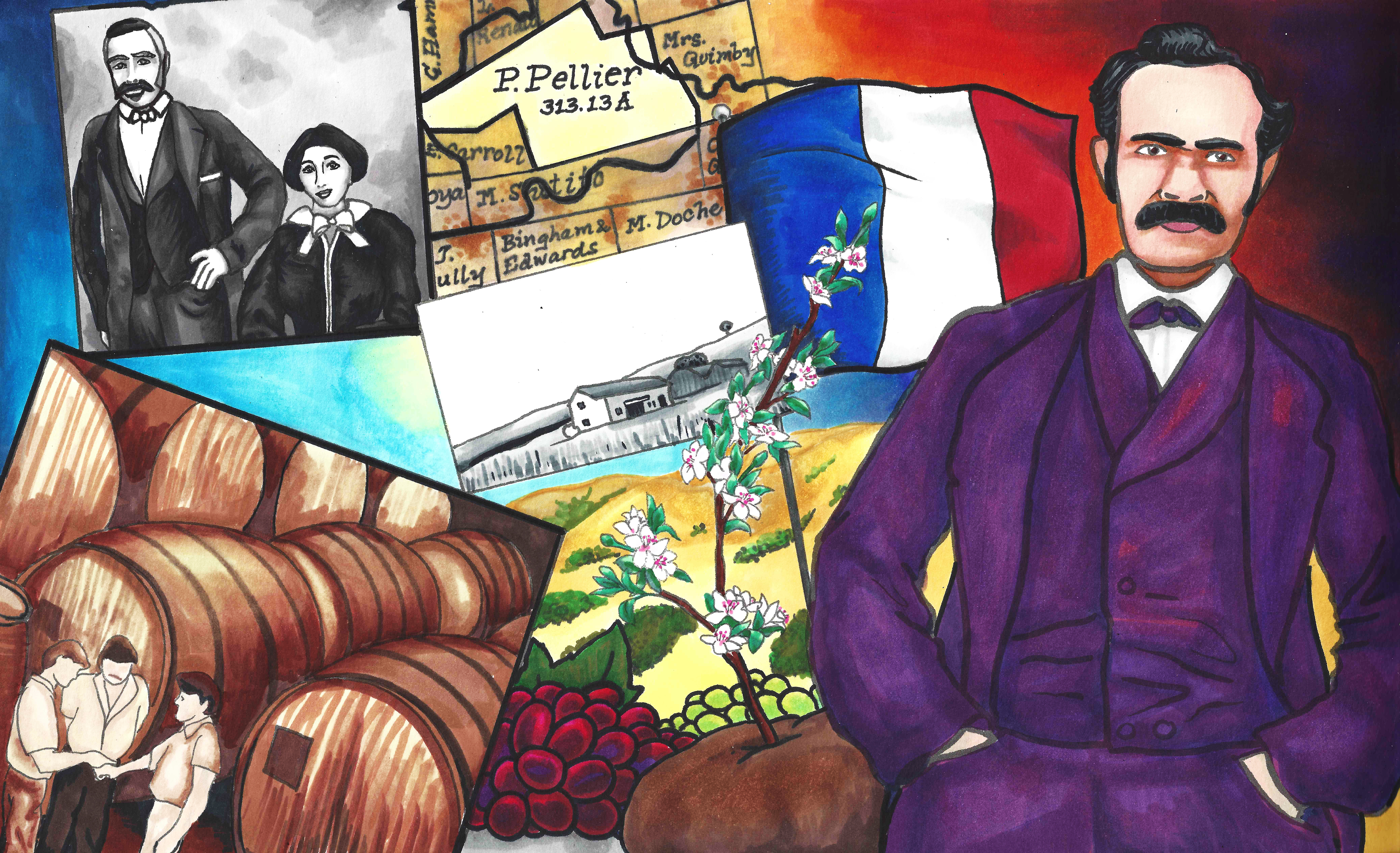
 The Pellier Brothers would eventually come to call Evergreen home in the late 1850’s. Before that, the Pelliers would live in the Pueblo of San Jose as California became a State and as San Jose became its Capitol in the early 1850’s. Luis Pellier would get creative with his brother Pierre while gold panning in 1848, changing San Jose and California forever once again.
 By bringing over their cions , seeds, clippings and plantings from their Native Country of France, Luis, Pierre and Jean Pellier would set fire to the huge California Fruit Industry. Basically, there was no industry before that, as Mission lands and their predictable orchards were left unattended and were being reclaimed by wilderness. The California Missions were secularized by Mexico in 1833. By the time the Pelliers came to California, the Missions weren’t even holding Catholic Mass.
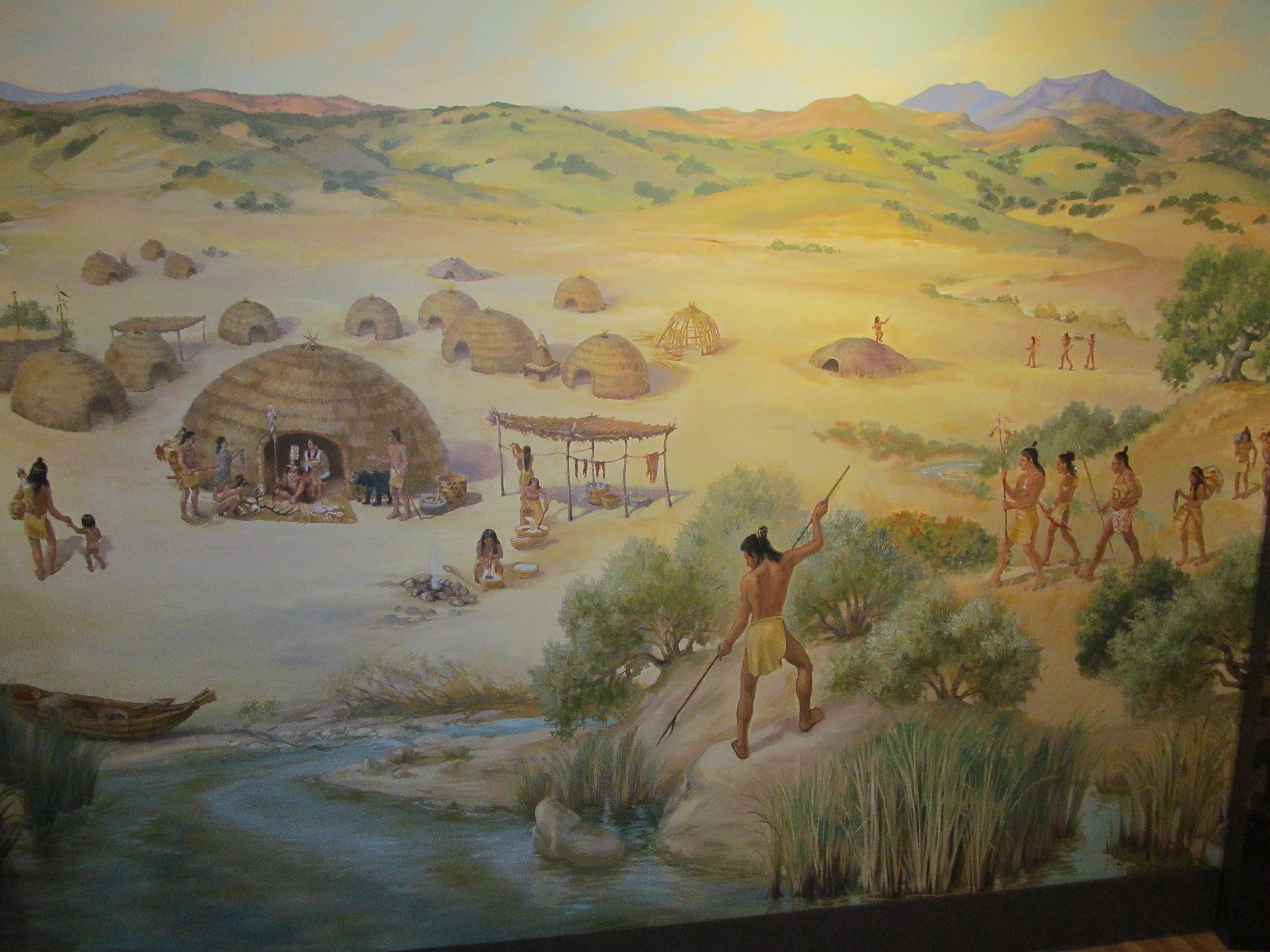
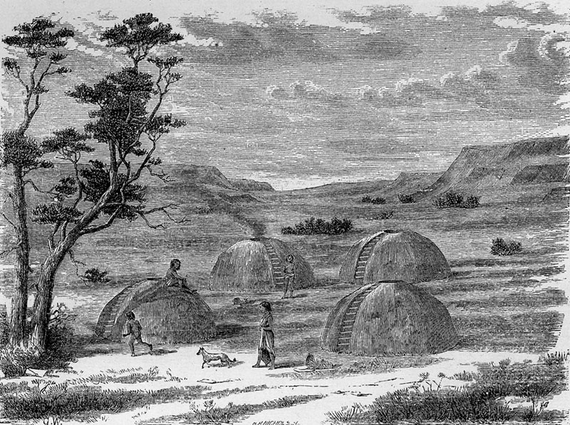
In fact, Evergreen before the Pellier journeys would’ve been cattle grazing land. After the Pellier journeys, Santa Clara Valley would become known as the Valley of Heart’s Delights.
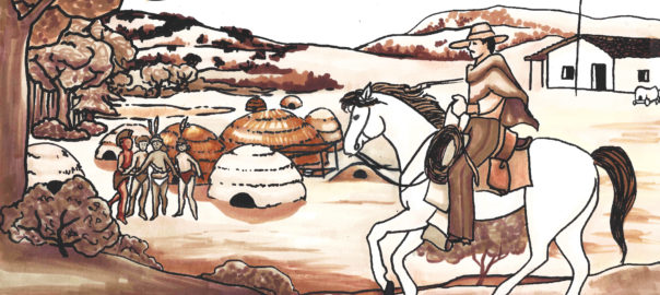
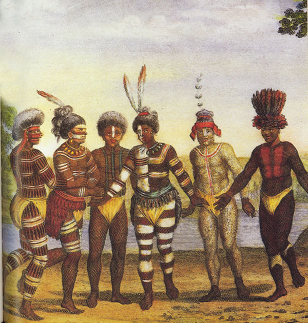
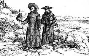
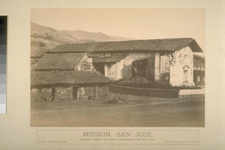
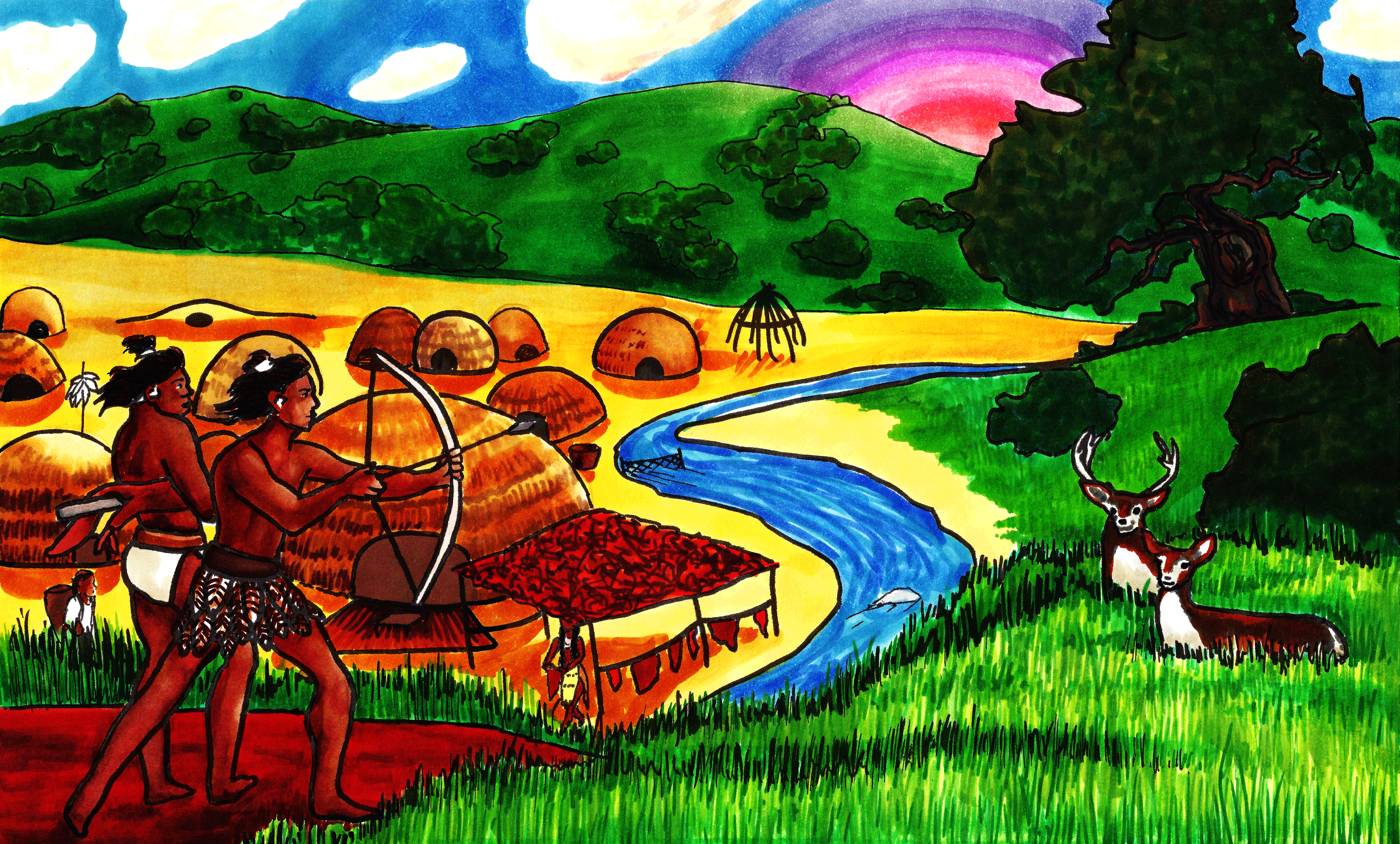
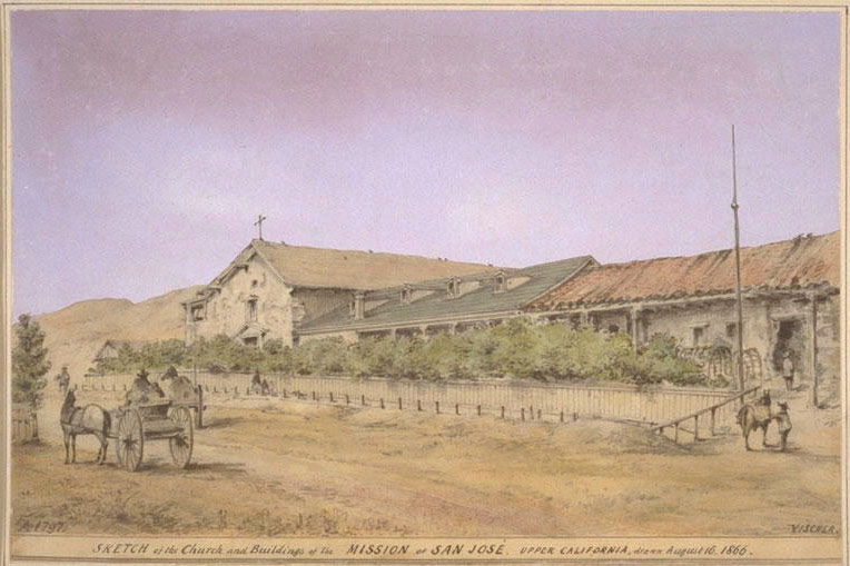 What was grown in the Spanish Period at the Franciscan Missions in California from 1769-1821? I’m so glad you asked. The indigenous native peoples, priests and monks grew “mission grapes”, apples, lemons and oranges, beans, veggies and olives for the most part. Olive Oil would be a source of pride for the Missions. The “Mission Grape” of the Spanish colonists was a Vitus vinifera, a Spanish variety that was black and blue in color. The clippings would’ve been brought over sea with Cortez’s colonization of Mexico or New Spain. Only problem was less than 1000 acres of vineyards would be cultivated in California until the 1850’s. These plants were a dying off as people left the Missions. The Mission Grape would have been made into wine for Sacraments. The Spanish may have brought apricots as well, originating in Turkey. There was an indigenous plum tree present in California. A wild grape, too, would be indigenous. Mission San Jose would be one of the biggest producers, but would’ve been closed for several years by the time the Pelliers set sail.

 What did the Pellier brothers from France with help from the Delmas brothers bring to the Port of Alviso and to Santa Clara County? Luis and Pierre Pellier would pull into port and sell peach, pear, plum, cherry, apple and prune cions off their boat in Alviso in the 1850’s. Certainly his most famous contribution was the Angen ‘D Petit Prune, but the Valley of Heart Delight would begin with these trips to France and these cions. With the driving force of the Pelliers’ new varietals, the Fruit Industry would soon provide thousands of jobs, would drive people to come to the Santa Clara Valley and would bring spark the Fruit Canning business. We, in California, still feel the benefit of their actions today.
 The French Prune brought to California in 1854 was considered perfect for drying and dipping. After it was grafted on to a California plum tree, it became an instant success. Pellier raised orchards of prunes and a nursery famed in downtown San Jose. The Angen ‘D Petit Prune was immediately adopted by other Santa Clara Valley’s orchardists. This would become Santa Clara County’s identity to the rest of the United States through the 1950’s when Silicon Valley bumped it. The prune’s attributes, complimentary for drying and dipping, would make them a popular commercial export.
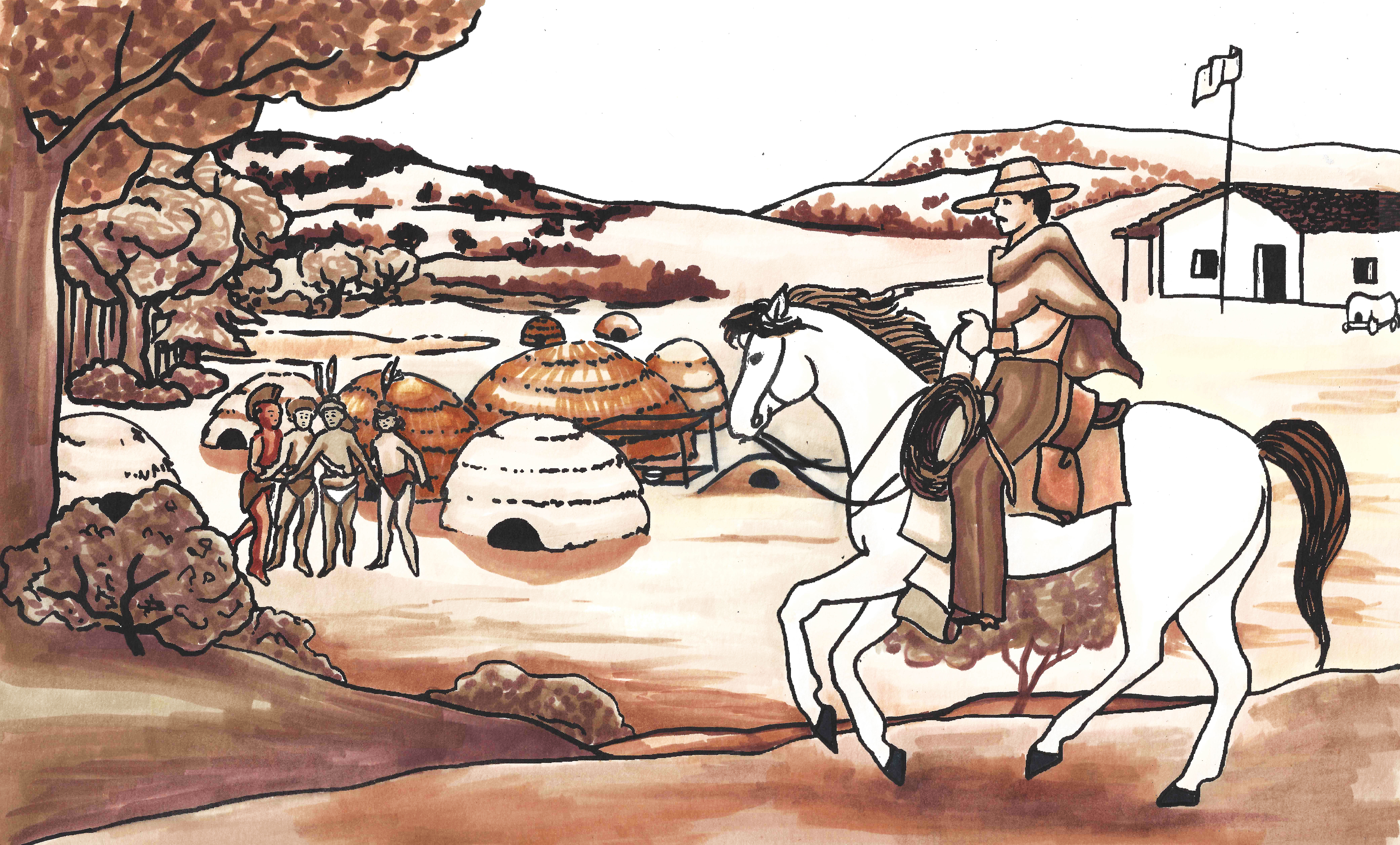
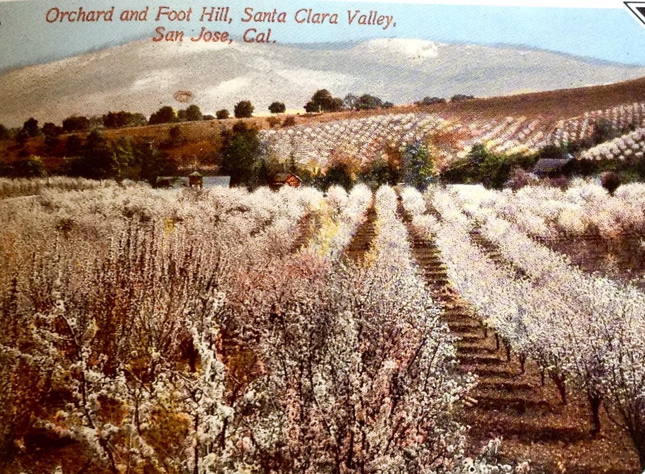 The Prune Orchards would quickly spread all over Santa Clara County, the Valley of Heart’s Delight, and then all over California. The French Prune ignited the whole California Fruit Industry, as only dried fruits could be exported. The Mexican Government had a hard time settling California. California through the Mexican Period (1821-1848) wouldn’t be well-known for its awesome agriculture, despite the rich soil noted by the Spanish Missionaries. Evergreen was a grazing land. The Missions closing meant the crops became scarce. Pellier’s strategy was inspired by the high price of fruit.
 A dollar gets you much less today, so you will naturally need more dollars to obtain the same product over 100 years ago. Here’s an exception to that rule. Before Luis and Pierre Pellier’s travels, an apple would cost over a dollar. Today, $2.00 would get you a pound or several apples. The demand was so high for apples and produce, most people couldn’t afford them. You could forget about apple pie. That would’ve cost you over $20.00 in apples alone in 1850’s California. If you were in California in the 1850’s, you were a pioneer, gold panning and roughing it. Their business idea was brilliant. I wonder if they knew about the Manifest Destiny campaign that would send thousands of newcomers to California in a few short years.
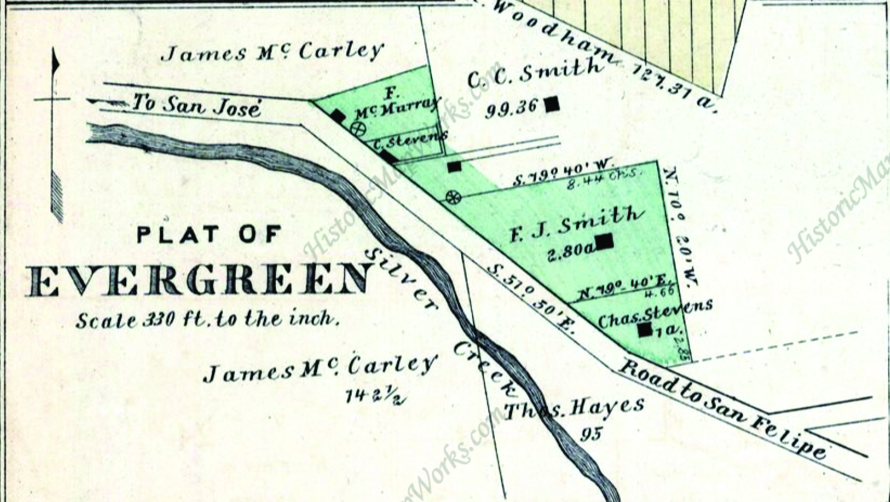
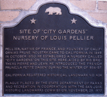 Luis Pellier would open “City Gardens” and sell his cions and young trees to the rest of Santa Clara County’s farmers in 1850. This was the epicenter of the Valley of Heart’s Delight, creating a path to the American Dream for farmers coming to California. The Pellier brothers would leave their popular nursery and orchards in downtown San Jose, where Pellier Park is today, and move to Evergreen to plant acres of vineyards in later 1850’s.
In 1858, Luis Pellier, now Evergreen resident, would present nine varieties of foreign grapes at the national trade show, being described as “unequalled to any other of the same variety”. Luis Pellier’s introduction of new grapes would almost single handedly create the California Wine Industry as well. Grafted on to Mission vines and indigenous vines, these grapes is really well in Evergreen. When wine was made and the word spread, the Pelliers struck gold again.
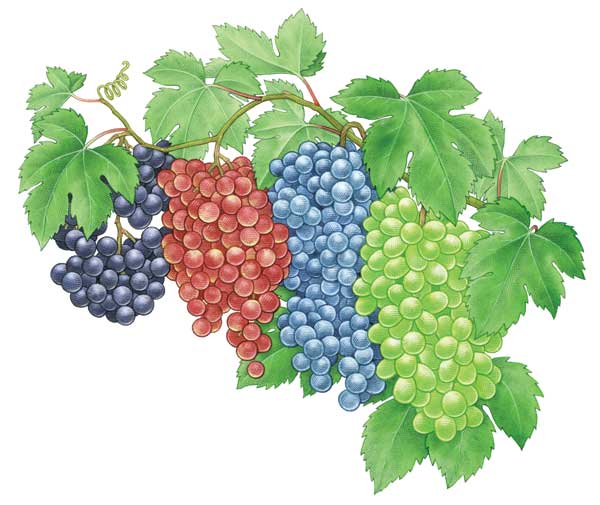 The Pellier brothers are originally from the Bordeaux region of France, well-known for its Wine Industry. The Pellier boys would’ve grown up cultivating their parents’ vineyards and orchards in France. Cabernet Sauvignon, Cabernet Franc, Merlot, Petit Verdot and Malbec would’ve been easily found in that region of France. Folle Blanche, the ultimate brandy making grape, has been contributed to Luis Pellier. A Black Burgundy grape, another brandy grape, would also be brought to California by Pellier. A Mourvedre vine, similar to a Mission Grape but a French strain, has also been drawn back to Pellier. These would become popular in Zinfandel vineyards. Chasselas Fontainebleau, French Colombar and Madelaine are green grapes for white wines that have also been contributed to the Pellier brothers trips to France.
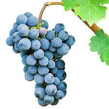
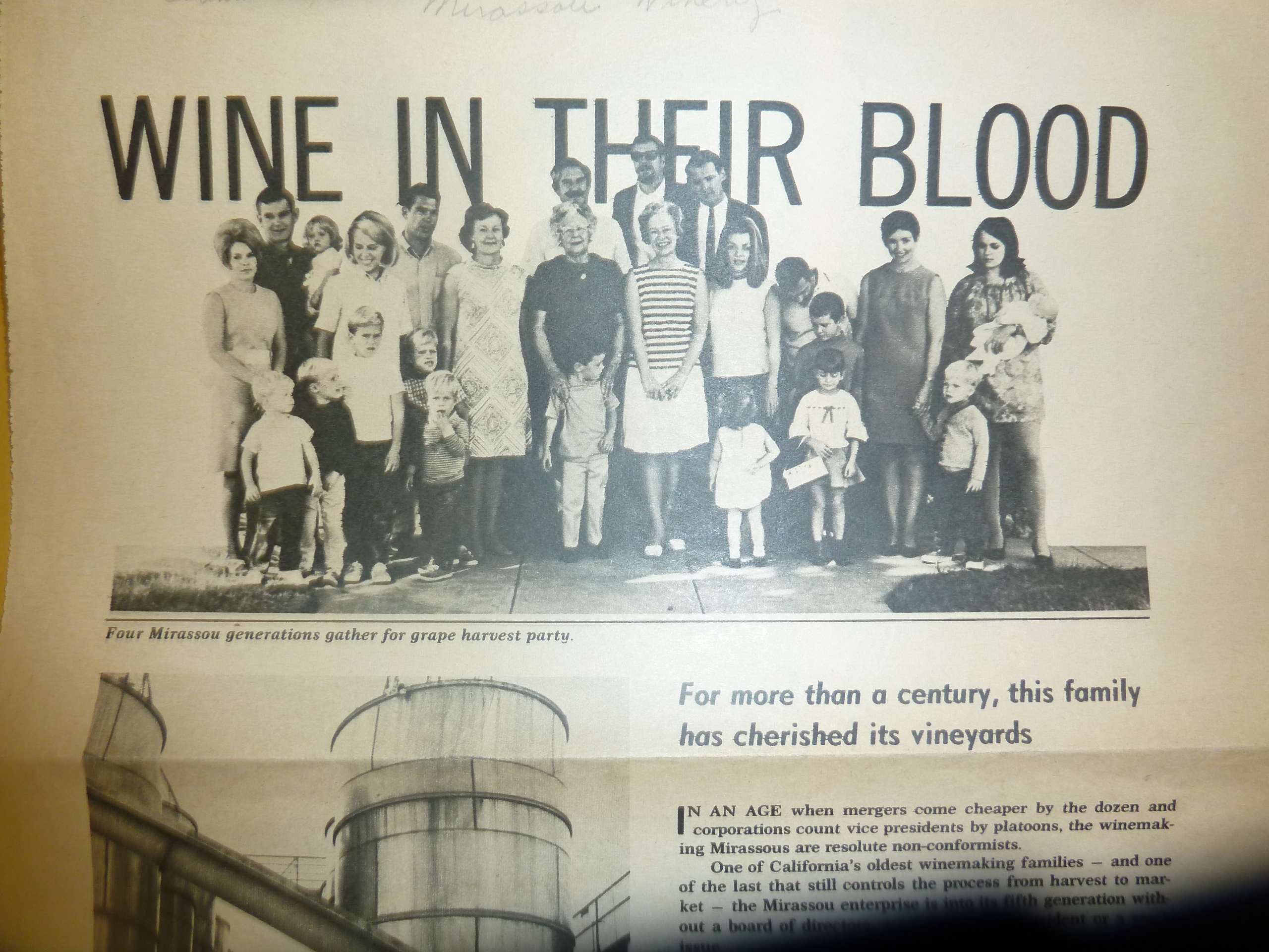
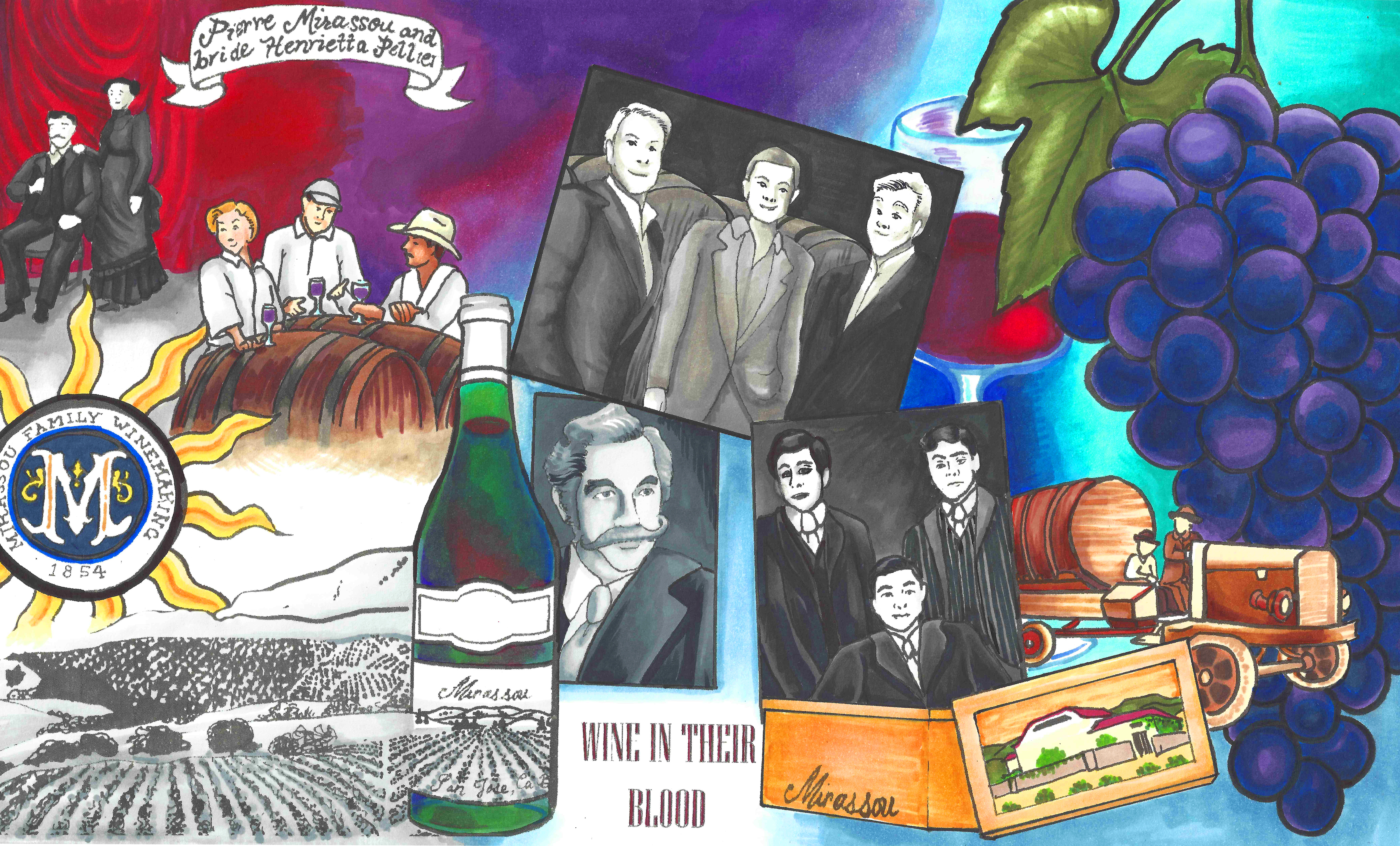
 Even though the Pellier brothers would become famous for their perfect prune trees, descendants of the Pelliers would be boastful of its Pinot Noir grapes and wines. These certainly would’ve been brought back from France in the 1850’s by their forefathers. Pellier descendants, the Mirassou family, have called Evergreen home for over 150 years. Mirassou Winery operated off of Aborn Road for 100 years and continues to be a landmark in Evergreen. Today, the Mirassou Winemaking Family continues to be the oldest Wine Family in California and continue to call Evergreen home.
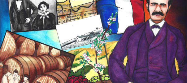
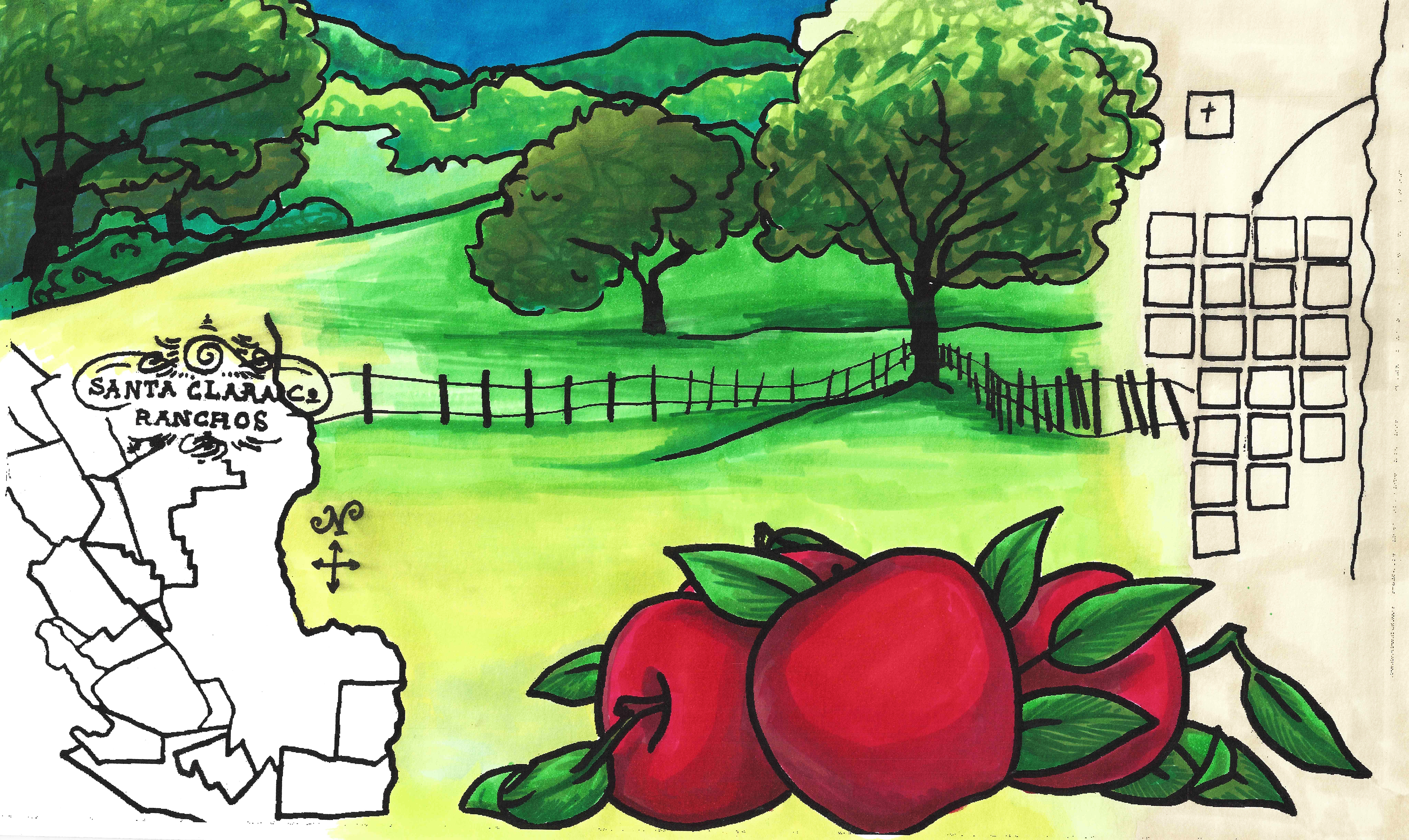
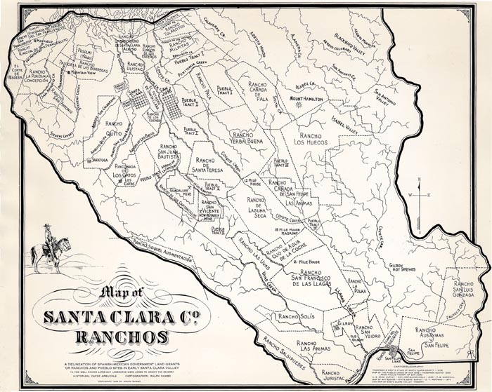
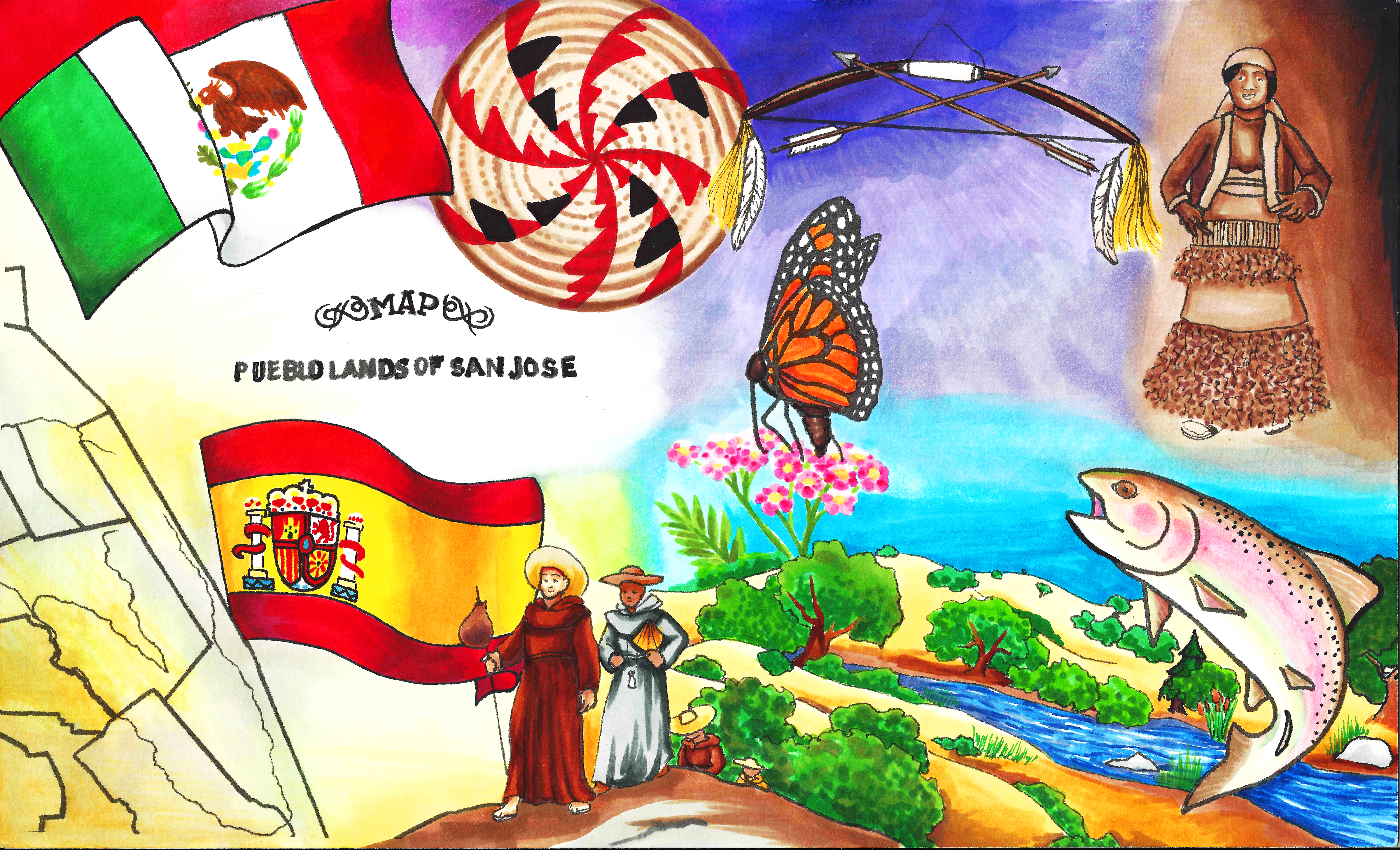
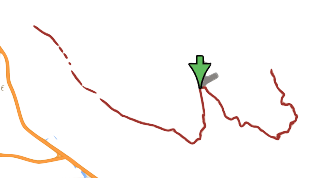
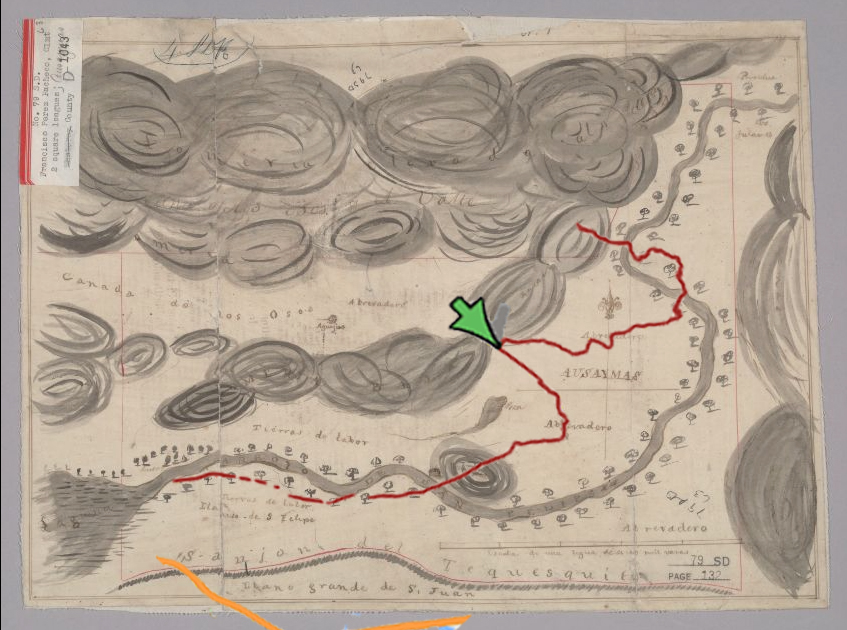
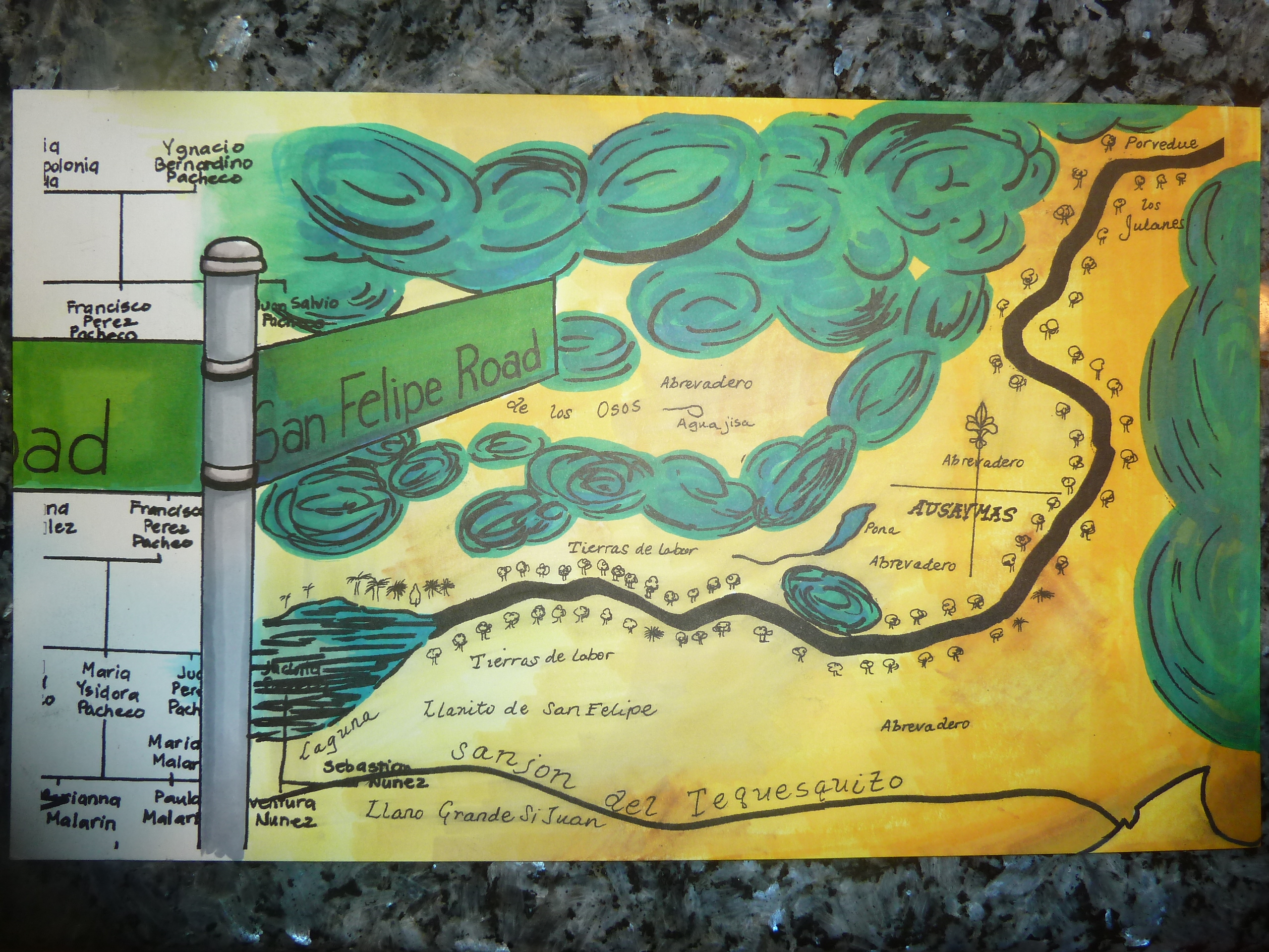
 Before this point, varieties of wine could only be found in Europe, mainly in France and Spain, and imported into the United States. California wasn’t well settled, but that would change fairly rapidly. Again, Missions harvested Mission Grapes for altar wines and brandy, but there wasn’t much more out there. What was out there was going away with the Missions closing. With the Gold Rush and Manifest Destiny in full affect, the Pelliers would be at the right place at the right time to make something amazing happen. California is the second capitol of wine today. It would difficult to envision Napa Valley today without its vineyards. 80% of these vines can be traced back to that Alviso Port. California’s Fruit Industry was initiated by Pellier’s cions. Luis Pellier is acknowledged as one of the founding fathers of San Jose. Here’s the artwork specific to the Pellier Family past and its present.

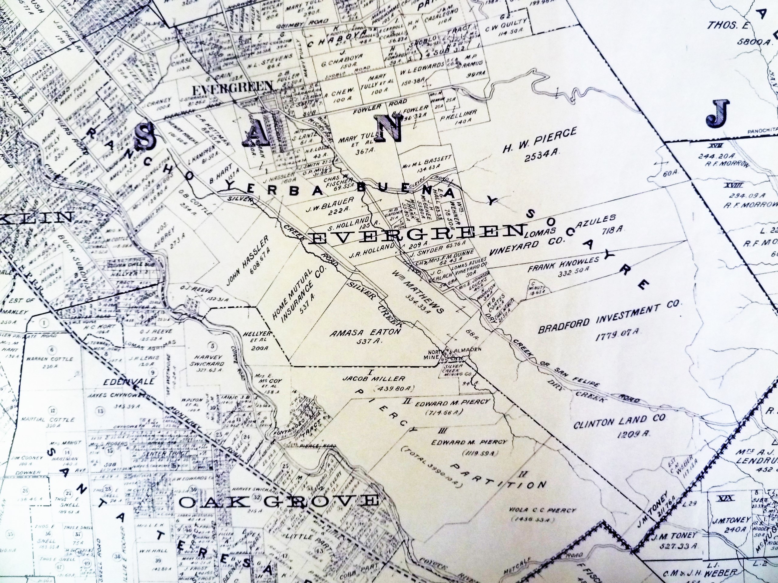
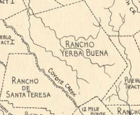

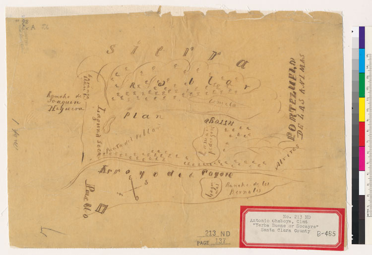

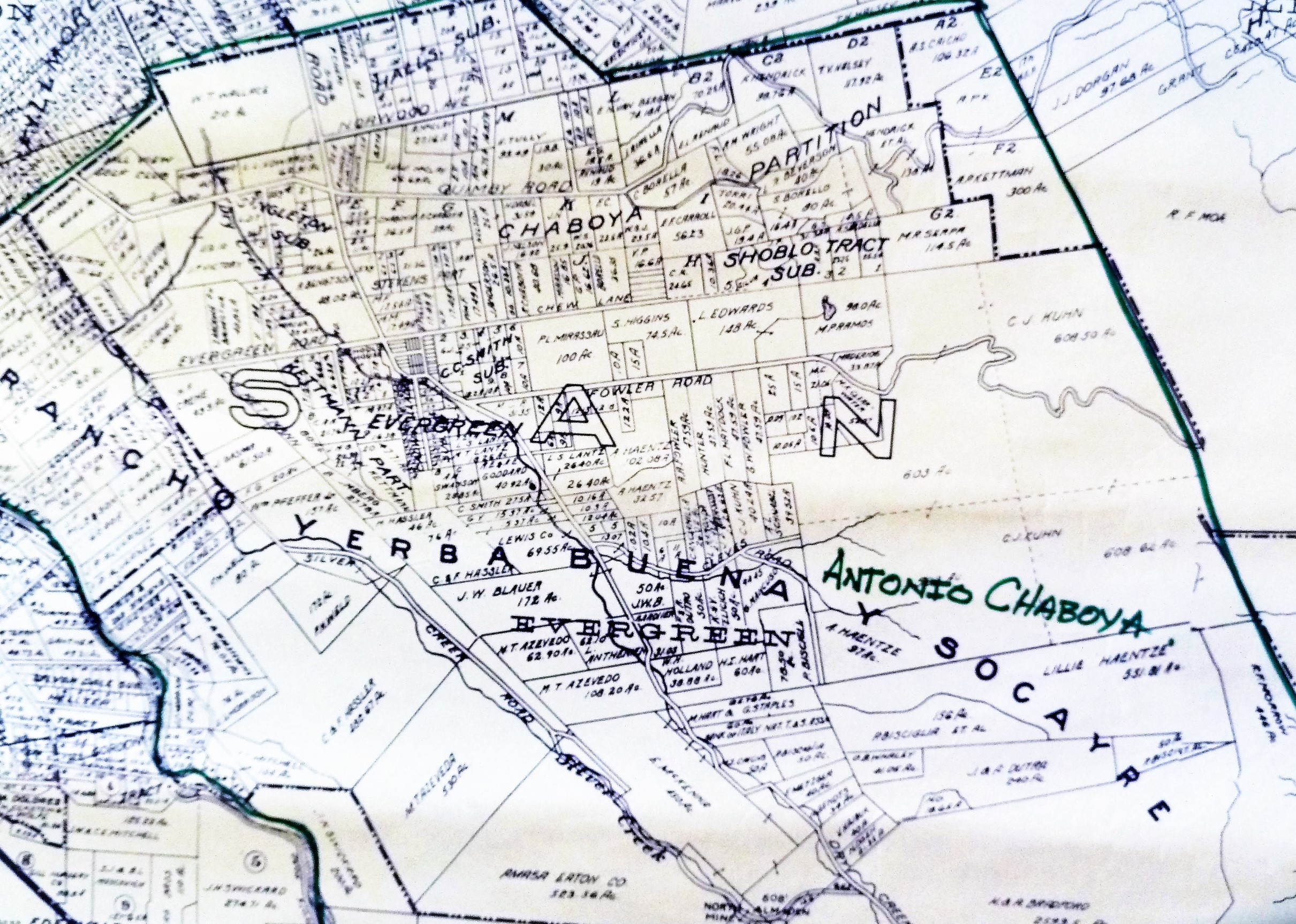
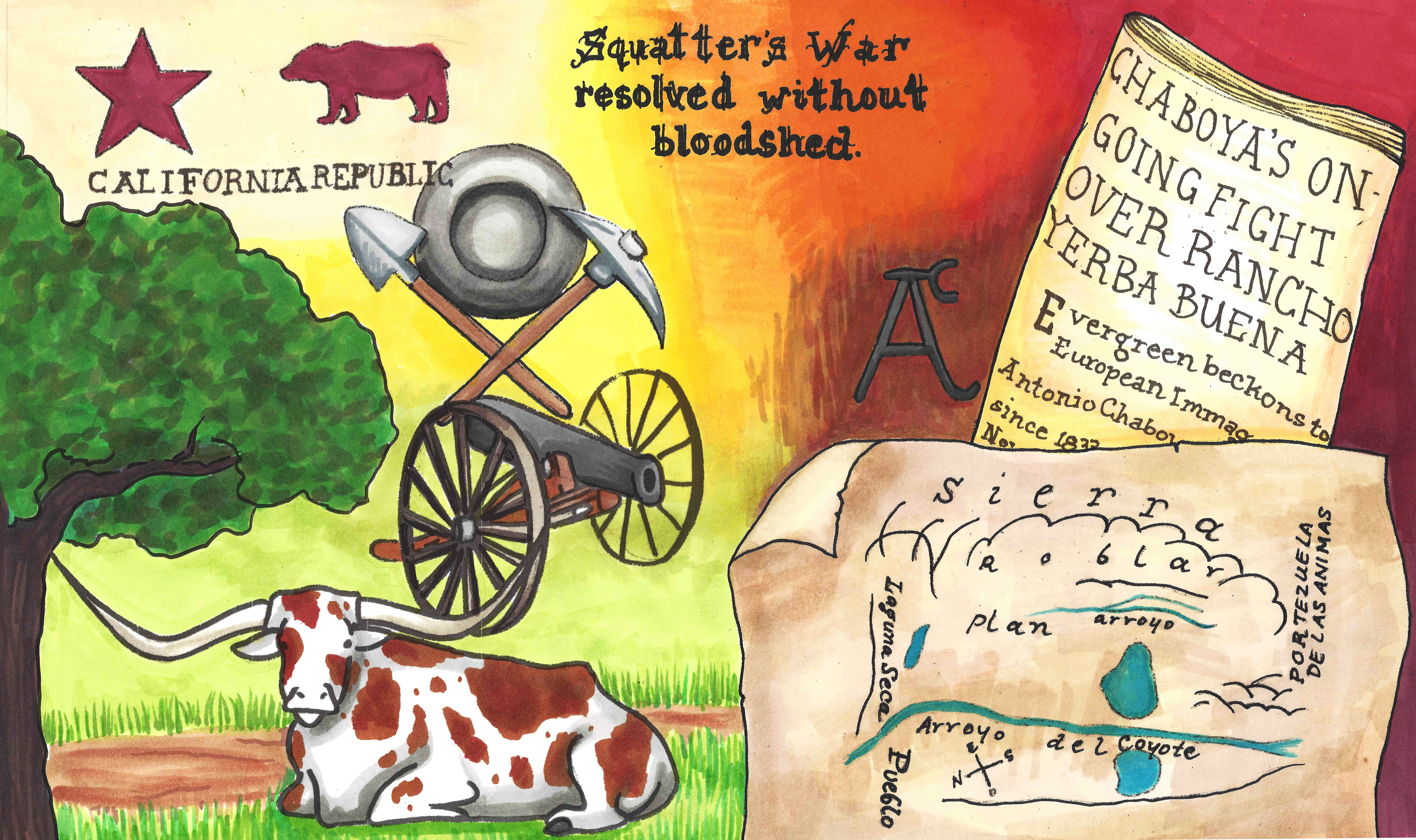
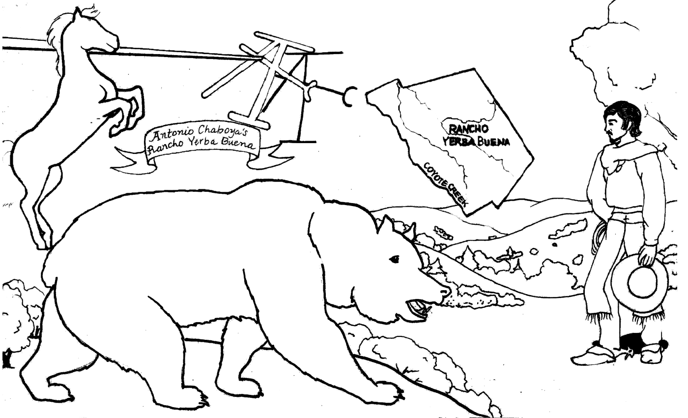
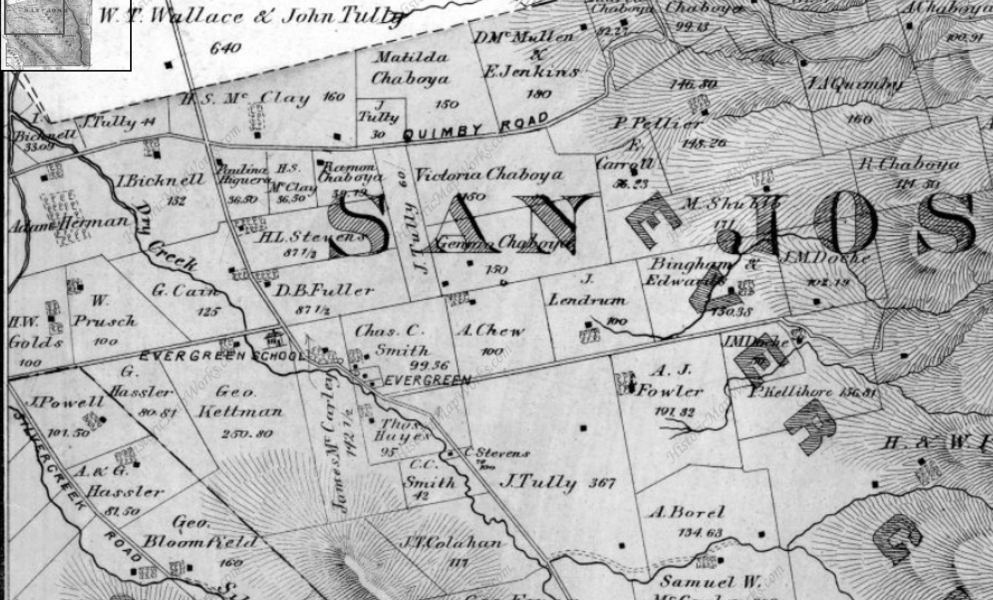
 After the Mexican American War, Antonio Chaboya again was granted Rancho Yerba Buena by the US Government in 1858, one of the first real estate cases heard over “squatters’ rights”.