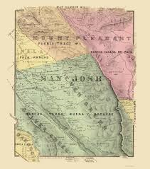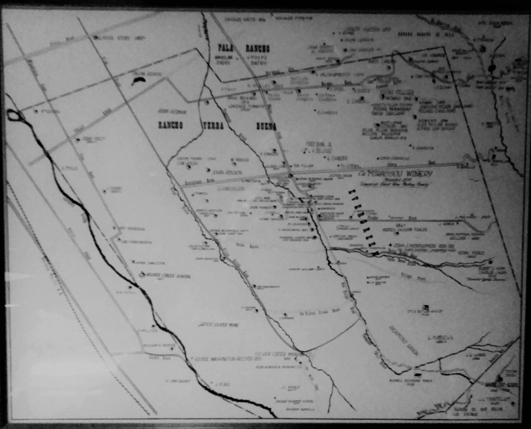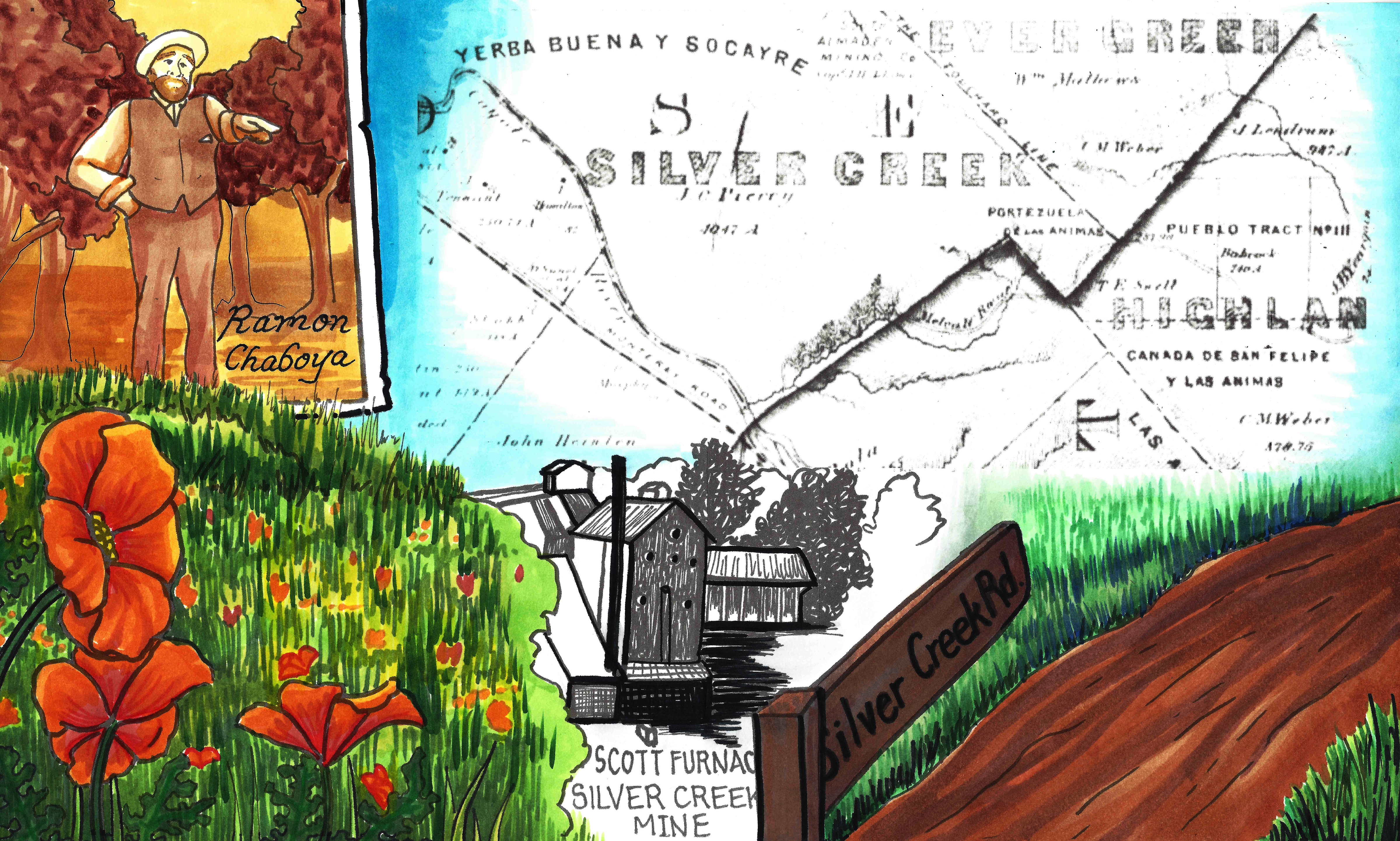
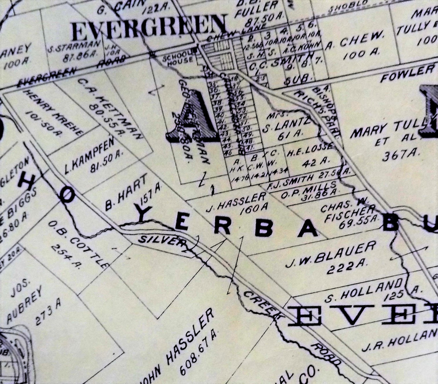
 The Cottles were long time residents of Evergreen who lived in Silver Creek, creek adjacent along Dove Hill. You can see them here, O. B. Cottle, directly on Silver Creek Road on the left side of this map. Trusted historian, long time resident and valued Community member, Colleen Cortese, told me that I’d like pieces of Orval Cottle’s Cobble Stone fences along Silver Creek Road. Try to say that 5 times past. Cottles Cobble Stone, Cottles Cobble Stone…. I followed that lead and looked where she told me.
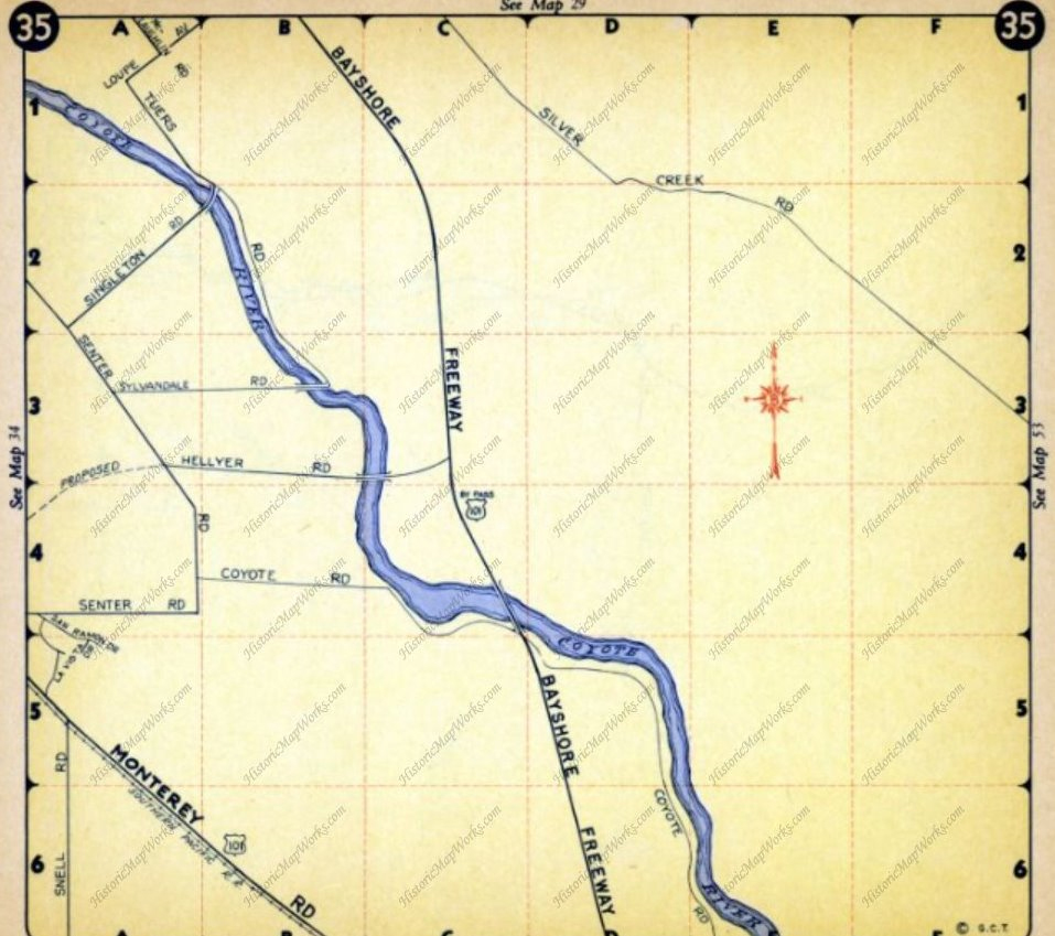
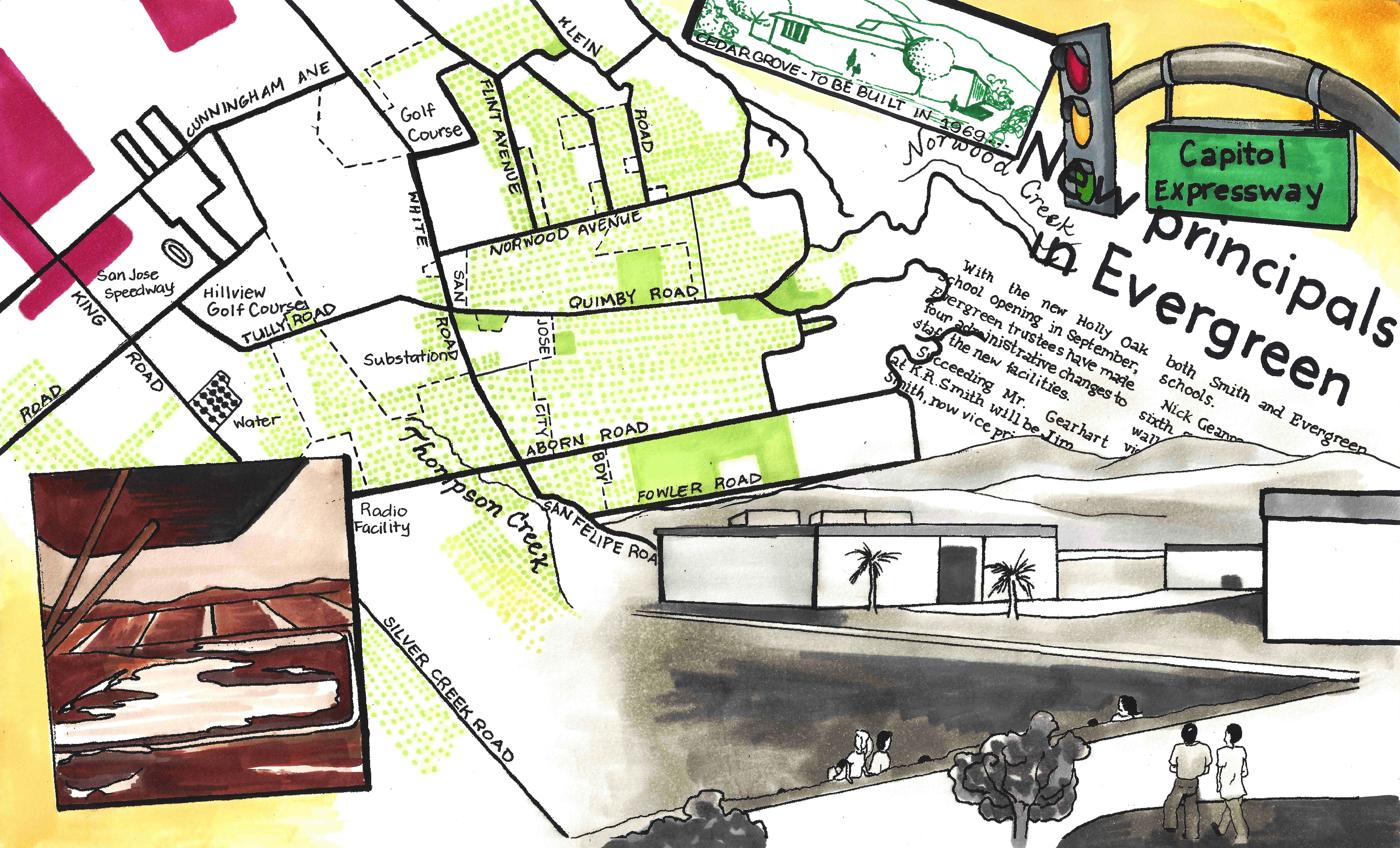
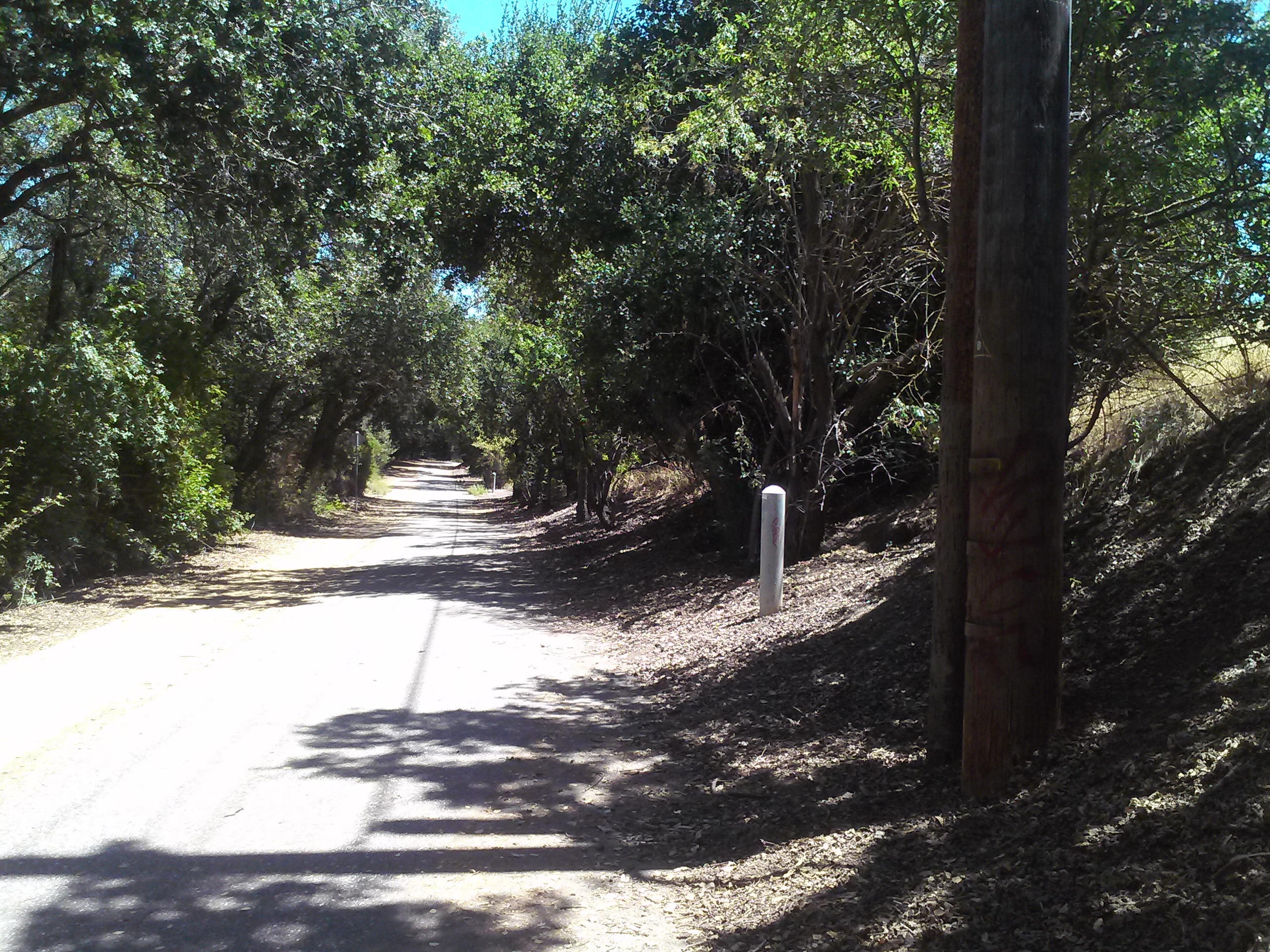 In fact, I followed that path specifically along Silver Creek, the creek, that continues once the road ends. This is a lovely little hike to commune with nature in a hurry. I had my computer packed with historic maps with me, trying to feel my way across the land and features. The Cottles lived around here somewhere. This beginning to the path would’ve been the first place the road and creek crossed. Where this meets Yerba Buena Road in another crossing of the creek as Silver Creek Road once led up the hillside. But… following the road didn’t do much for my hypothesis.
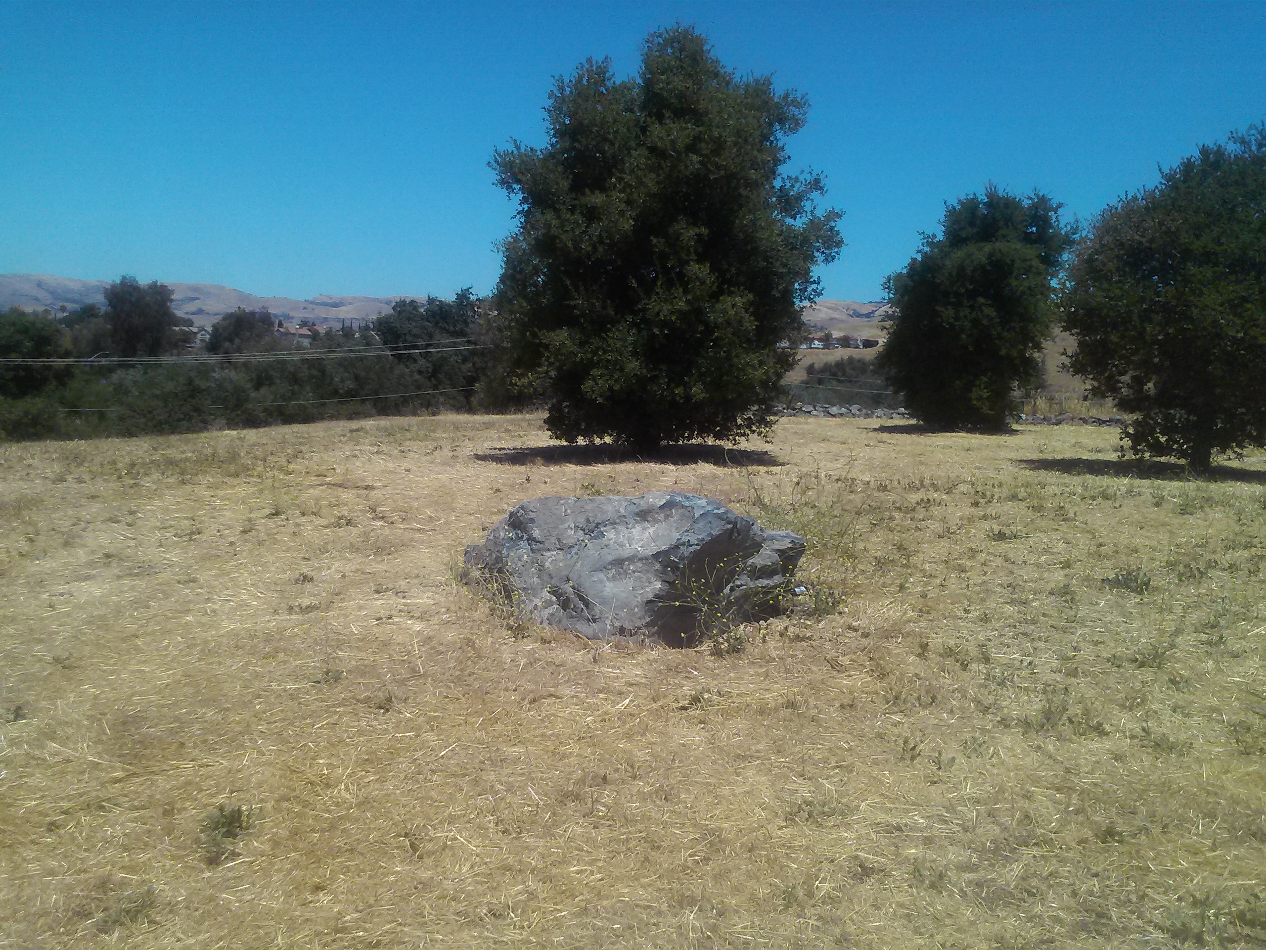
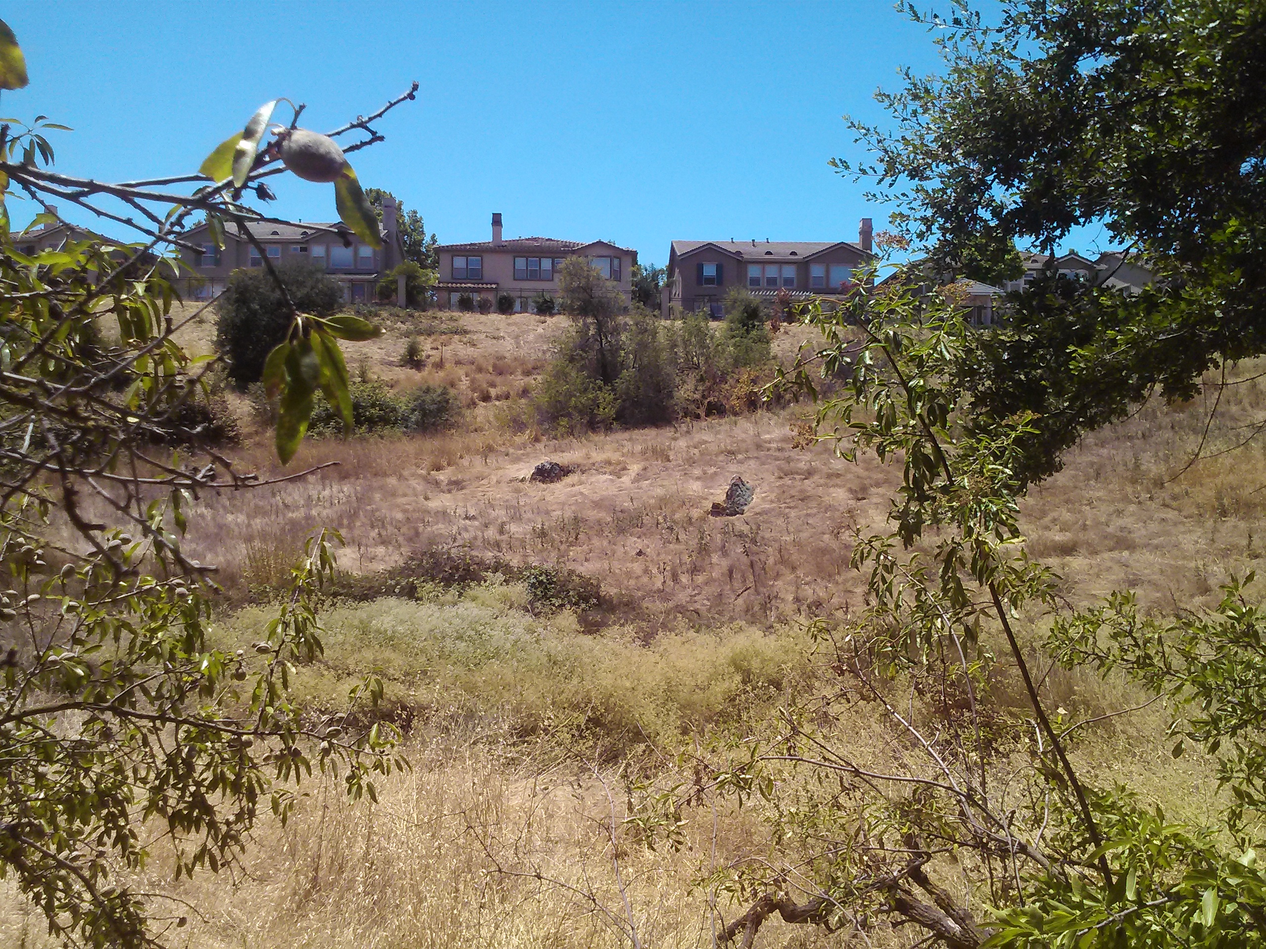
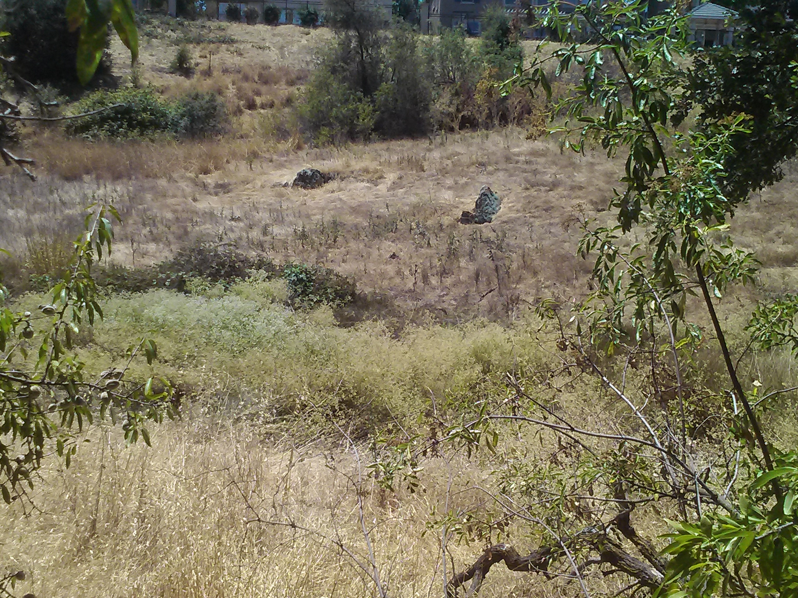 Along my hike to the West of the trail, I found two giant stones out in the open that I could align visually to be fence, but no visible guts of a stone wall like I’d suspect. I personally had zero desire to find out if there were rattle snakes certainly sunning on this gorgeous summer day. This path was old Silver Creek Road that connected to San Felipe Road some time ago, so it could’ve been the most Southern point of the Cottle Ranch.
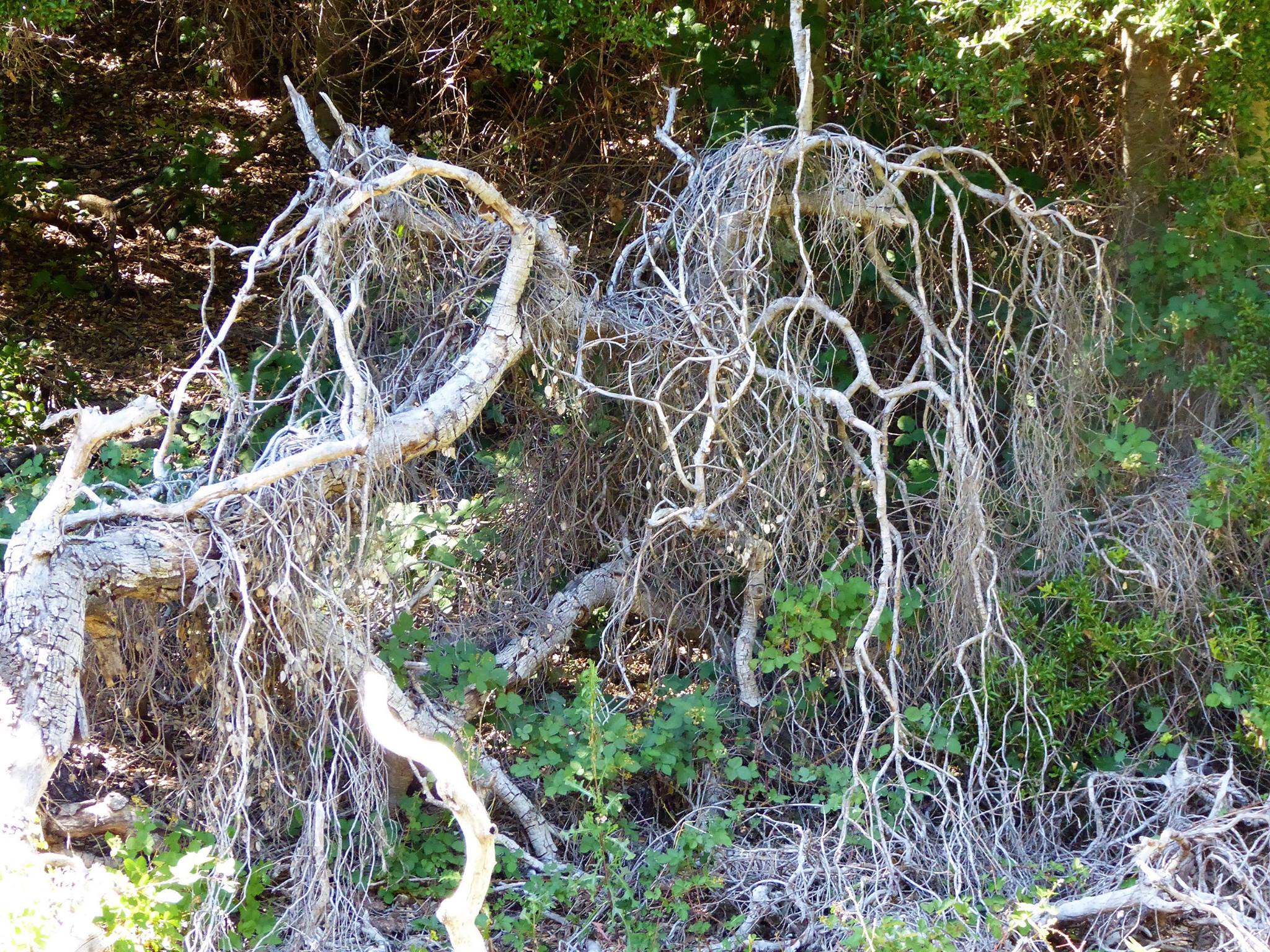
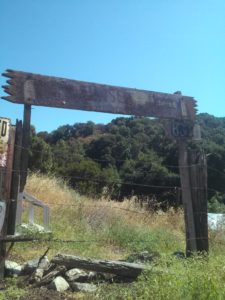
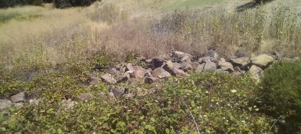
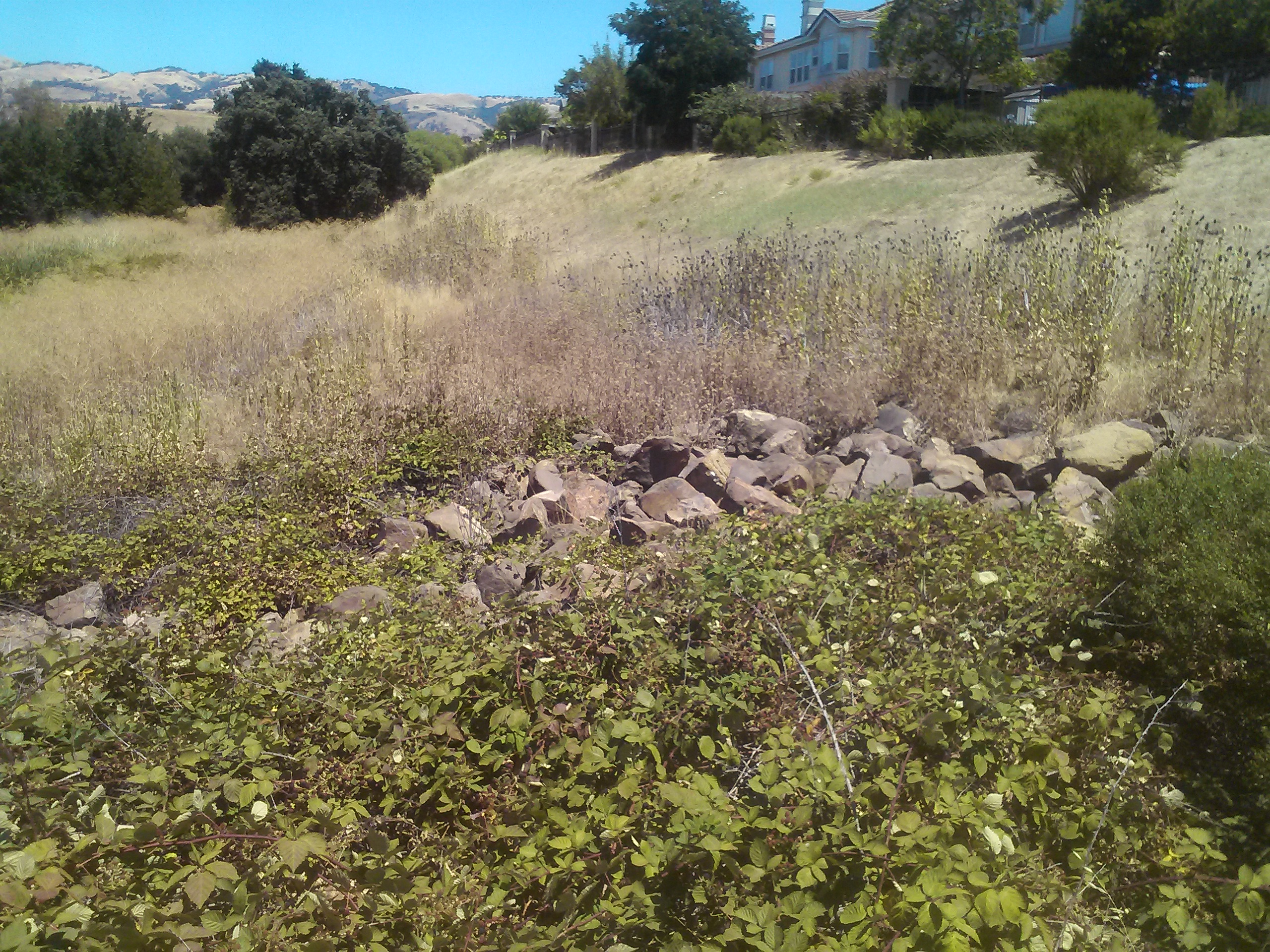
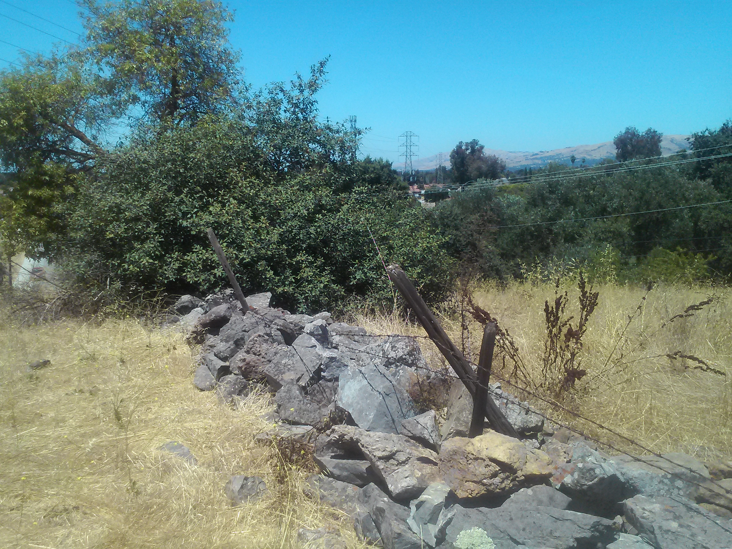 I veered for a hike up to the base of the electrical towers here, which appears to be a dog friendly path into Silver Creek. Well, I found more giant stones like before, but there at the edge of the plateau was a great cobble stone barrier left in tact. At the high elevation, I could see it all over the place. I knew I had found it.
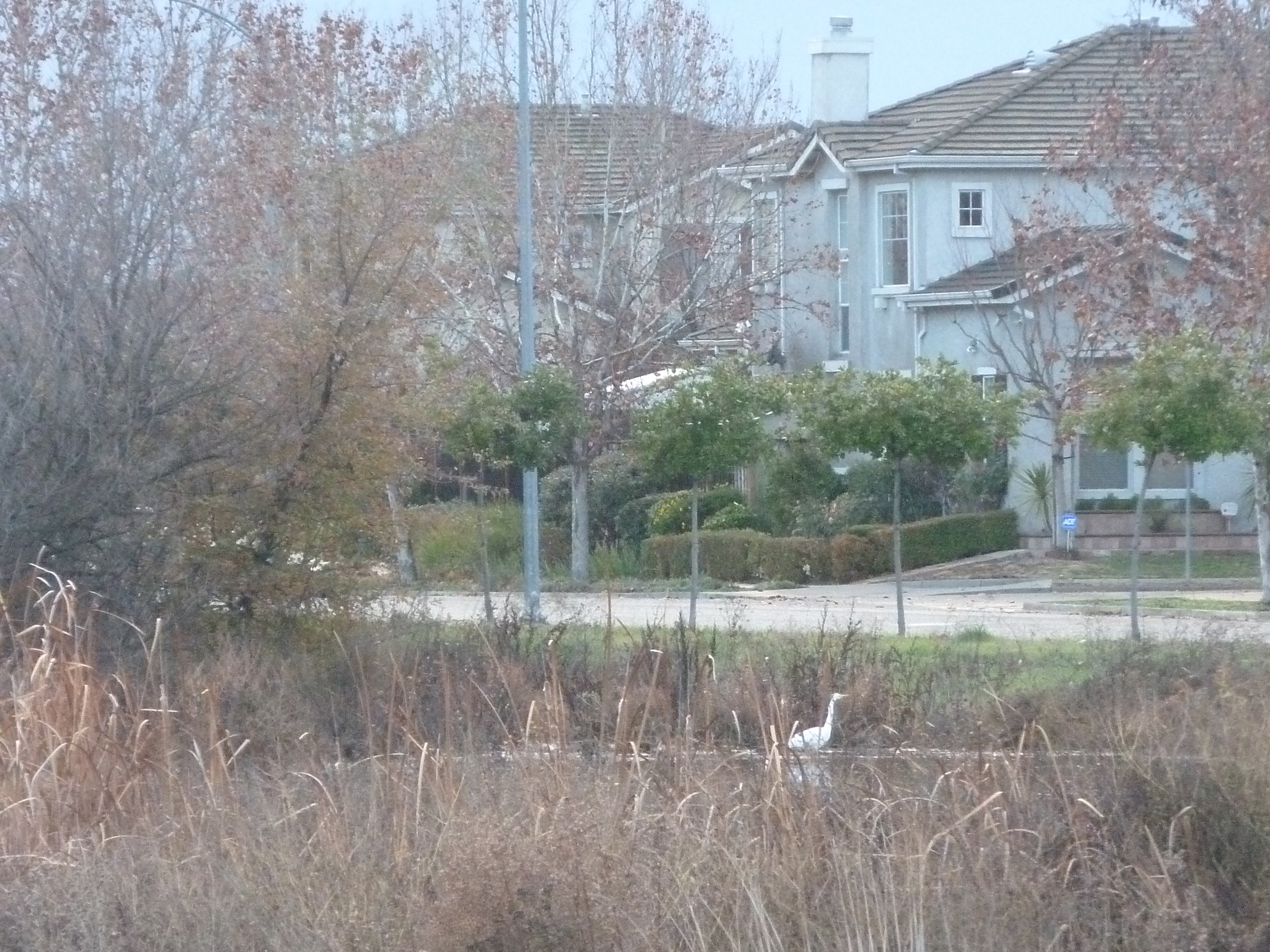
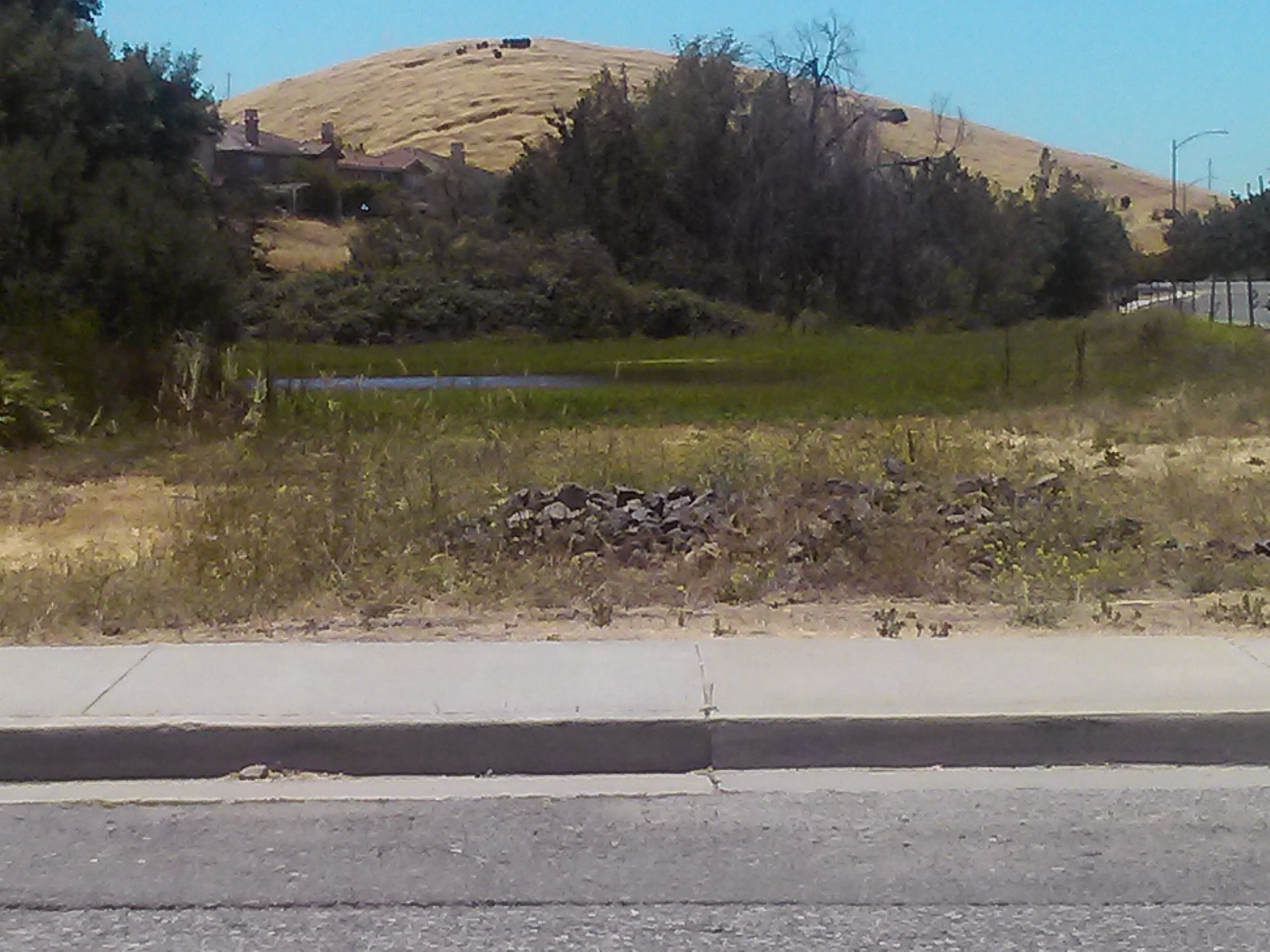 I found my way back to my car and saw a pile of the same stones at the base of the pond there, across from Silver Creek Linear Park, as I was leaving. I’ve been driving past here looking for Cottle’s Cobble stone a couple times and haven’t found it. That’s what this was the whole time. Not a decorative element by the home development company, but a genuine element. Rusted barbed wire along the path would’ve been the genuine article too. So I had to turn left off of Silver Creek Road and see if I could find anymore more of the cobble stone.
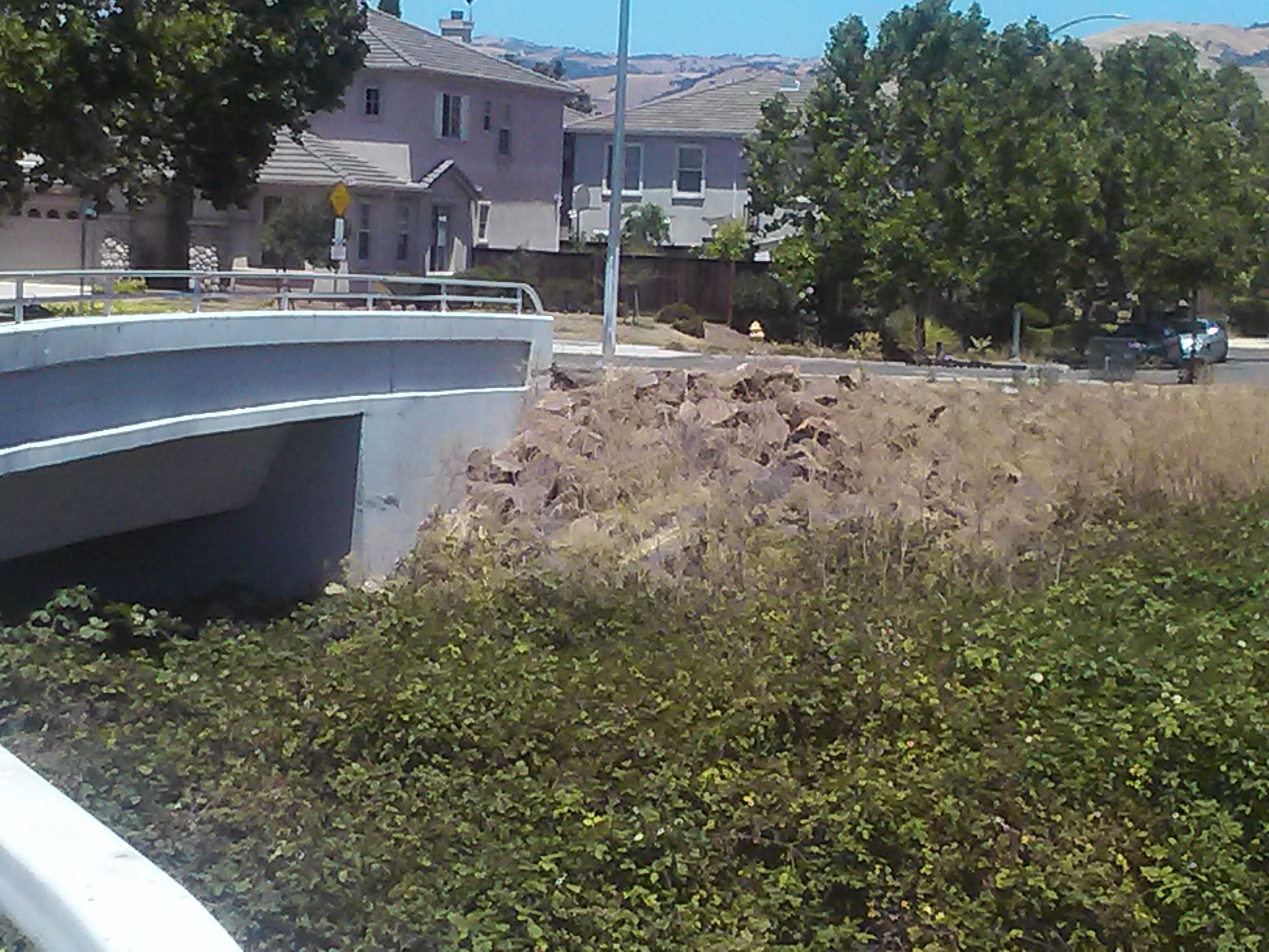 Jackpot. In fact, totally cobble stone wall formations left behind in construction. It’s apparent all over the place. It was probably expensive to remove but considered quite charming. This area, I suspect, was repurposed for the roadway here to the right. This cobble stone barrier is relic of a forgotten time. It’s beauty, however, never overlooked.
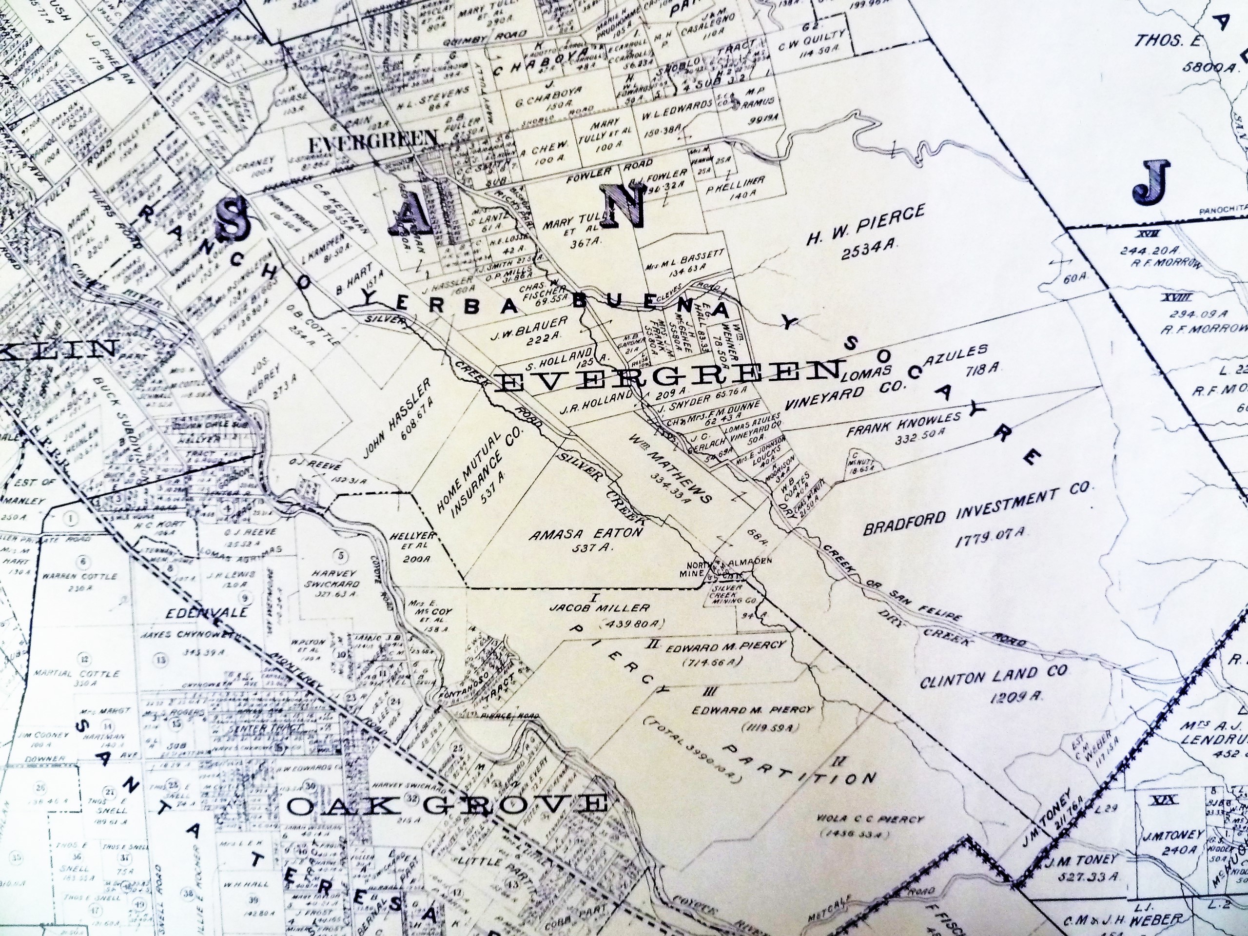
 The Cottles were married in Wisconsin in 1842 and came West to Nevada County in 1850, where he entered the mining boom. Mr. Cottle did a little bouncing around as a kid. In 1854, the couple relocated the family to Evergreen. Orval had a hard time buying his property in Evergreen, Silver Creek adjacent specifically, and rumored to have paid for the same land 3 different times.
Thought the map above states 254 acres on Silver Creek Road, a contemporary 1860’s source describes the Cottle Estate as “Located seven miles south-east of San Jose, where the valley floor gives wasy to the low foothills of the Mt. Hamilton Range, was the Cottle Farm of some 320 acres.The little stream known as Silver Creek meandered through the Cottle acres at the foot of the hills and then some distance southward left the foothil area and ran through the valley lands.The home buildings of the Cottle Farm were located on the edge of the valley floor, as it broke into the wider expanse downward some ten or fifteen feet to the shallow bank of the creek.”
 Children playing with their neighbors and cousins, rolling rocks down the hill would knock out a portion of the stone wall. That could be the reason these rocks have no noticeable debris between the giant rocks. It’s actually something I thought about looking at the landscape. The Cottles’ only daughter would end up marrying the neighbor boy, Frank McCray, who was present in the rocking and rolling that broke the cobble stone wall.
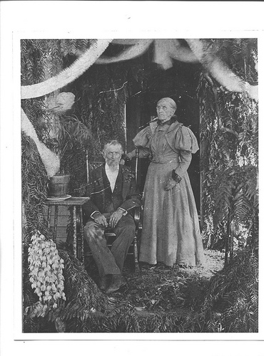 The Cottle Family cultivated orchards, vineyards, cattle, chicken and various other harvests. They would have taken full advantage of Silver Creek running through their yard, using the natural irrigation and spring nearby. It’s why the area is so grassy. It was cleared for farming over a hundred years ago. This is Mr. and Mrs. Cottle on their 50th wedding anniversary. They were very well liked and their grandkids were born in Evergreen as well.