 When you think of “evergreen” and trees in general, chances are you would think of Christmas trees or redwoods. Evergreen’s trees are not this connotation of evergreen. In our dear Evergreen, this couldn’t be further from the truth. In fact, our indigenous trees would inspire the name of the township, the communities surrounding it and many of its public schools today and not of them are coniferous. The natural beauties of Evergreen would inspire poets and artists throughout its history. These trees too are evergreen but the kind we generally think of.
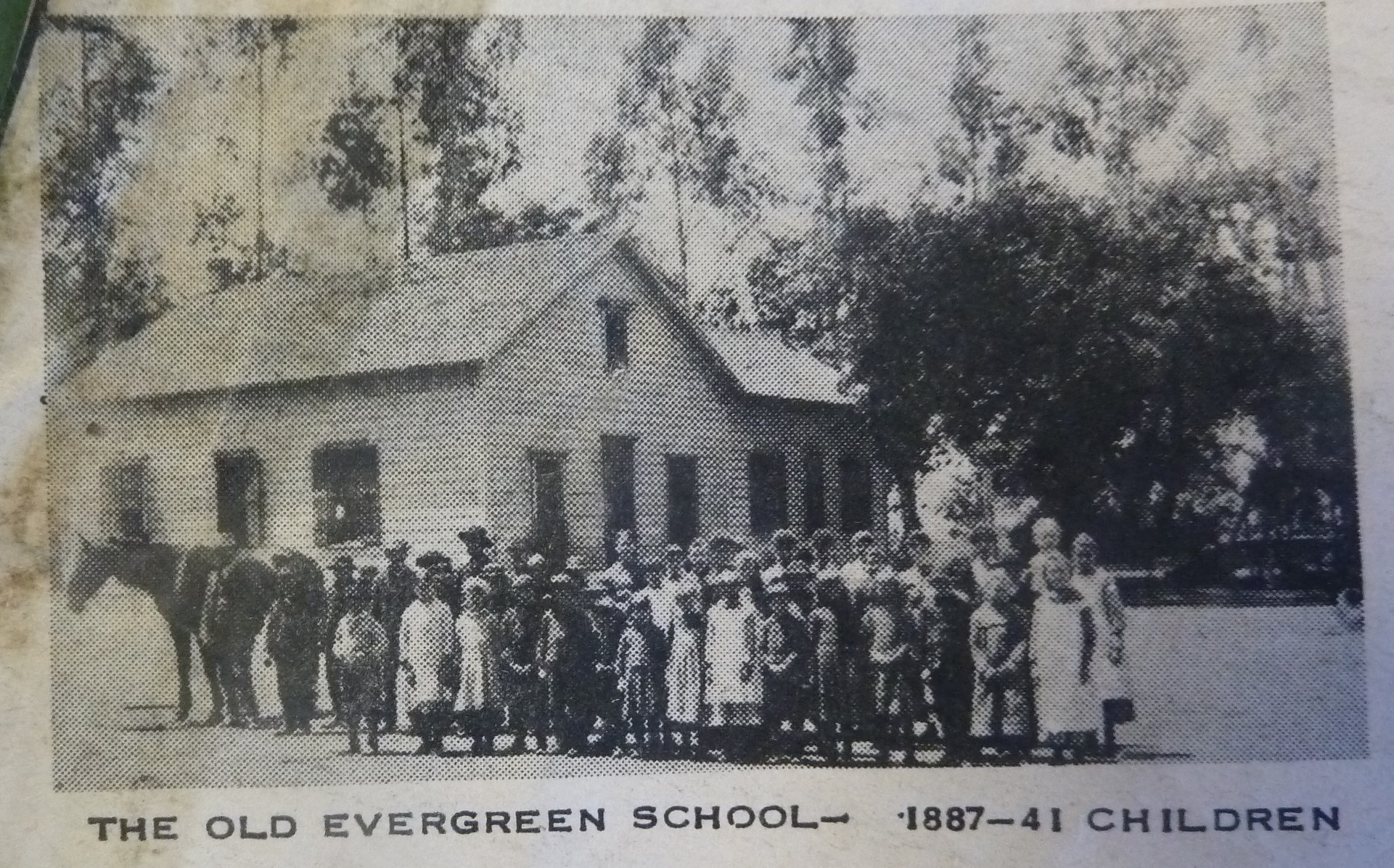
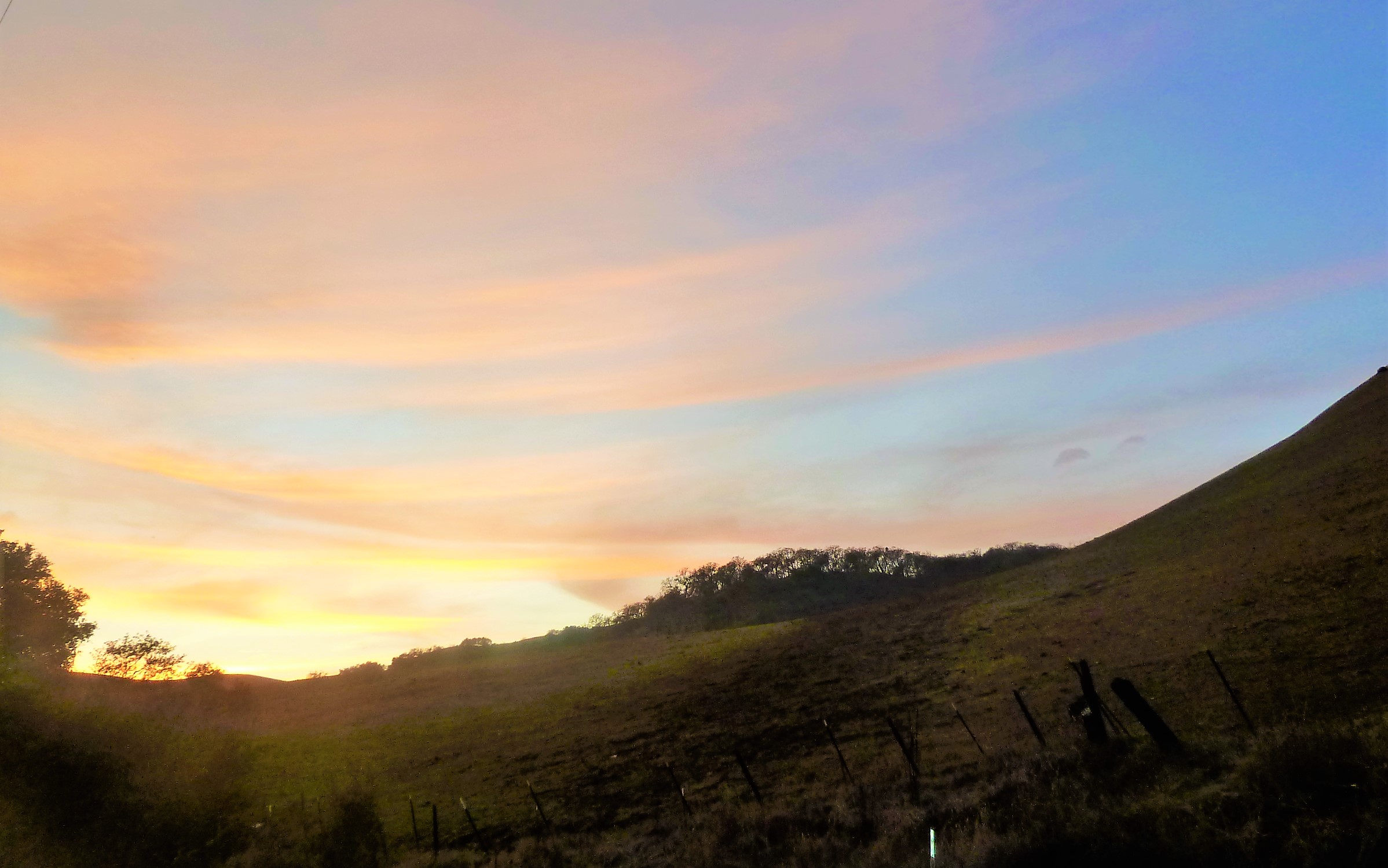
 Misnomer: Evergreen School District’s old logo may be Evergreen trees, but that might have come from the commemorative redwoods planted for the Evergreen School’s first teachers, like Markham and KR Smith. Evergreen was named for its lush, green hills covered in oak trees. I think if the name Oakland wasn’t taken in California, Evergreen might have been called Oakland. It’s all rich oaky grasslands with natural creeks which made hills green year round before farming irrigation.
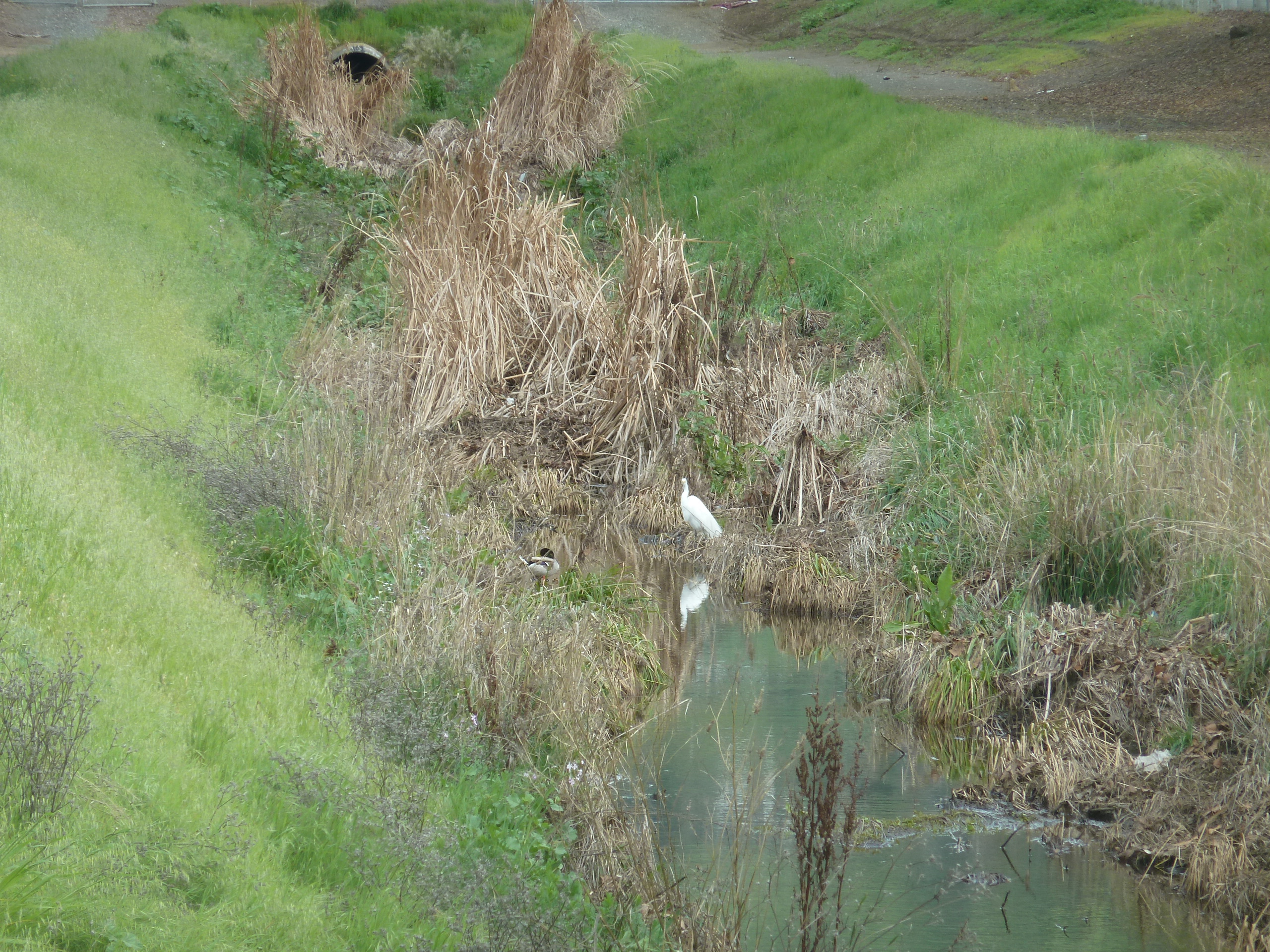
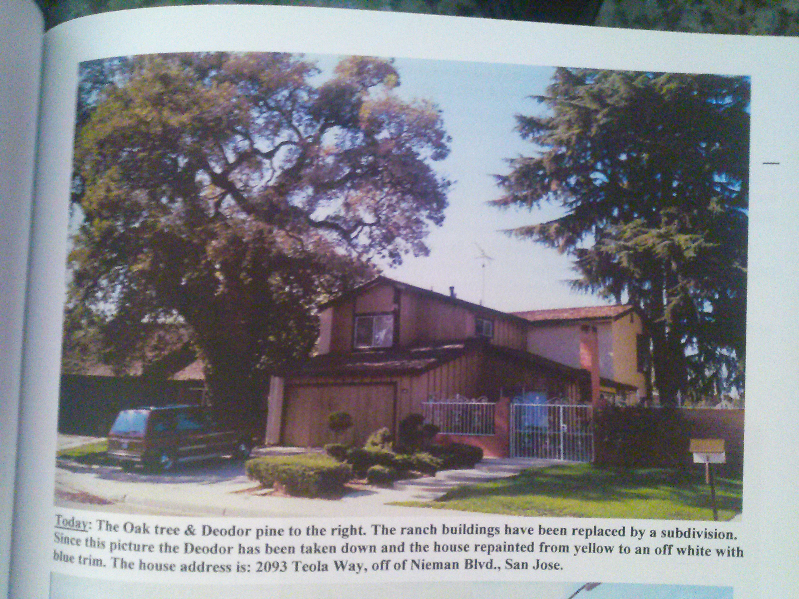
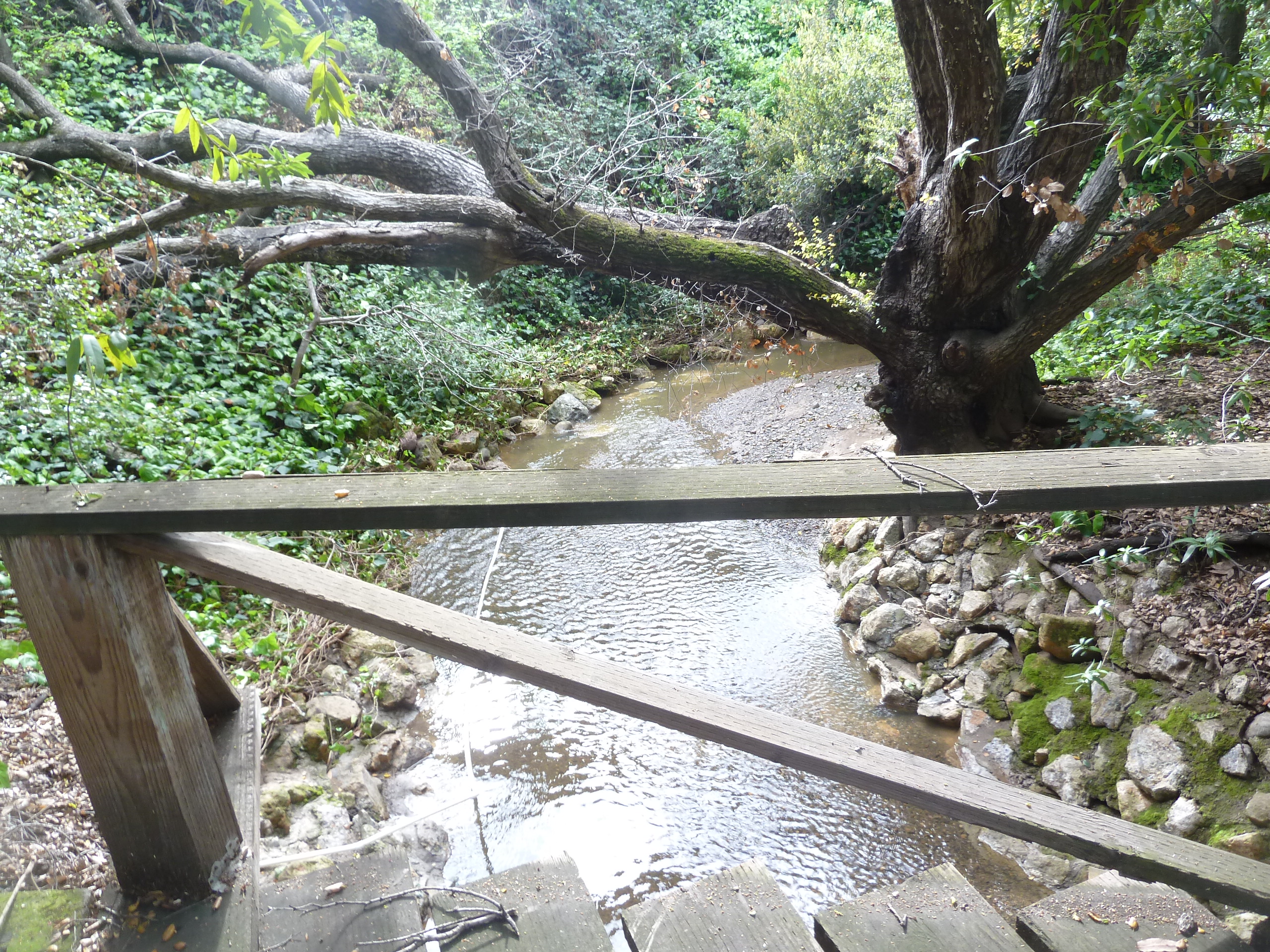
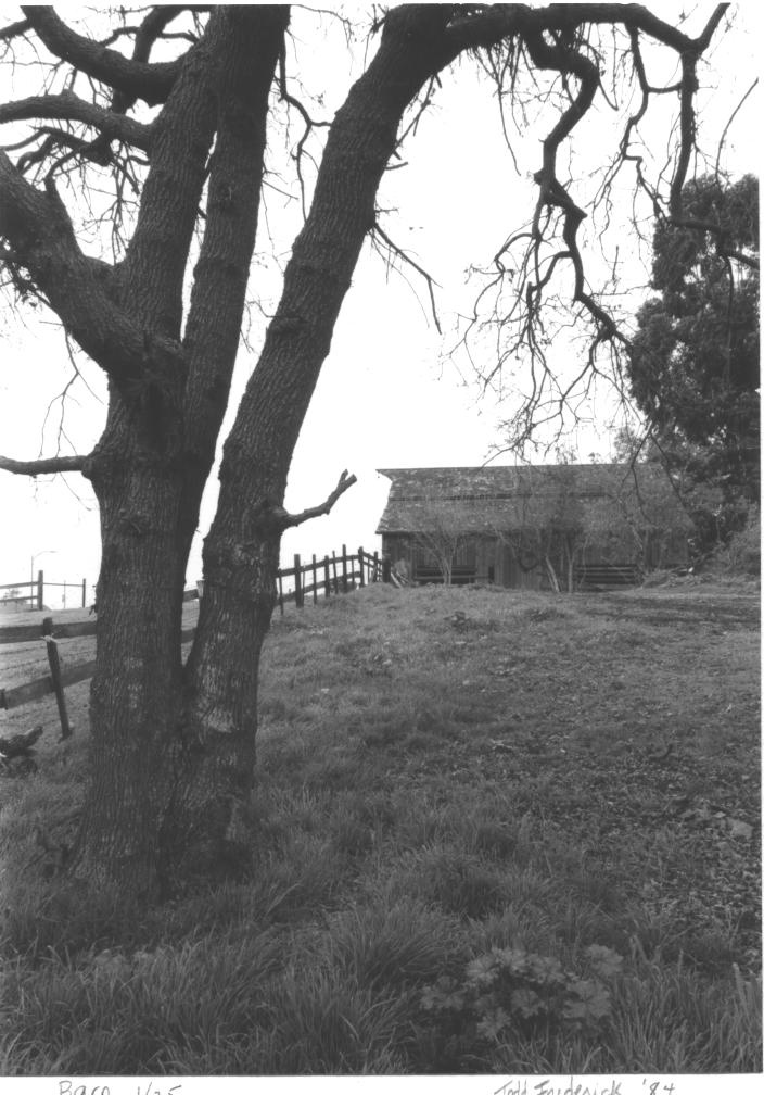
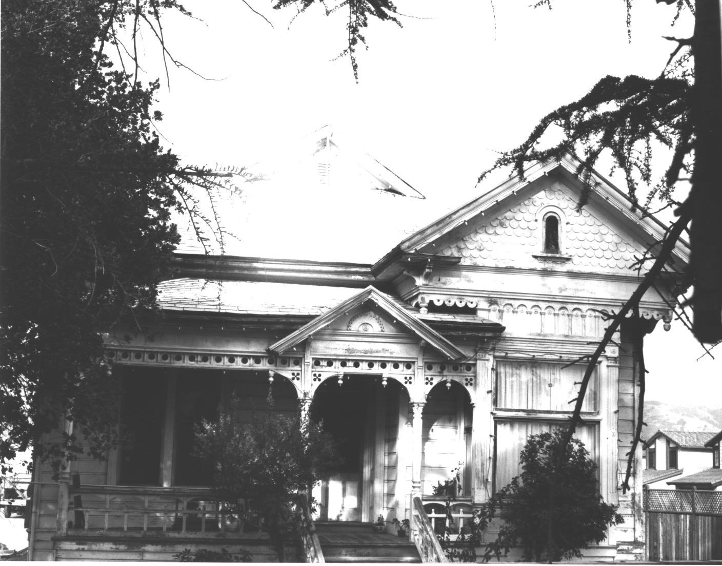 Evergreen definitely has some gigantic, wicked oak trees today in the oddest places amongst modern homes and along every creek, of which we have many. There are different species of oak trees around Evergreen. The oak grove along the Quimby Creek would give the name to Quimby Oak Middle School, built in 1968. It was built before Millbrook Elementary, built in 1985, which was named after a mill along this brook some 150 years old. Millbrook was built on the property owned by Henry Lambert Stephens, Evergreen pioneer since 1866. In fact, There’s a haunting oak tree in front of the former mill owner’s house today. Don’t worry. I’ll get you a better photo. This oak grove made way for houses and orchards. Quimby Oak Middle School is more likely the Victoria Chaboya property, not Mayor J. A. Quimby’s. He would’ve lived above Ruby Avenue.
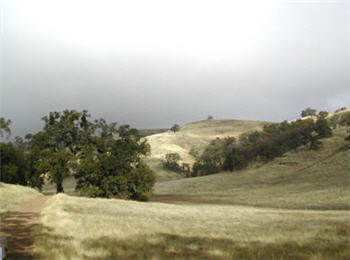
 The Honorable Judge Jerry Kettmann would show me oak trees in Evergreen that were over 200 years old. These would’ve been well grown in before the Judge would tend the Kettmann Family Ranch. These oak trees served the purpose of landmarks, deciphering the locations along the Kettmann ranch in a developed neighborhood of Evergreen. The neighborhood grew up around Kettmann Ranch in surrounding Cadwallader and Smith Subdivisions. This was once a large farm, actually two adjoined farms, in Downtown Evergreen. The town of Evergreen must have looked very different back then. These space oaks would be unchanged relics of a time before ours.
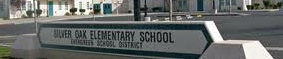
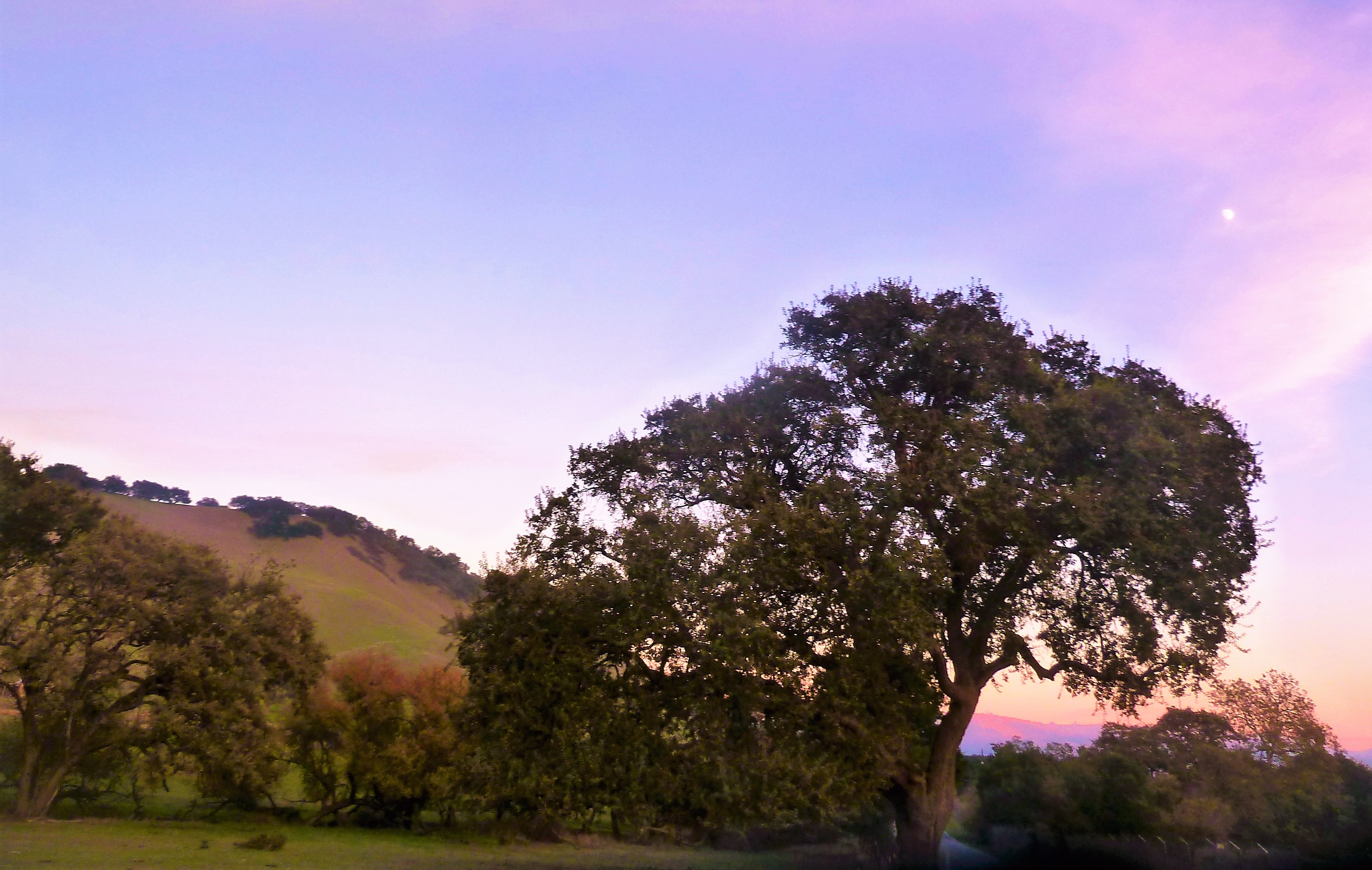
 Silver Oak Elementary School, built in 1994, was named for a particular tree that was silver in color up on the hill above the school in the 1990’s. The discoloration ended up being an illness this picturesque oak would come down with. Silver Creek Country Club removed the tree because it wouldn’t continue to be safe with the moving of earth around it that home building required. Never underestimate the beauty of a single, stand alone oak, though. This is such a common theme in photography from our community. The motif continues to inspire people today.
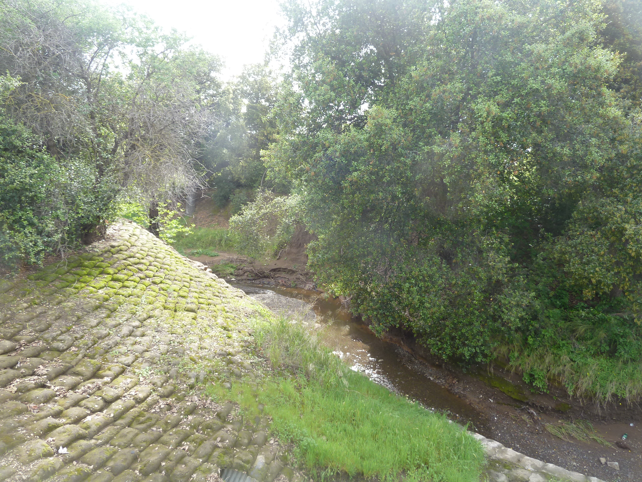
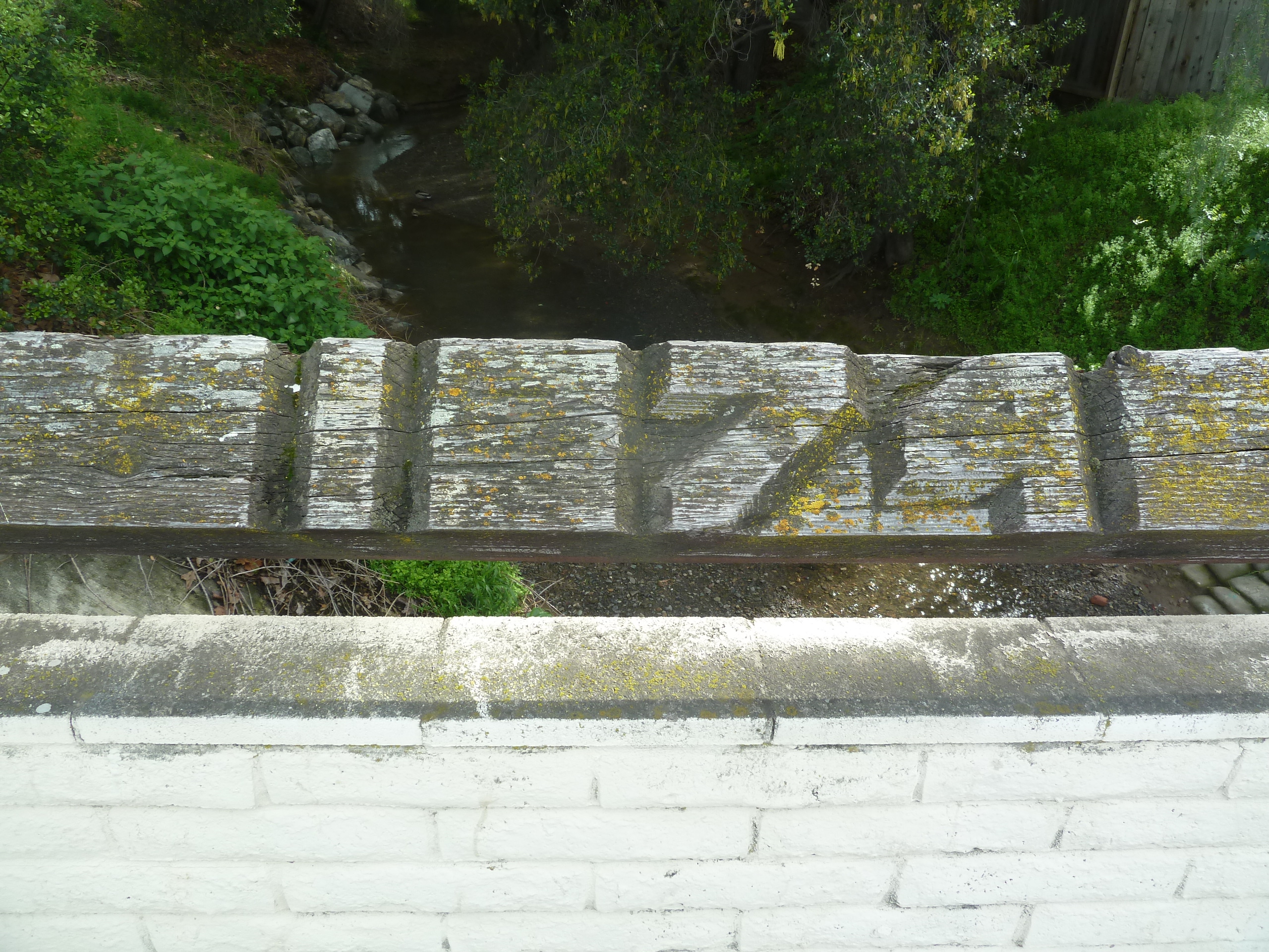 Holly Oak Elementary School would be named for the trees found along Dry Creek, renamed Thomspon Creek in 1974. Hollies wouldn’t grow all over Evergreen. There’s also a Coastal Live Oak species, which looks more similar to holly, that grows along that creek specifically. I’ve enjoyed many a bike ride through this area and have gotten scratched. There’s also a shrub species, Heteromeles, which is also knicknamed California Holly that I certain recognize around Evergreen. Maybe these two tag teamed the Thompson Creek creating a Holly Oak grove. Or it’s something completely different. Holly would also have another meaning like Hollywood. Holly would mean magical. Either these were magical oaks or these were holly-like oaks. John Aborn would’ve pioneered this neighborhood and raised his daughter here, advocating for the rights of homesteaders and a defendant of Chaboyas.
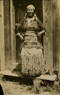
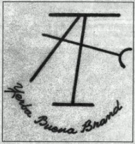
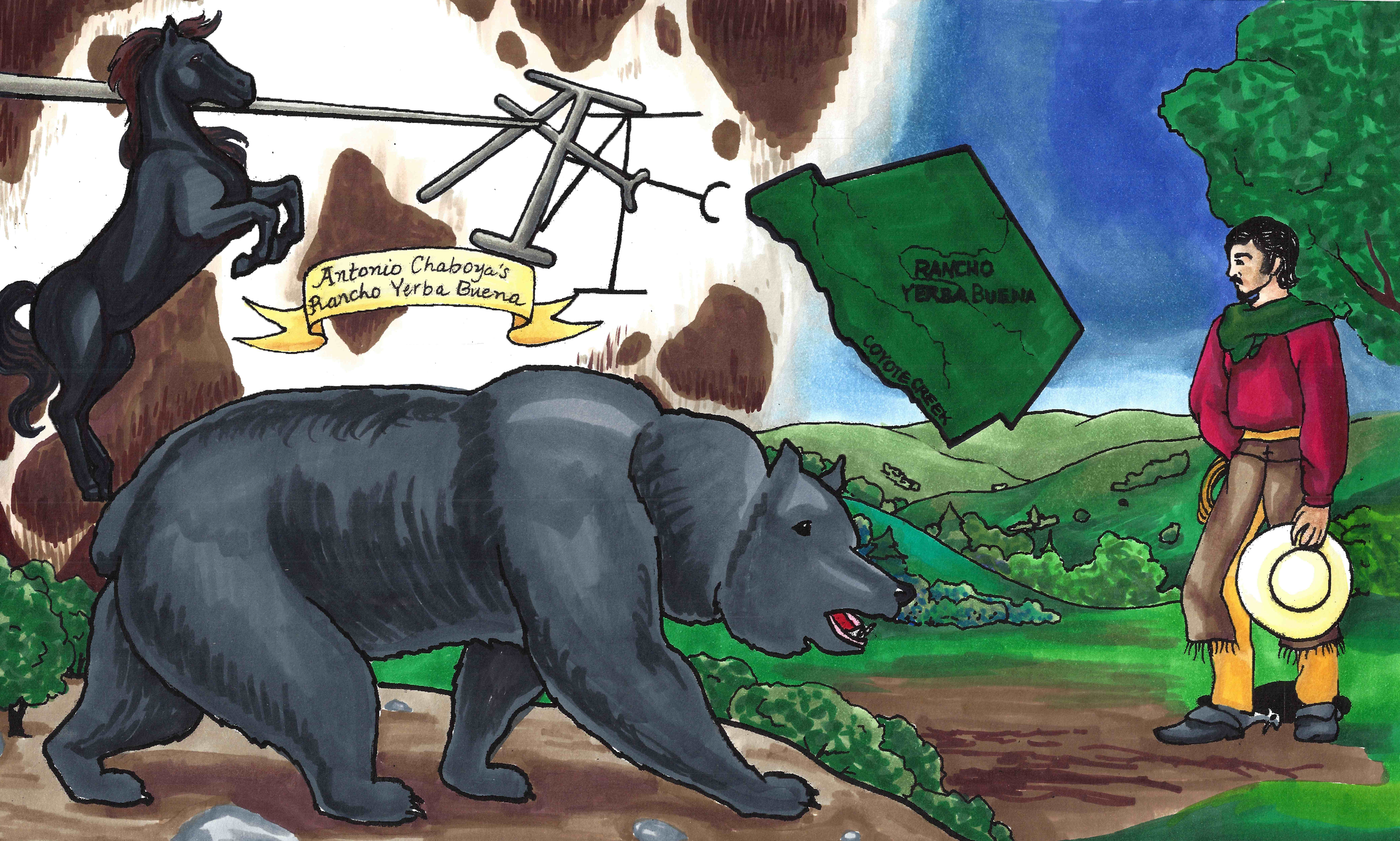
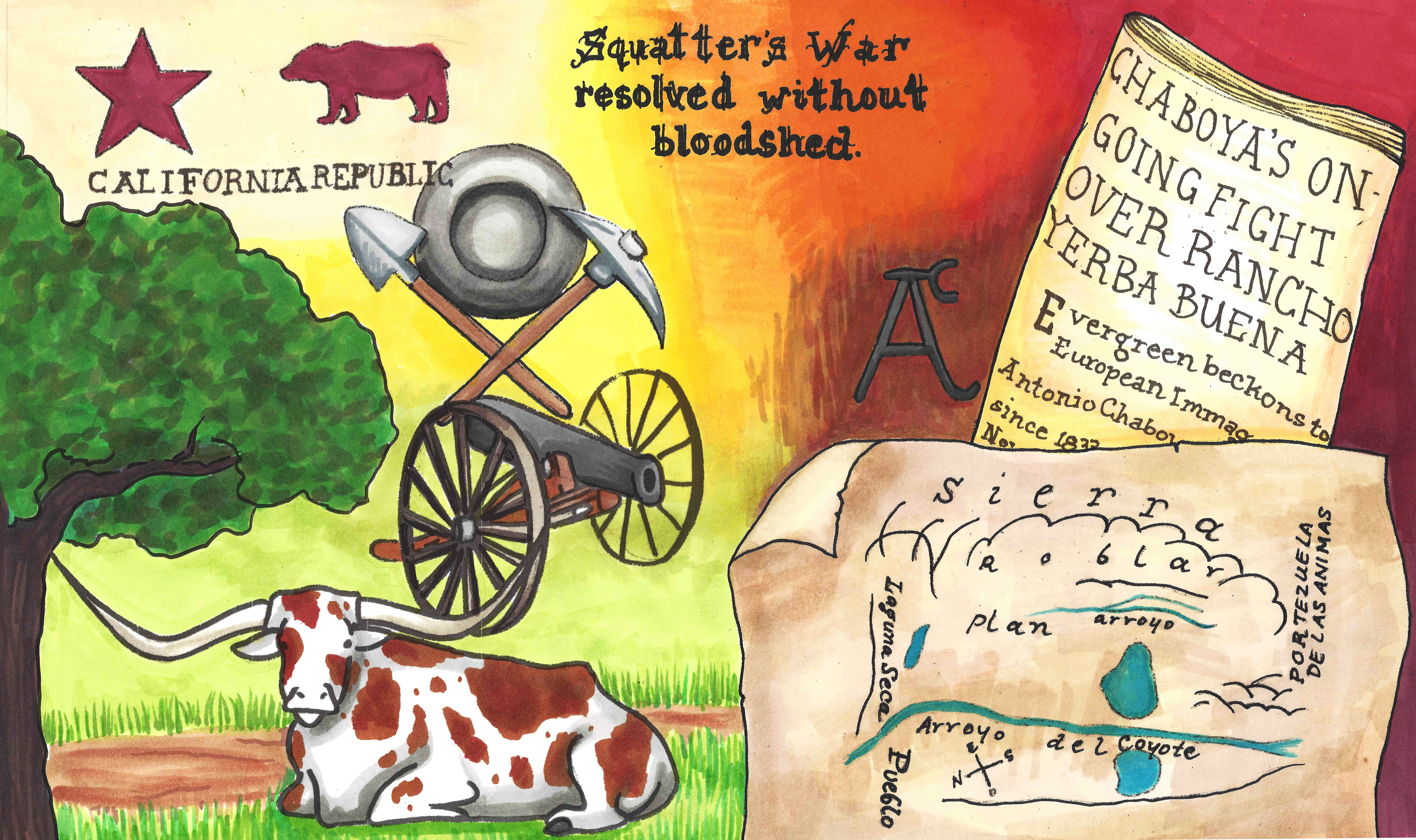
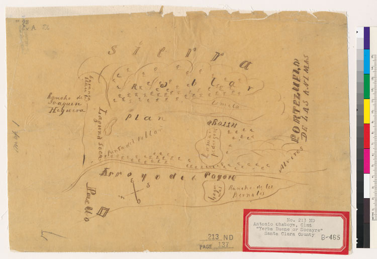
 The varieties of oaks themselves are evergreen, so it’s only natural so the name is only natural. Evergreen hosts a number of species. “Blue Oak” Natural Reserve is tucked away beyond Joseph Grant Park to observe one of our species. Valley Oak with distinctive leaves would prefer lower elevations of Evergreen. Creeks and natural springs kept grass alive on the hillsides year round. Chaboya’s cattle ranching business wouldn’t have changed a lot of Evergreen’s landscape. With so many green trees, and rolling grasslands, the place begged the name. The word “evergreen” simply meant green all year round. In fact, Antonio Chaboya would mark Rancho Yerba Buena boundaries using cattle brand and the oak trees.
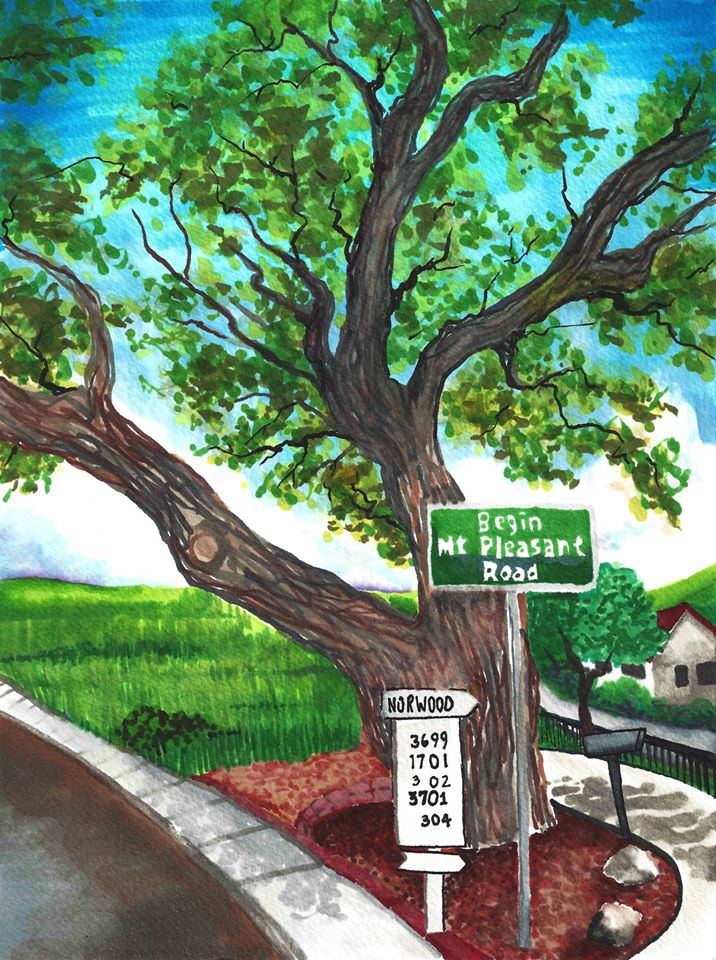
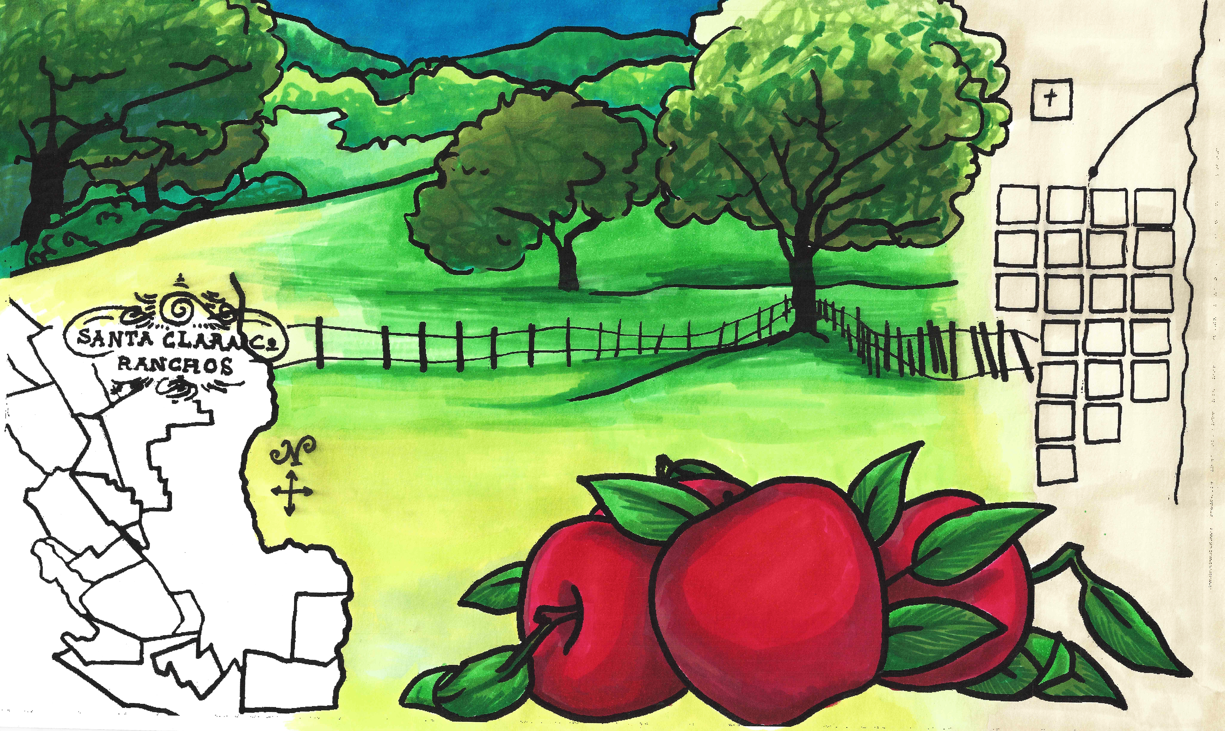
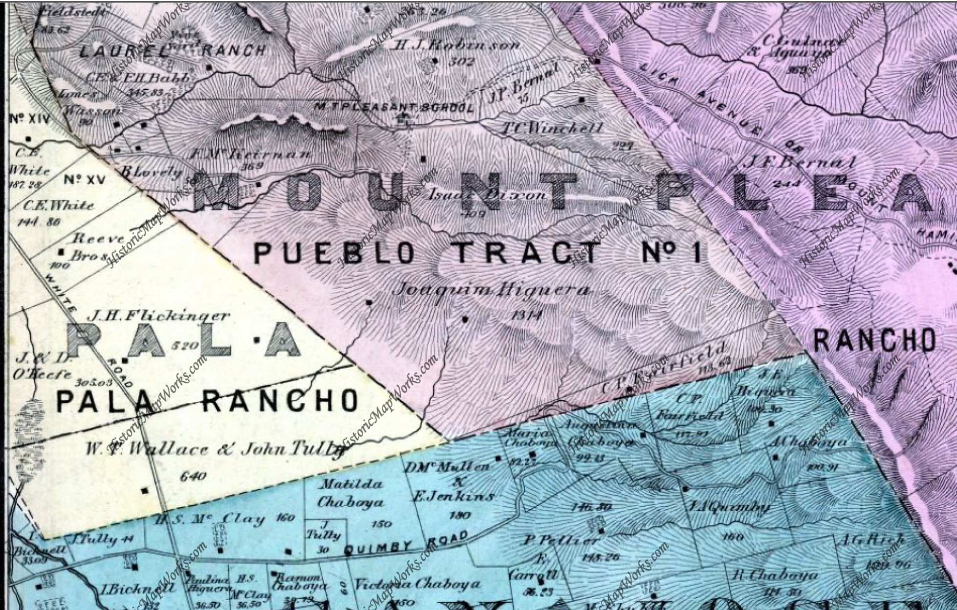 The Norwood neighborhood would get its name from Northern woods in the township of Evergreen. The map to the left predates the avenue, however the avenue exists along this Green border. It’s no coincidence. The Norwood and Quimby Creeks would keep this area heavily wooded, and that element can still be felt there today. This hillside would’ve been cleared for orchards or vineyards in the mid 1800’s. I’ve gone on many drives to connect with Evergreen, one of them through this neighborhood, and our oak groves are a continued point of inspiration.
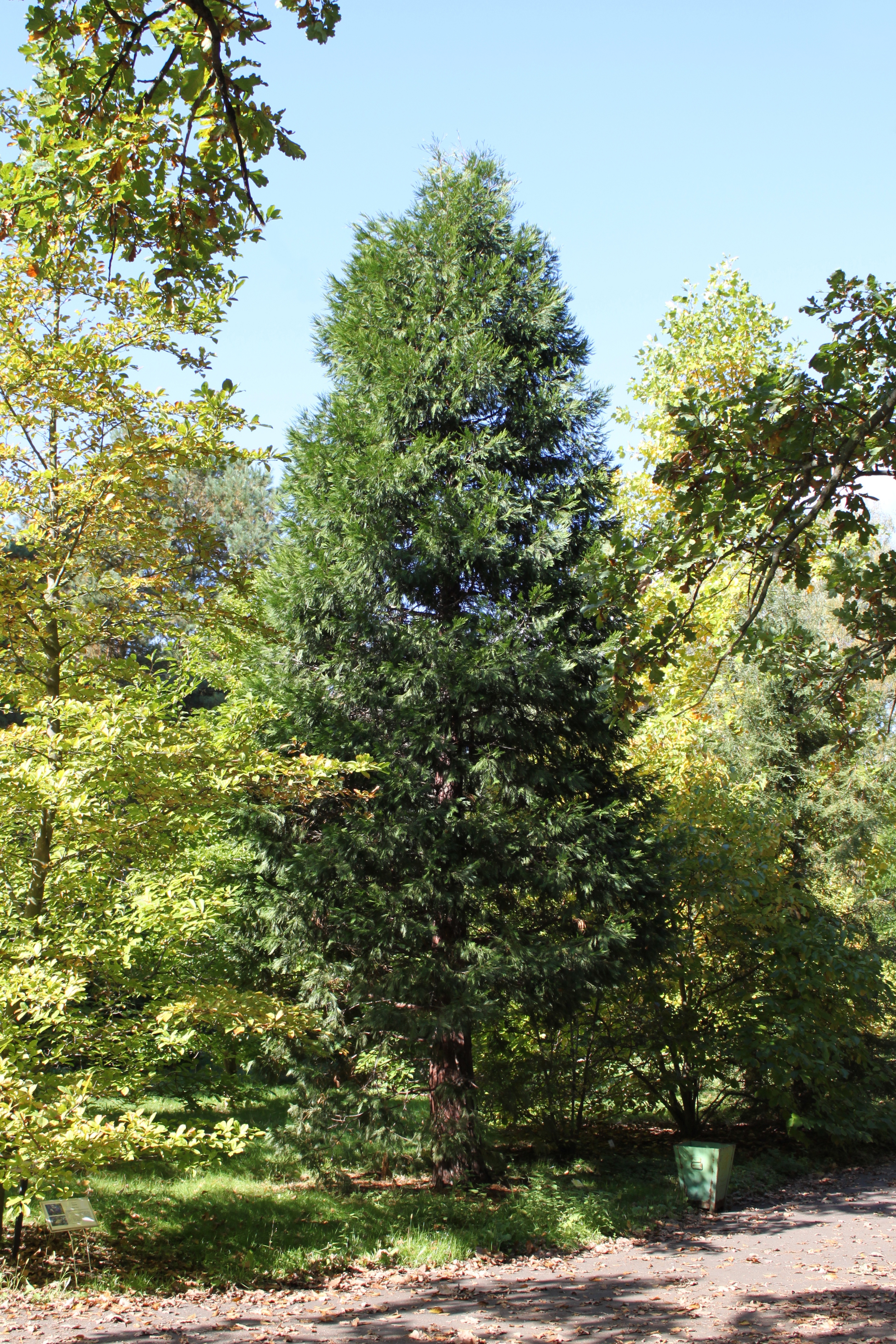
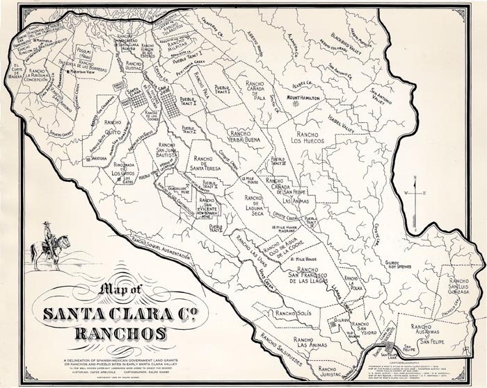
 Cedar Grove Elementary was named for a natural grove of cedar trees. California Cedar, or Incense Cedar, could have been indigenous to Evergreen and this Northern wooded area. That’s this one on the right. This coniferous cedar grove would’ve been a part of this larger forest known as Norwood. If it’s indigenous, it was a natural boundary for cattle herding and for the Ranch of Yerba Buena, you can see it on the Chaboya map.
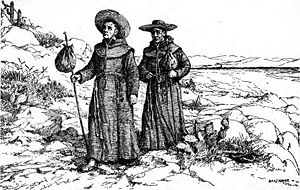
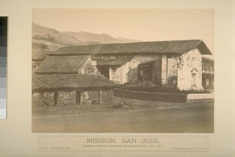
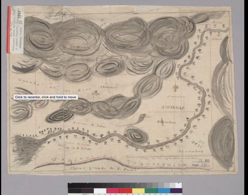 Cedars could’ve been planted along San Felipe Road to provide shade through this area when Spanish settlers founded Mission San Jose in 1797 and possible when Mission Santa Clara was founded in 1777. You can see them on the San Felipe route in the old map here and ought to be this area with doubled up trees. Cedar Grove may have been planted as early as 1821 by the Chaboya family to reinforce the border between Yerba Buena and neighboring ranchos or pueblo lands that eventually turned into East San Jose. In the 1800’s, this would have been a popular source of lumber for building. Norwood Avenue would be established between 1876 and 1899.
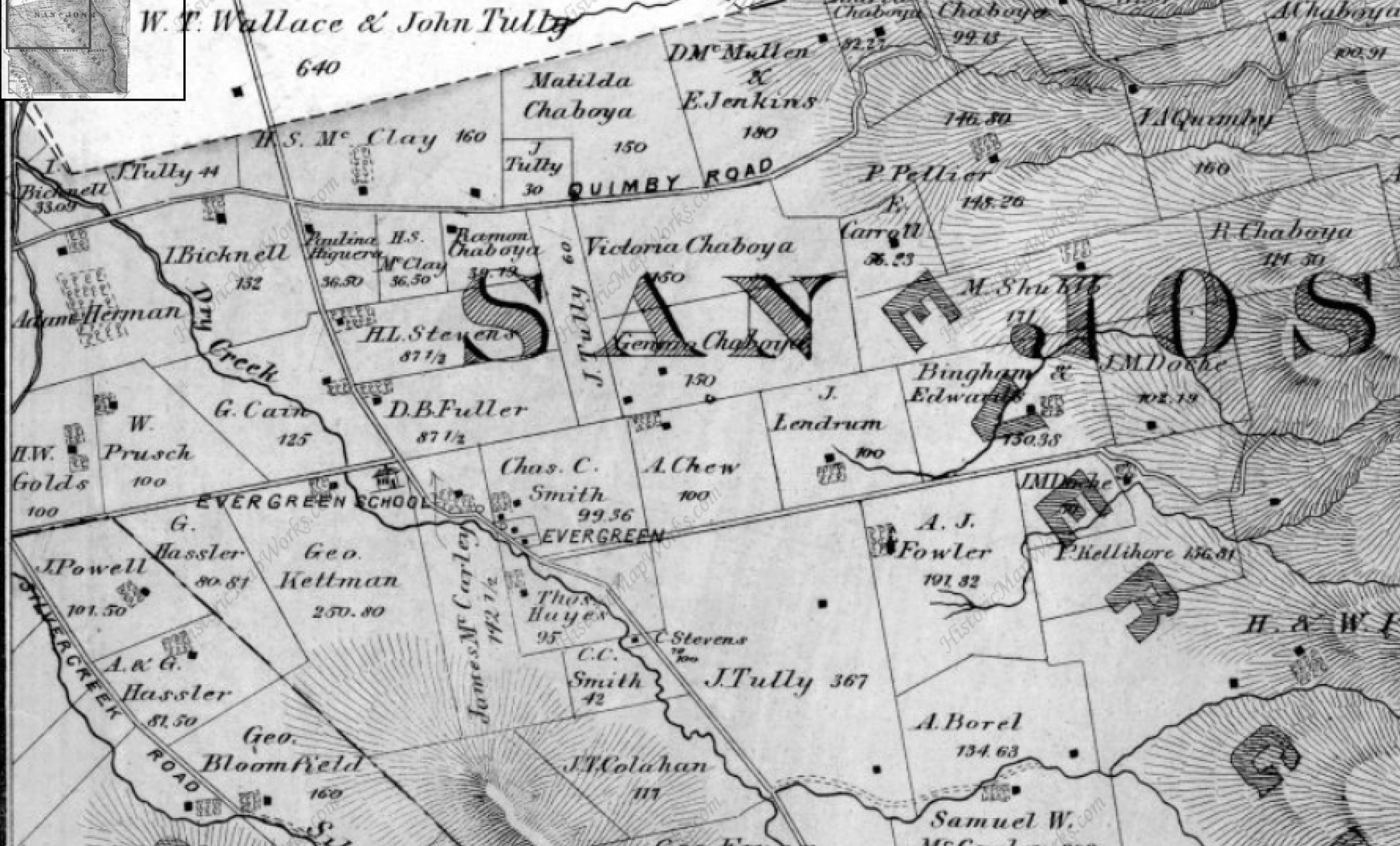
 Cedar Grove Elementary appears to be located in this John Tully property, once jointly owned in partnership with Wallace engaged in the lumber business in 1876 found at the top corner of this map. It’s quite possible the Tully & Wallace company cut the grove down, build their homes and made way for orchards fed by the natural creek nearby. These are cedars seen is Alfred Chew’s front yard.
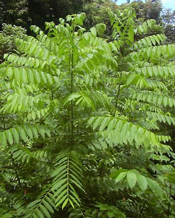 However, looking at all the varieties of cedar trees to find the origin of Cedar Grove’s name, there’s cedar all around us in Evergreen. I never realized how often it pops up now that I know the difference. I think this is a cedar in my own front yard. Seen here to the left, this cedar tree is a staple of Evergreen today. Cedrela or Cigar Box Cedar species is all over the Evergreen Community today as a decorative tree, especially this neighborhood surrounding the school. This species was native to Mexico, so it is not beyond the realm of imagination that these trees came with the Mexican or Spanish Empires. They’re drought resistant so they’re widely used in landscaping today.
 Laurelwood Elementary School would be named after a natural bed of Laurel trees. Coastal Bay Laurel, Umbellularia californica, would be prevalent in the Santa Cruz Mountains, but huge laurel groves would cover this area too thousands of years ago. A climate change would shift that evolution and laurels would recede and make way for our oak groves. This event took place all over the world in laurel forests in Mediterranean and subtropical climates. Laurels are most notably the leafy thing behind the ears of many Greek and Roman statues. I hadn’t realized laurel trees and the avocado were relative plants. If a wood or forest of laurels existed in Evergreen in the 1800’s, it would certainly be notable. Today, laurel shrubs and trees can be found on the school’s campus. Some of these shrubs around Thompson Creek behind the school would appear to be flowering, blossoming laurel bushes.
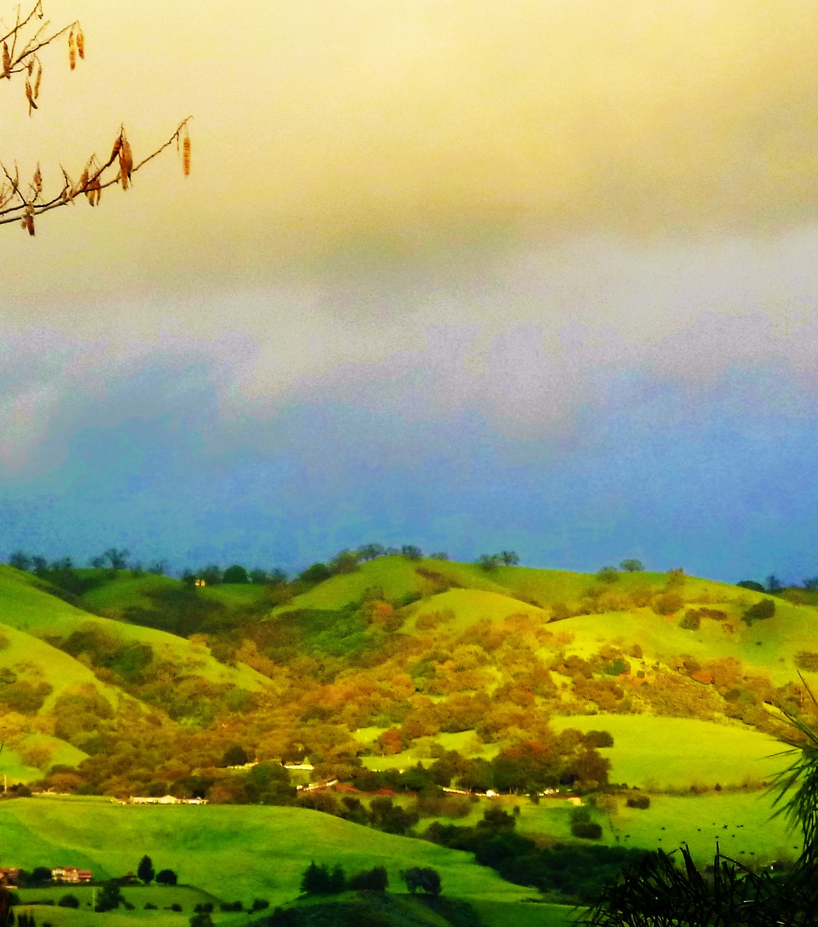
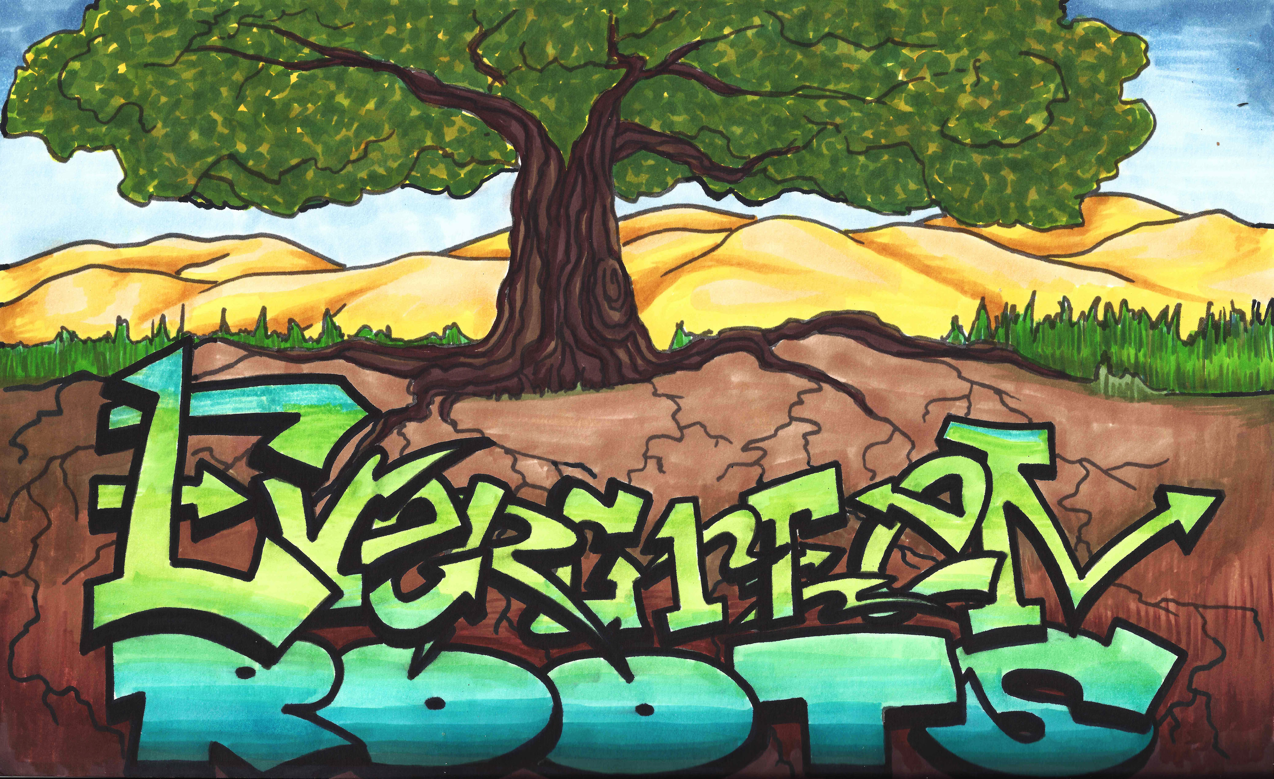
 Beyond that, trees and varieties continue to inspire the naming of streets and neighborhoods. “Glen” and “dale” all refer to clusters of trees. That’s right. Willow Glen was named for a cluster of Willow trees, also a township founded approximately the same time as Evergreen. Evergreen was named for its out of world beauty and would draw tourists to its trees. The Creeks created these groves, but would later empty into the orchards’ and farms’ irrigation systems. Before that, Lake Cunningham, then Silver Lake, would flood into creek beds. This would continue to be a problem for the Evergreen Township, but a win fall for the trees. If you’re ever curious about the name “Evergreen”, just take a drive through the hills. You’ll get lost in the natural wonder in your backyard. To say our roots are Evergreen is an understatement.
 Recommended Routes for unspoiled beauty:
Silver Creek Valley Road, park at the shopping center and take a little walk.
San Felipe Road, make a right on Silver Creek Road, notice the awesome Silver Creek and its wicked silvery oaks
Follow Quimby Road until its windy, it quickly becomes stunning and natural
From Murrillo Avenue, make a right onto Chaboya Road, the Sikh Temple is beautiful but just beyond are rustic barns shaded by hundreds year old oaks
Follow Tully Road until its windy, it quickly becomes stunning and natural with excellent farms and oak land to see