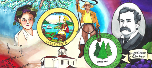
In looking for Mayor John A. Quimby of Evergreen and San Jose, this interesting tid bit fell out of a family tree. If I can find the author, I would love to get you more information on this stellar, little-known character. In hopes that this was the origin of the McClay family along Norwood Avenue, I read on. Though I couldn’t make that connection through the family tree, how this one time Florida Sherriff came to California during tensions that eventually led up to the American Civil War was fascinating. This author, whomever it is, is detailed and follows land purchases into Evergreen. Daniel McCray’s path would cross with Evergreen’s Farnsworth Family, Metzger family, and intimately with the Cottle Family. It’s a wonderful piece of forgotten Evergreen history.
*SPECIAL STUDENT NOTE: There is language that is quoted directly from the time that may be alarming. If you are upset, please discuss this with an adult.
Notes for Daniel McCray:
DANIEL AND MALINDA (McCROSKEY) McCRAY
of SANTA CLARA COUNTY, CALIFORNIA
1852 to 1873
by Norman McCray Scofield
DANIEL McCRAY, born 1811 in Washington County, Tennessee, near Jonesboro, spent his first sixteen years in that area. His grandfather Daniel had emigrated about 1760 from Scotland, probably locating first in Maryland. He soon joined the land seekers traveling south through Virginia’s Shenandoah Valley. He married SARAH NODDING in Maryland or Virginia. At least one of their children, Henry, was born in Virginia.
By 1765 Daniel and his family had penetrated the future state of Tennessee, then the county of Washington under the jurisdiction of North Carolina county of Washington under the jurisdiction of North Carolina. Daniel served in the Revolution, his records being in North Carolina. About 1800 most of the family moved west and took up land in Williamson County, Tennessee, Henry owned a whole section of land where the City of Franklin arose later, about ten miles south of Nashville, Henry sold it for a nominal sum, and he and his father returned to Jonesboro before 1810. His brothers, Thomas, William and Elisha also returned eastward to near Madisonville, Monroe County. Henry served in the War of 1810-12 as a Captain in the First Regiment of Tennessee Militia. Three of his brothers served in the same company with him Lt. Philip, Ensign Thomas and Srgt. William.
After 1830 the young Daniel probably joined his uncles in Monroe County, where there was plenty of work, clearing fields, cultivating and building.
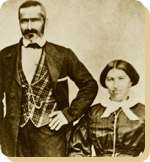
On the 17th of October 1837 Daniel and Malinda were married. Daniel moved with his new bride to Summerville Georgia, where he had secured the position of Sheriff of Chatooga County.
Daniel and Malinda spent eleven years in Summerville and had five children. In 1848 they returned to the homestead on Fork Creek near Madisonville with Mary Lucinda ten, Julia F., three, their only surviving children. Franklin P. was born in January of 1849 in Monroe County. Through 1849 and ’50, Daniel’s brothers-in-law Joshua twenty two and Patrick twenty had sought permission of their father John McCroskey to join the gold rush to California. He had refused, pointing out the hazards and the uncertainty of success in gaining easy fortunes.
During these two years, Daniel must have been weighing in his mind the realities he knew in Tennessee, of small rock bound valleys and sharp climate, against the overblown reports of gold fortunes in California and its reported wide, flat, fertile valleys and moderate climate. Springing from a line of land seeking forebears the California lands must have been predominate in his thinking although the gold find was one of the wonders of the world and deserved at least an inspection.
It is also possible that one could sense in 1850 the gathering differences between the North and South over the slavery question. Although grandfather Daniel had owned one or two slaves, and father Henry one, they were concerned for their welfare. This is evident in grandfather Daniel’s will of 1818 “…that my negro man Alick shall have the choosing of his own master and misstress amongst my children and they shall not sell or run him out of the county.”
Daniel must have thrown his support to the California trip, because early in 1851, before the birth of his son Victor on the 16th of September, Daniel with a young friend ROBERT W. GRUBB (his future son-in-law), Joshua and Patrick McCroskey travelled by stage and rail to New York where they took passage on a steamer plying to the Isthmus of Panama and thence by local boat up the Chargres River as far as it was navigable. From there they walked across the Isthmus with their belongings on their backs to Panama City. On the ship from New York they had been crowded like cattle to accommodate passenger lists of two and three times normal capacity. By the time they reached the Isthmus, possibly five to ten percent of the passengers had come down with so-called yellow fever.
Many died in the primitive Indian village on the Chargres River. (See The Romance of the Age or the Discovery of Gold in California, D. Appleton, New York, 1867, a copy of which Daniel purchased in San Jose in 1867). The four men waited only two days before getting passage to San Francisco. After two days at sea Patrick sickened and died of yellow fever. He was buried at sea off Acapulco, Mexico.
Arrival in San Jose
On arrival in San Francisco, Daniel and Robert Grubb went to the gold diggings out of Sacramento while Joshua proceeded to San Jose. There he engaged in farming produce for sale in the San Francisco market, Daniel and Robert were convinced by the reports of Joshua that their forte lay in farming. They were found in San Jose in early 1852 engaged in farming, more to their liking than the hectic mine fields.
By the winter of 1856, Daniel had established the means to bring his family to California. He also probably had settled on land near San Jose that was considered Public Domain, based on the assumption that the land grants made by Spain were no longer valid when the territory was taken over by the United States.
Daniel returned to Tennessee by the route he had taken to California, leaving Robert Grubb to guard whatever property he had adquired. By April 11, 1857 the Daniel McCrays had packed their household furniture and dispatched it by sailing ship around the Horn of South America.
That afternoon they caught a train at Sweetwater, ten miles southwest of Madisonville for their trip to Charleston. The party consisted of Daniel and Malinda, aged 43 and36, Mary 19, Julia 12, Franklin 8 and Victor 6, Other members of the party were a Mr. White, Jones, Fred Graham and “Old-Ten” (Tennessee?) Weathers, possibly a relative of JOHN F. WEATHERS who was probably already farming near San Jose, their future son-in-law.
One can imagine the trip by wagon team from Oakland to Evergreen in a California May. Daniel may have acquired or built some sort of shelter on his land. Probably Robert Grubb had lived there while Daniel was in Tenneseee.
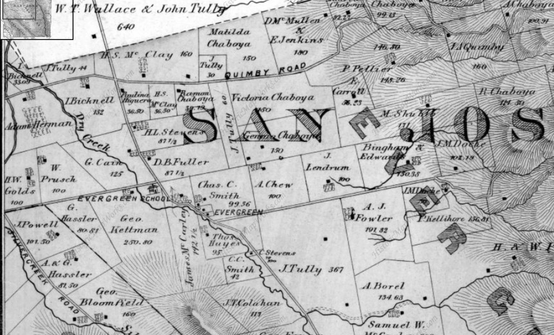
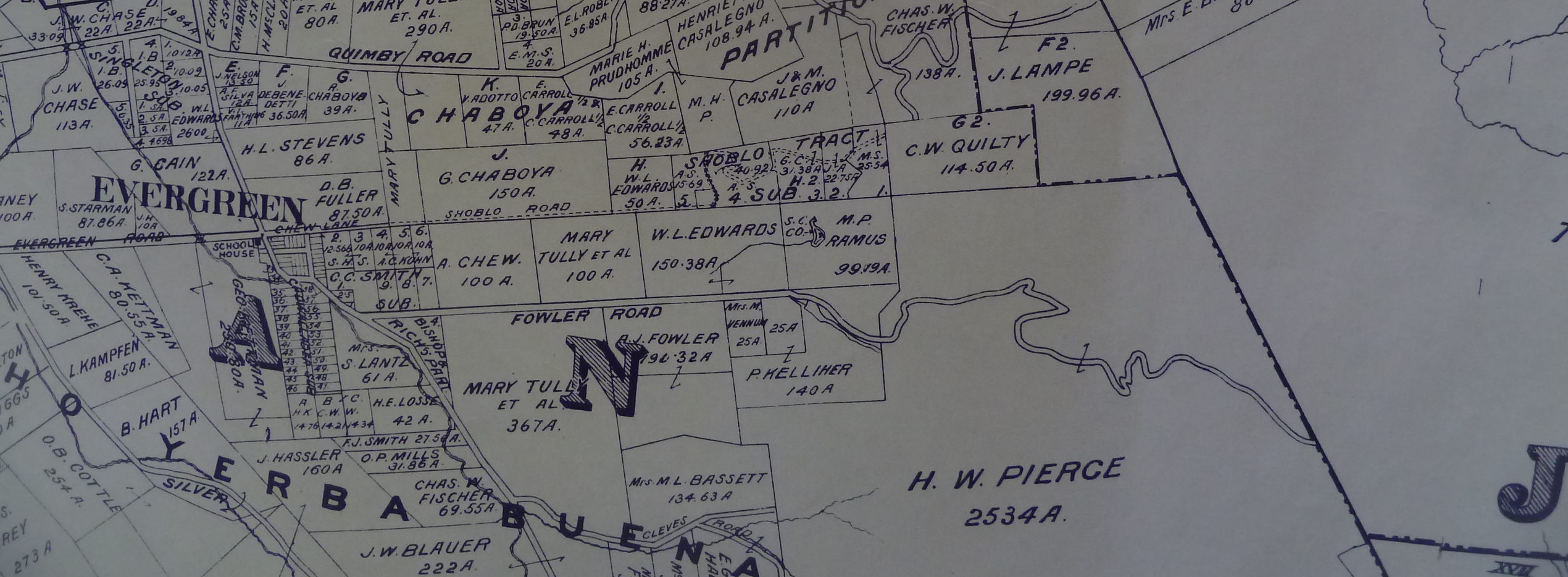
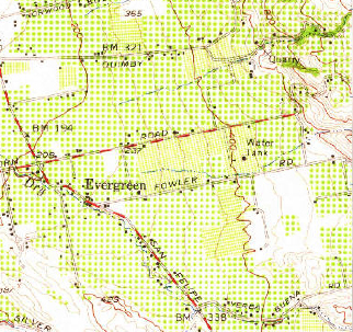
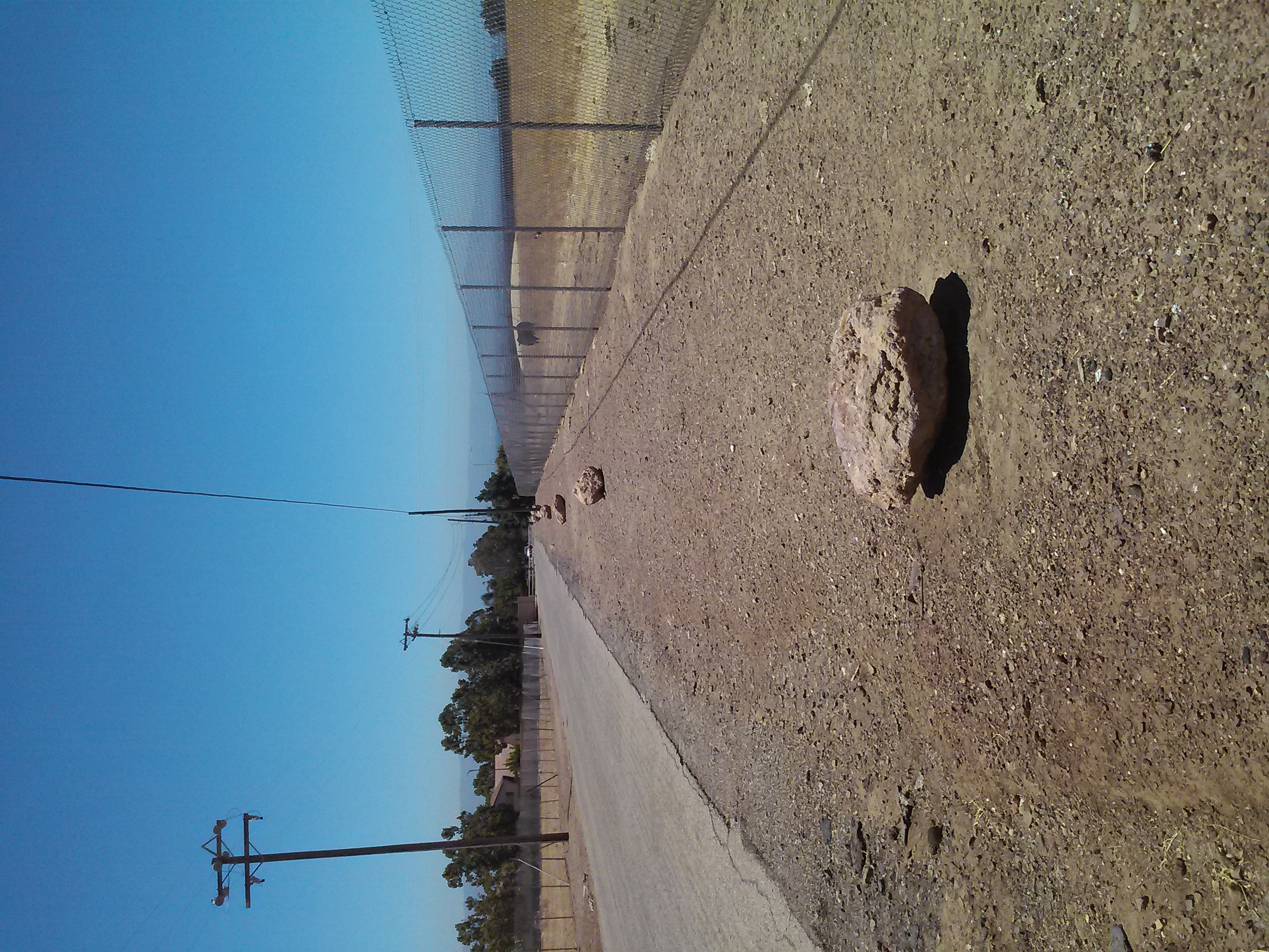
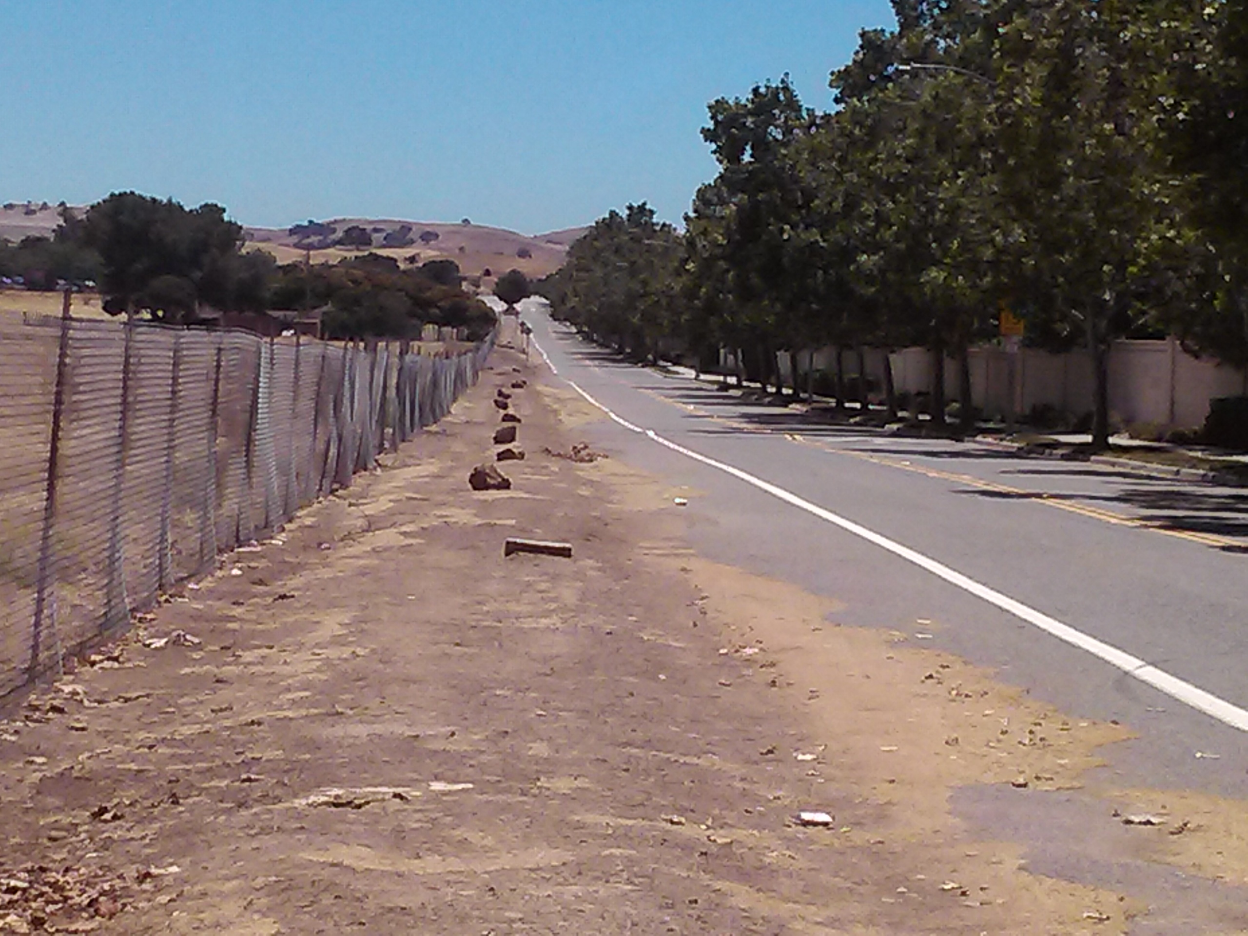
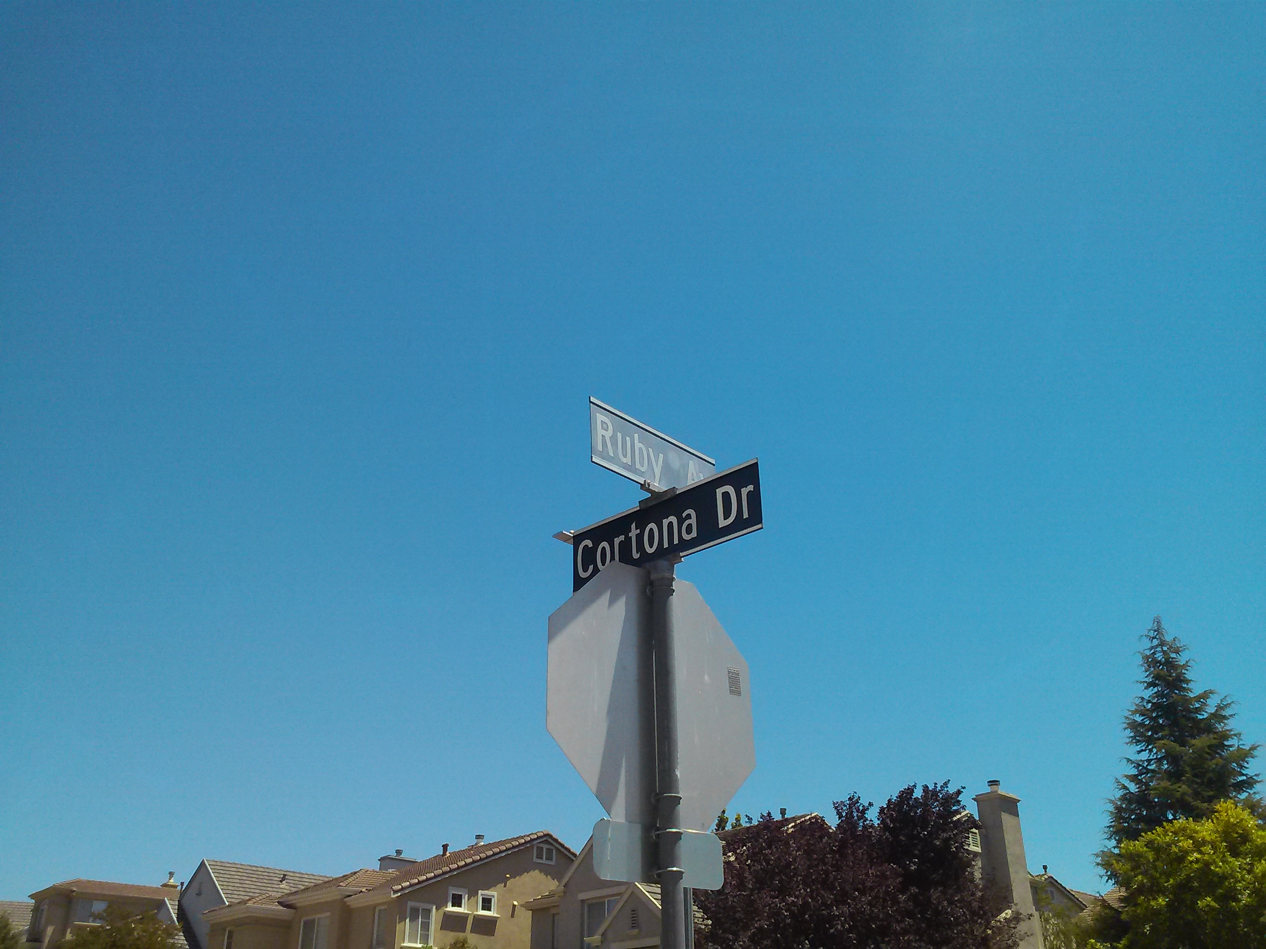
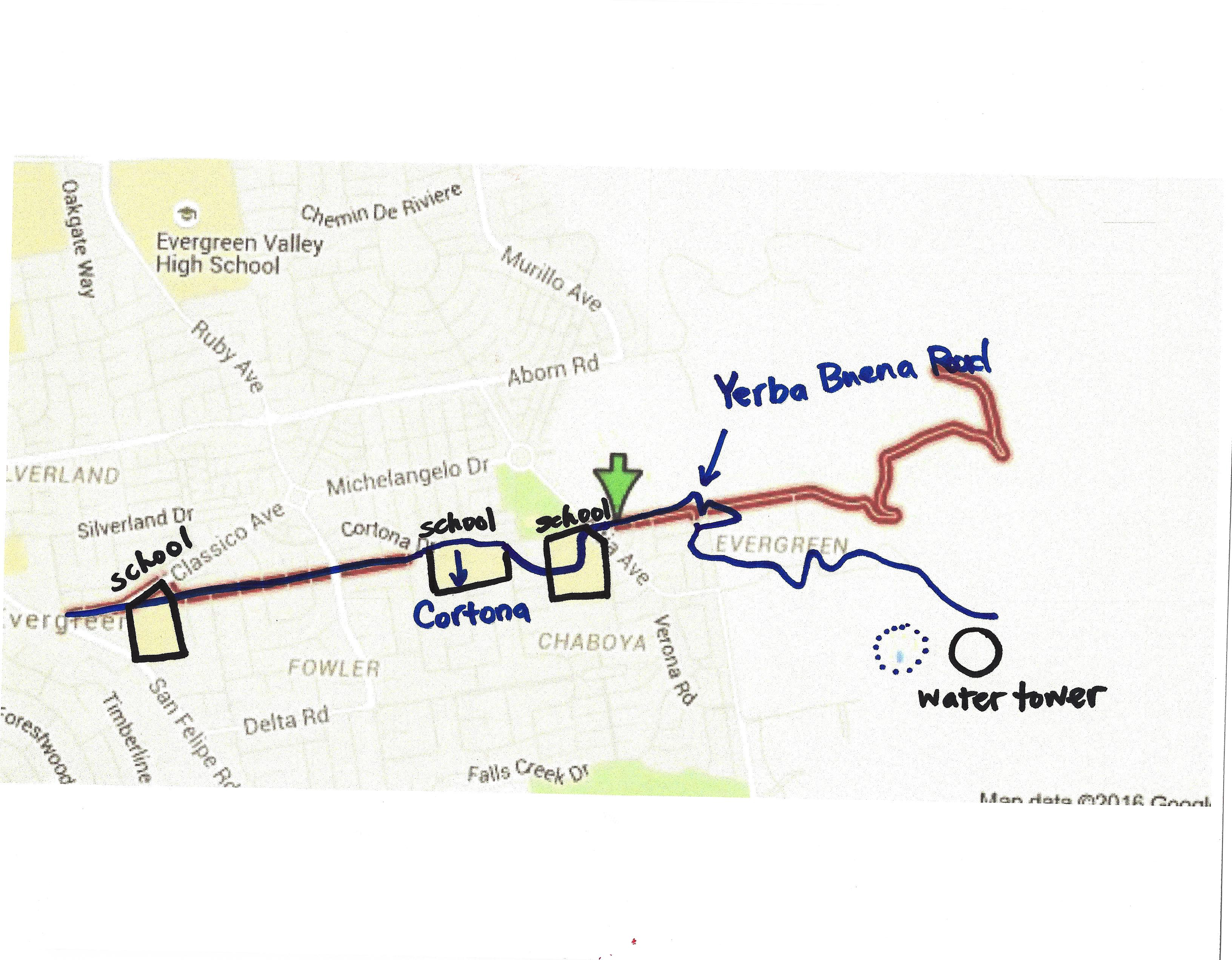
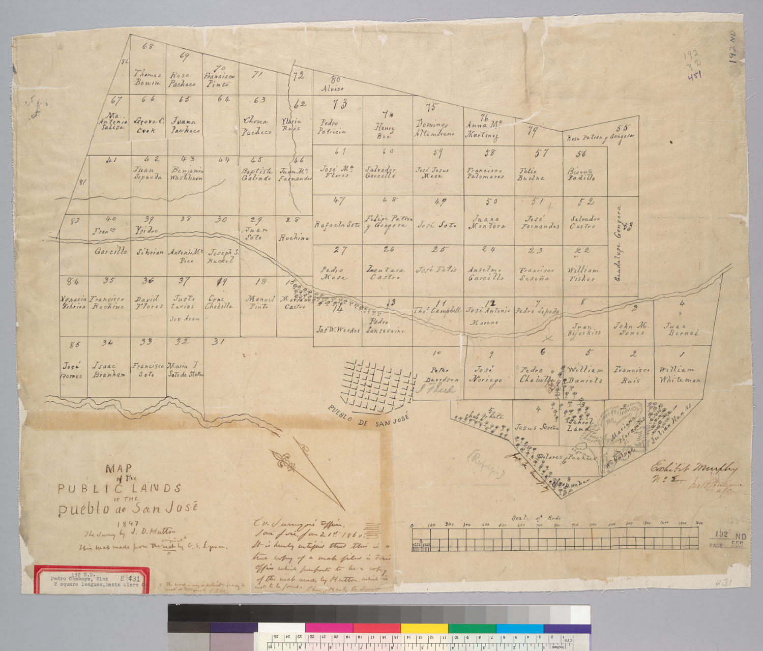
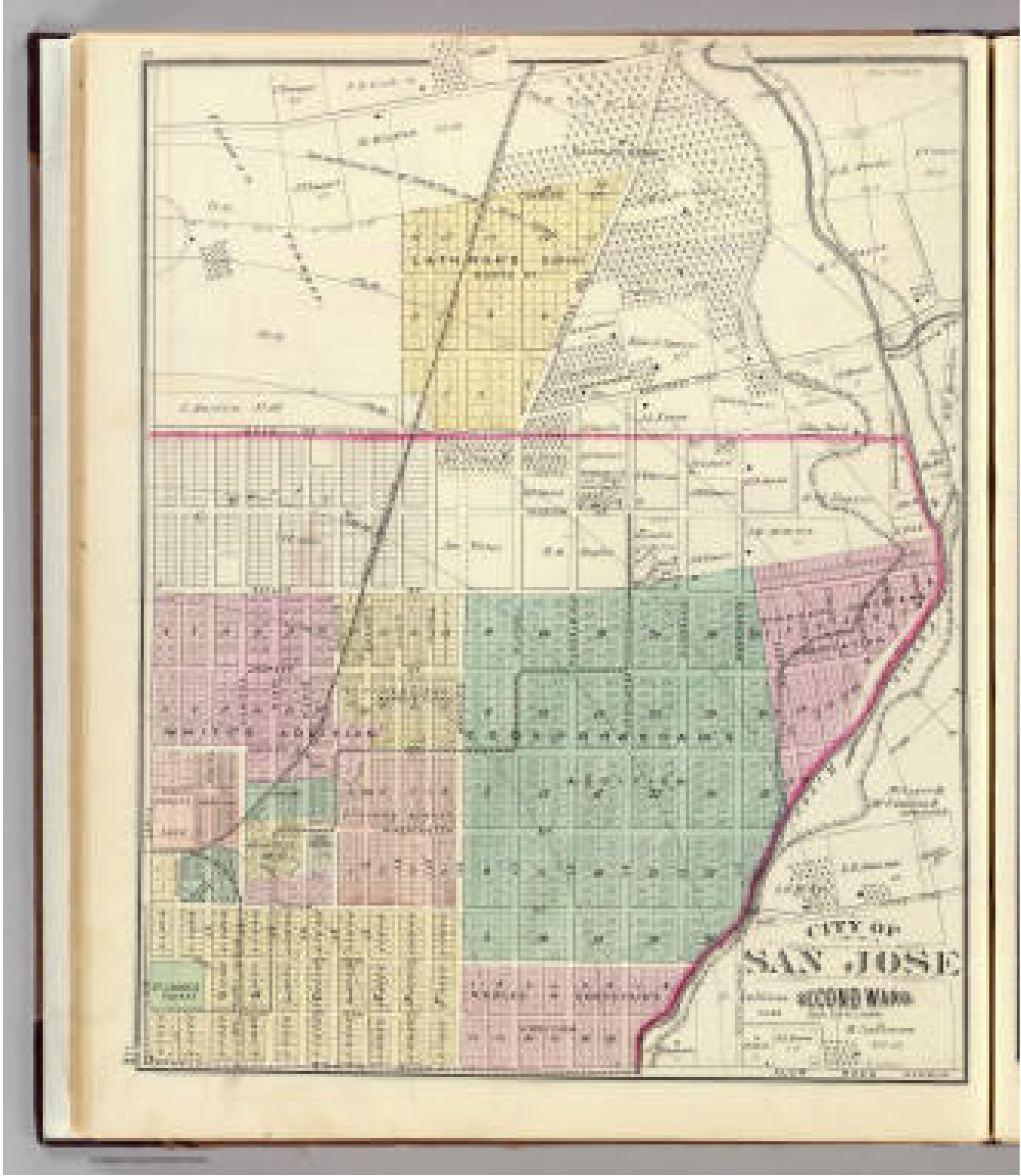
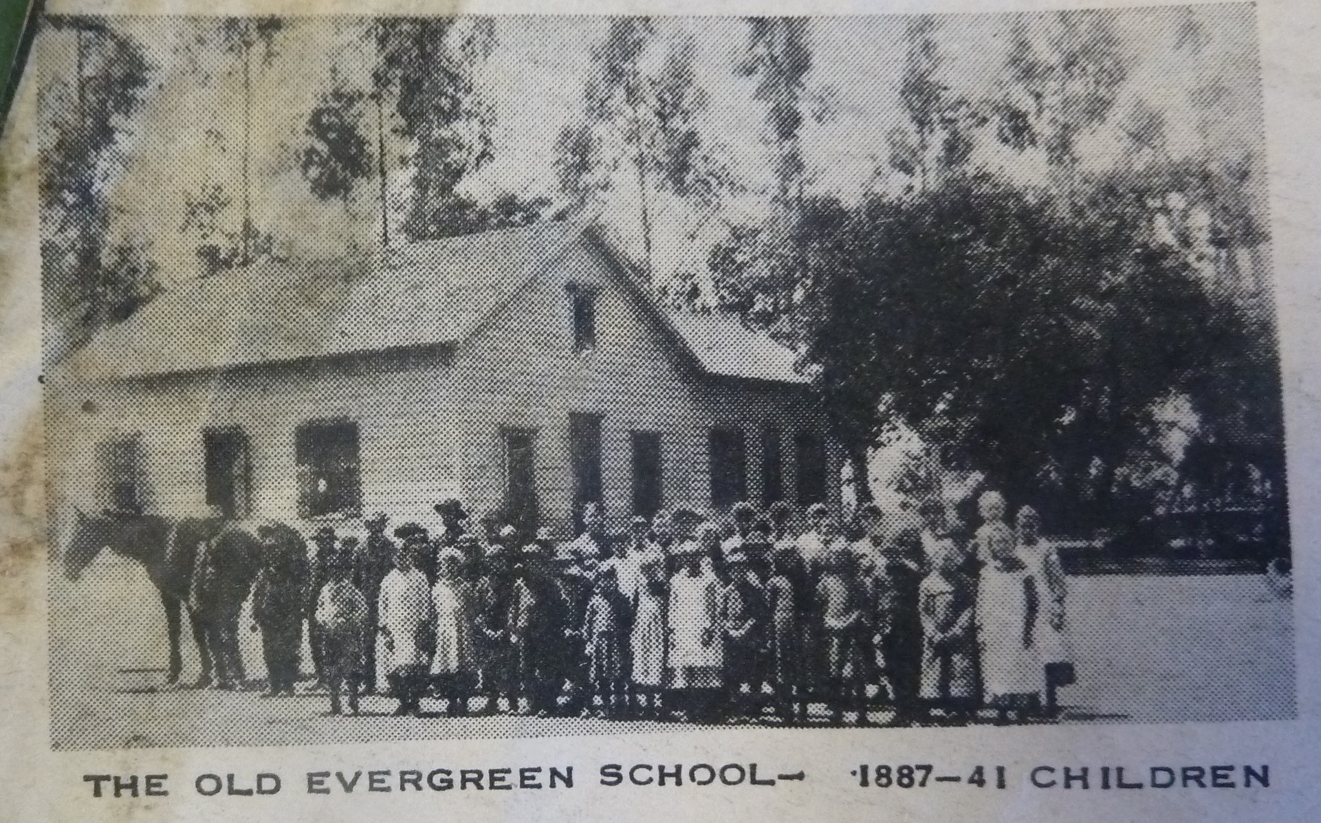
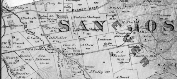
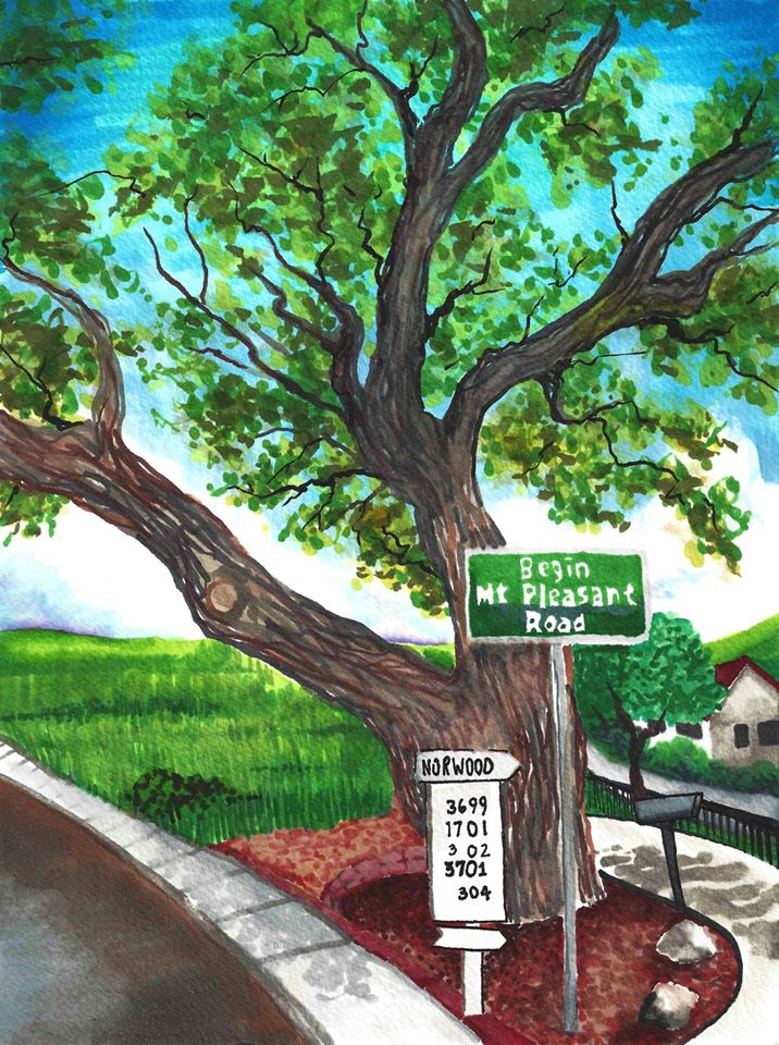
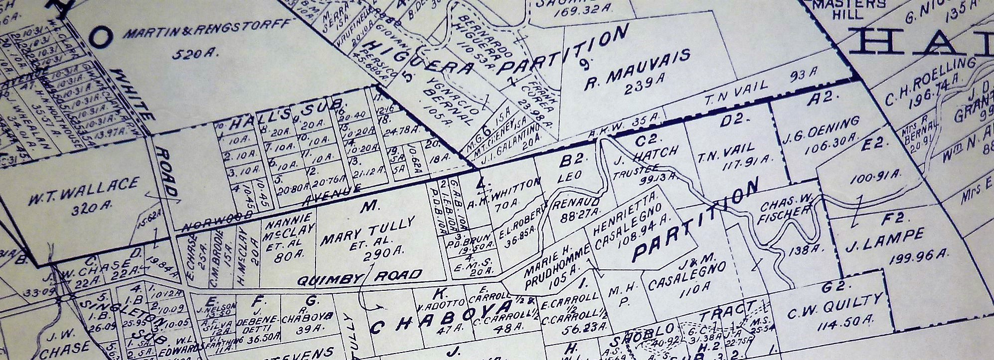
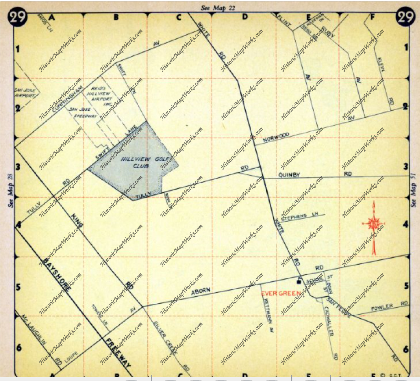
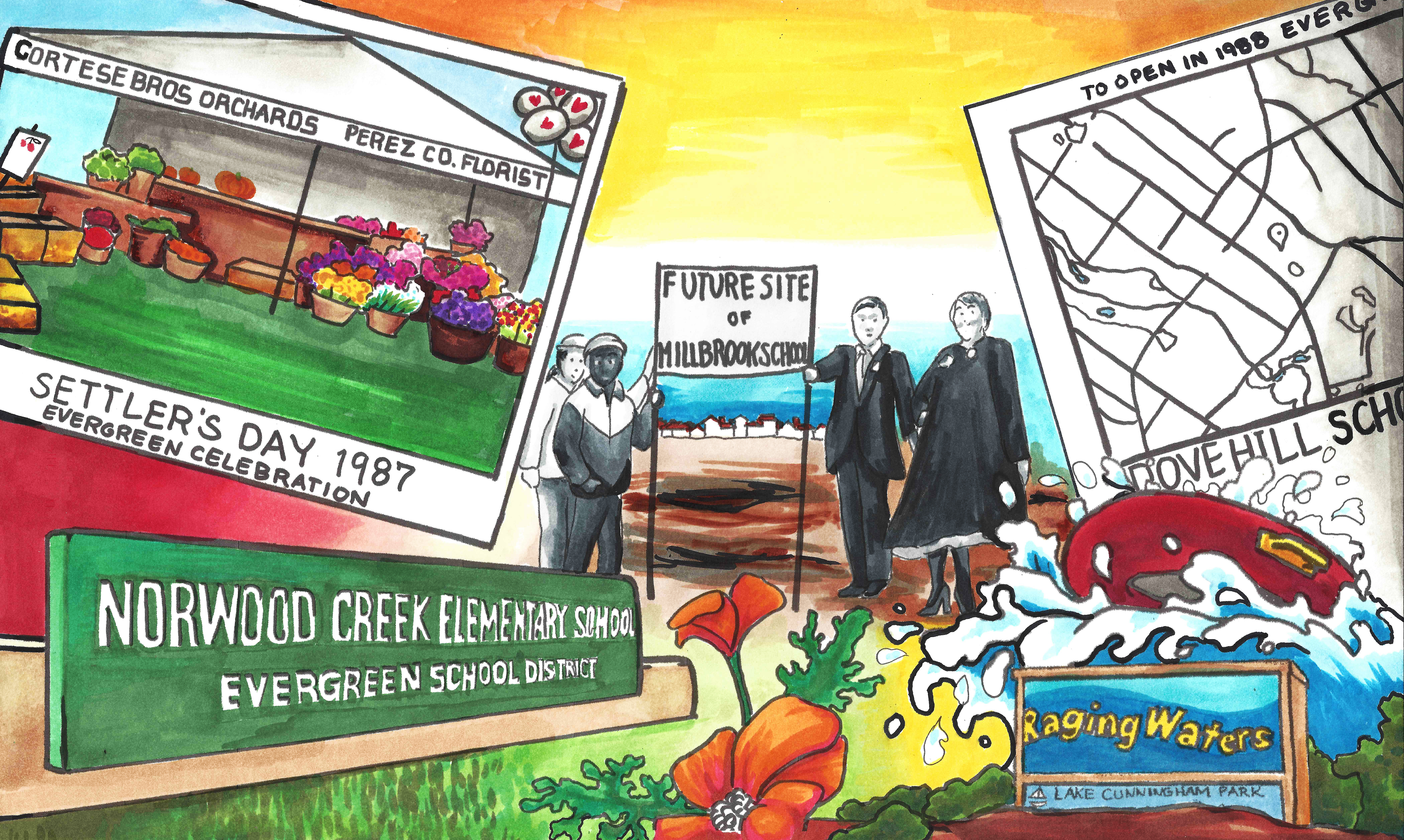
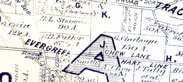
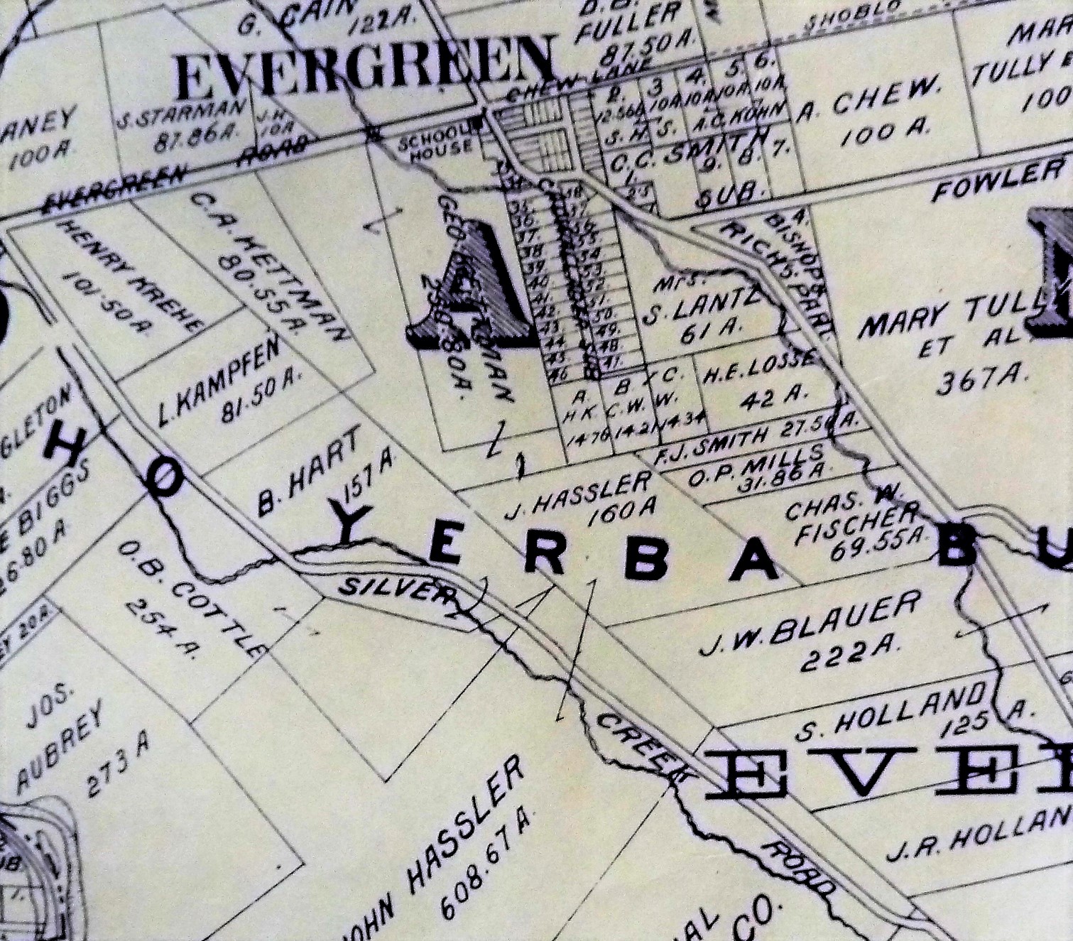
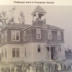
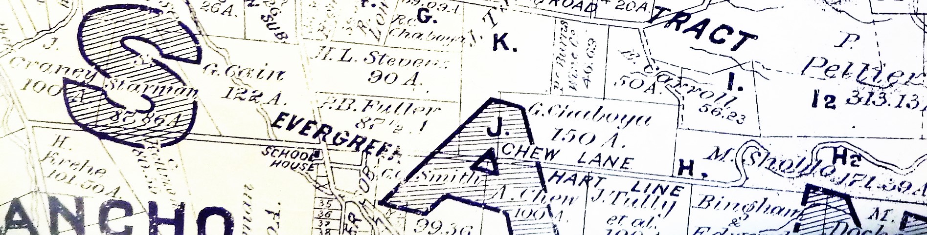
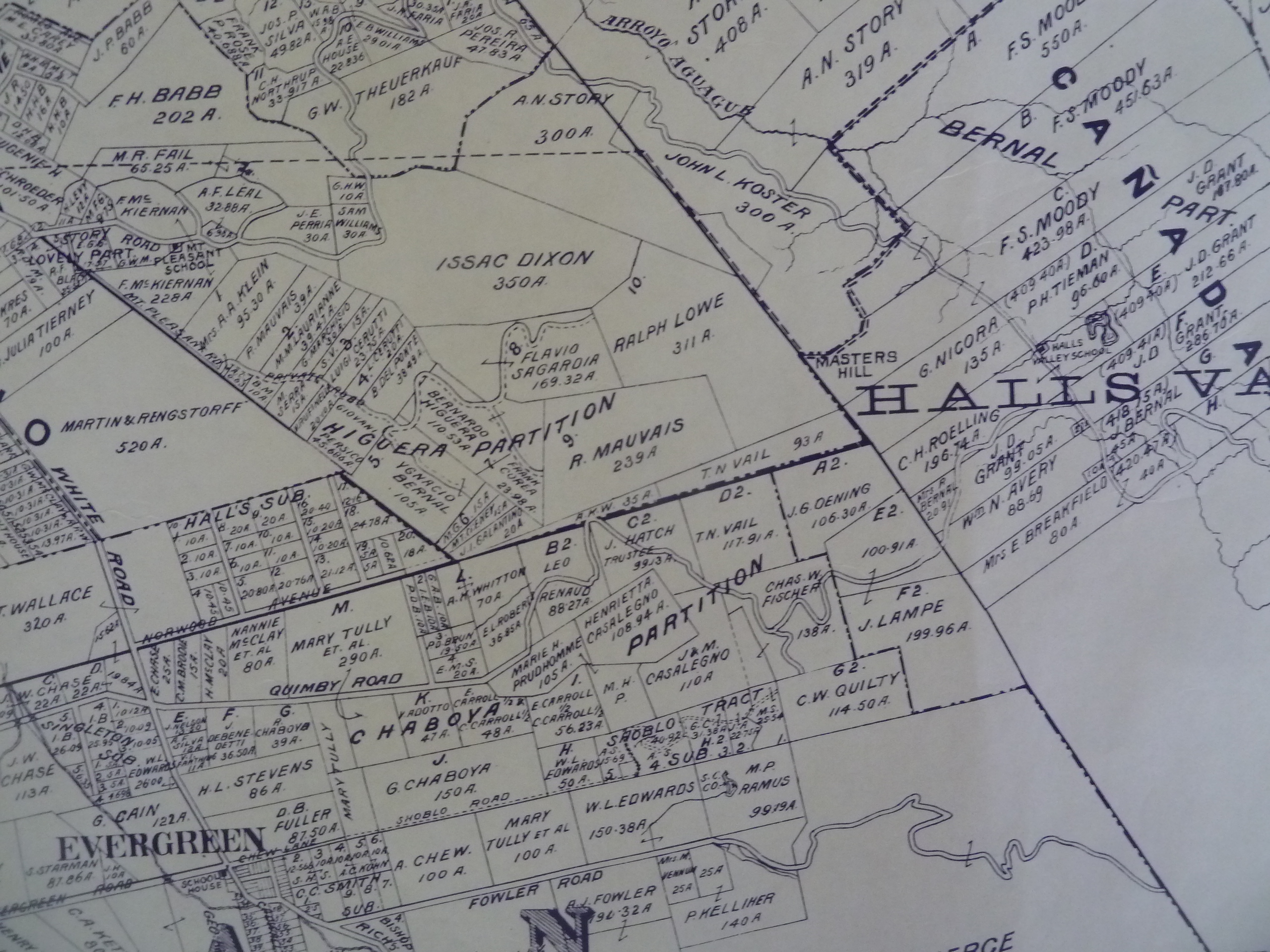
The children, Julia, Franklin and Victor, were enrolled in the Evergreen School at the junction of Evergreen (Aborn) and White Roads, two miles from their home in the east corner formed by the intersection of King and Tully Roads, then unnamed.
Mary L, McCray was married to ROBERT W. GRUBB on September 12, 1857. She was nineteen years old. They probably lived on the McCray ranch, A son Harry was born to Daniel and Melinda on December 10, 1858.
By this time the consuming topic of conversation was the validity of property titles, whether they claimed them as homesteads or had bought from earlier settlers. It began to appear that the United States Courts might uphold the legality of the land grants to appear that the United States Courts might uphold the legality of the land grants made by the Spanish monarchy or the Mexican government.
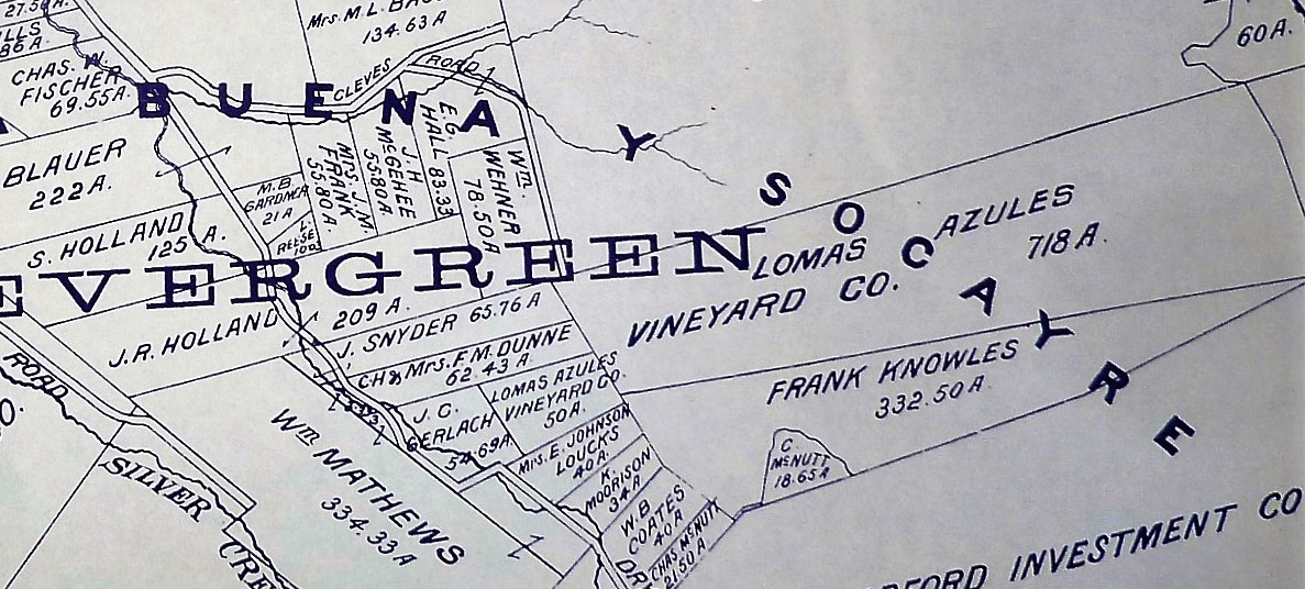
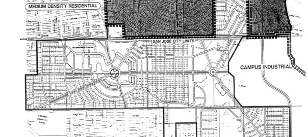
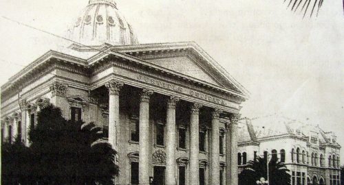
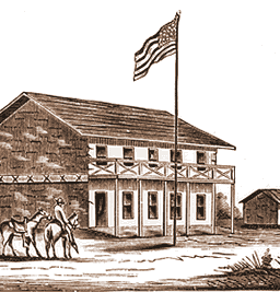
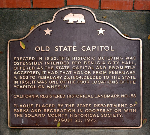
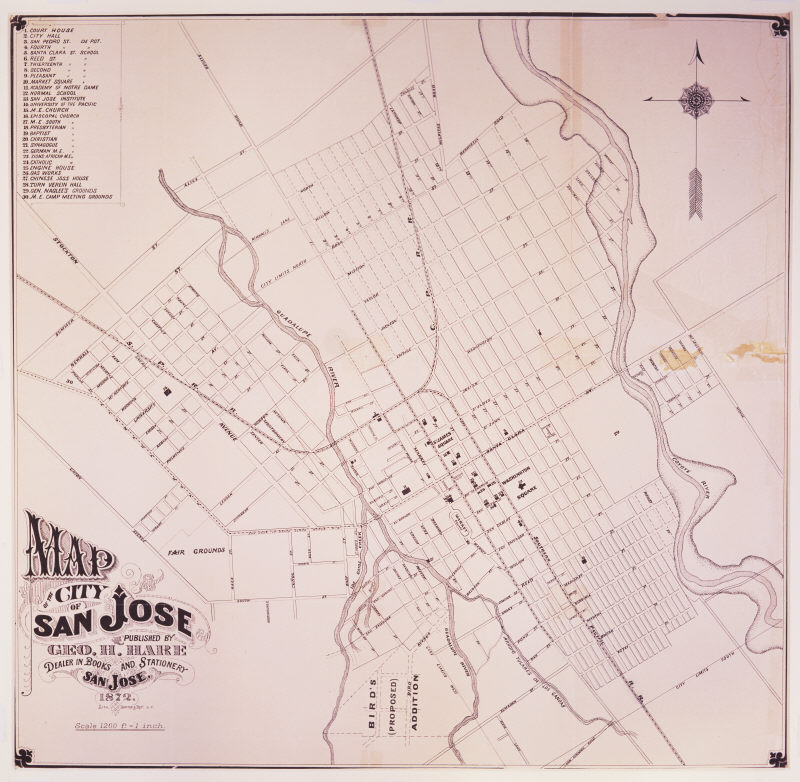
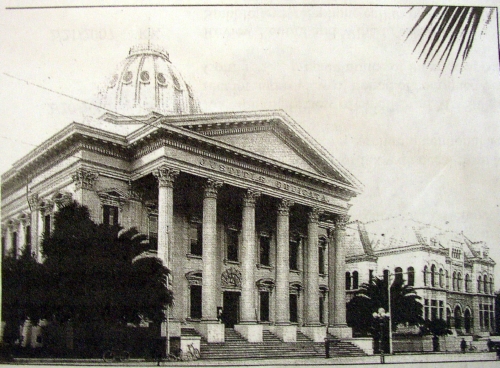
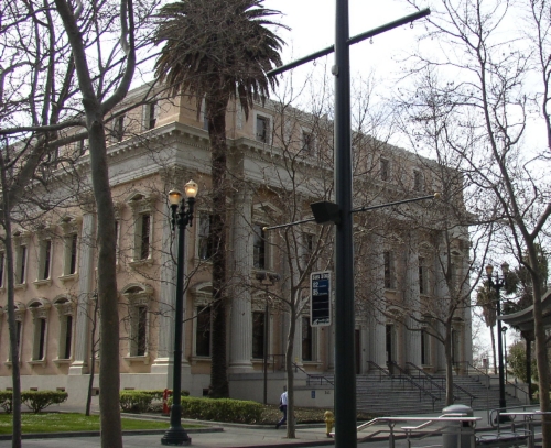
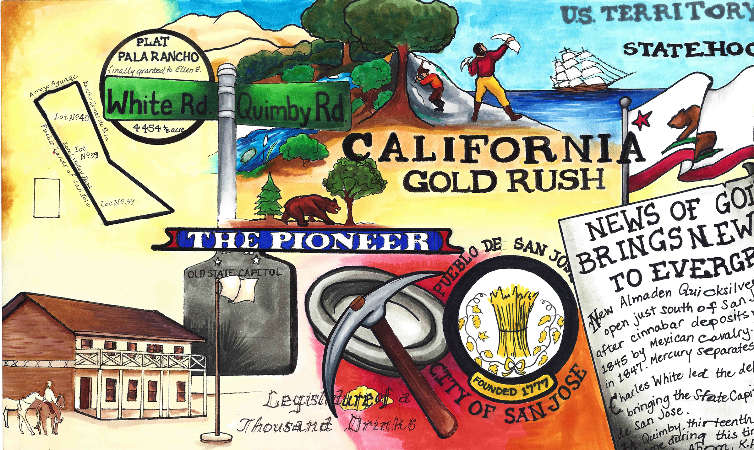
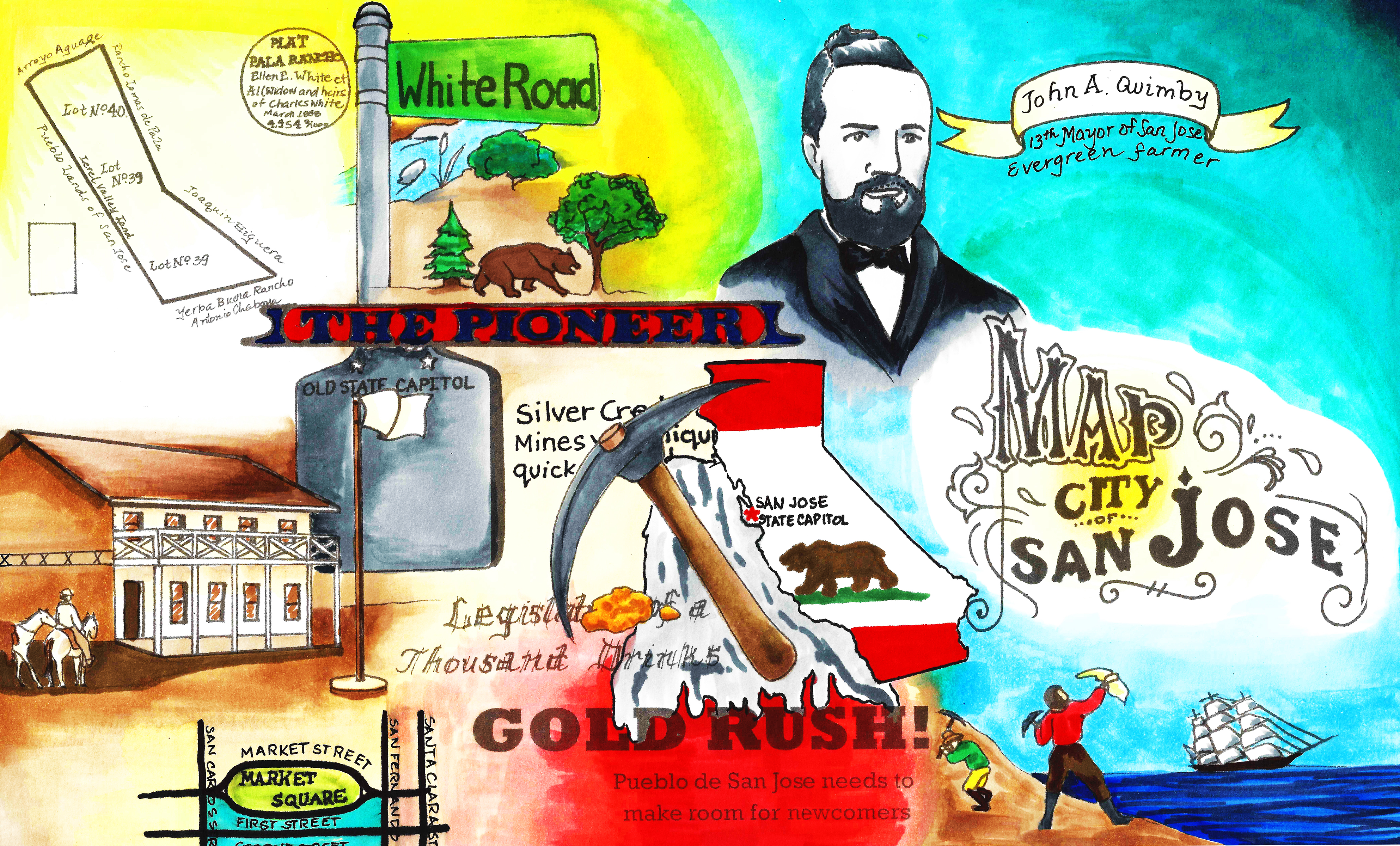
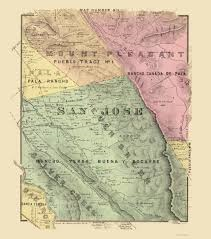
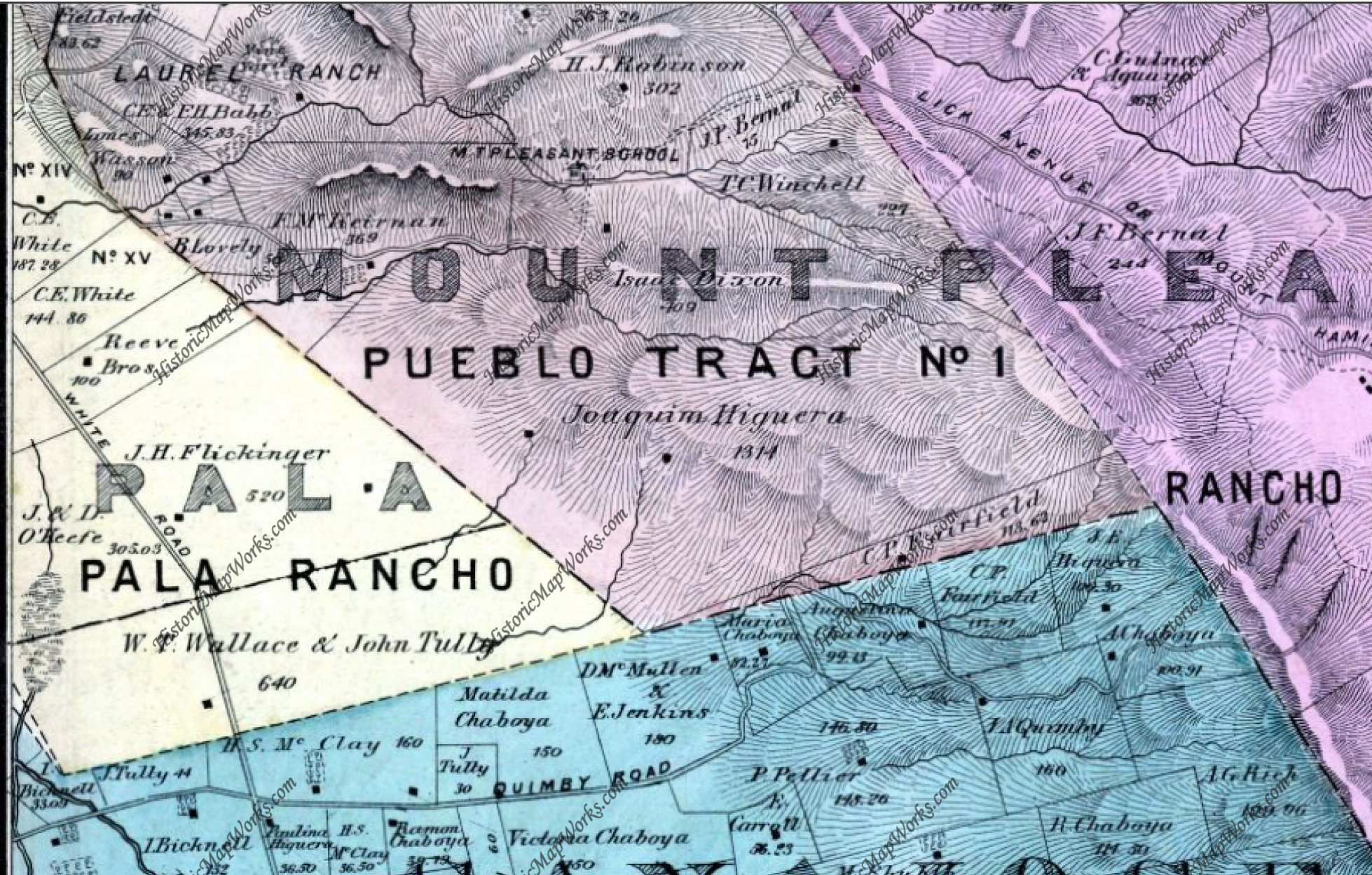
“On April 11, 1859 a very large meeting was held at the Evergreen School House to hear Mr. A. A. Green of San Francisco, discuss Spanish land grants in general, and the Chabolla Grant in particular… August 15th the San Jose Land Company gave notice that they would sell their rights to the lands known as the Five-Hundred-Acre tracts… The Commissioners of the Funded Debt of San Jose announced on the same day that they would sell titles to the same lands … The Mayor announced that he did not believe the Land Company owned any interest or title to sell.” (History of San Jose – F. Hall)
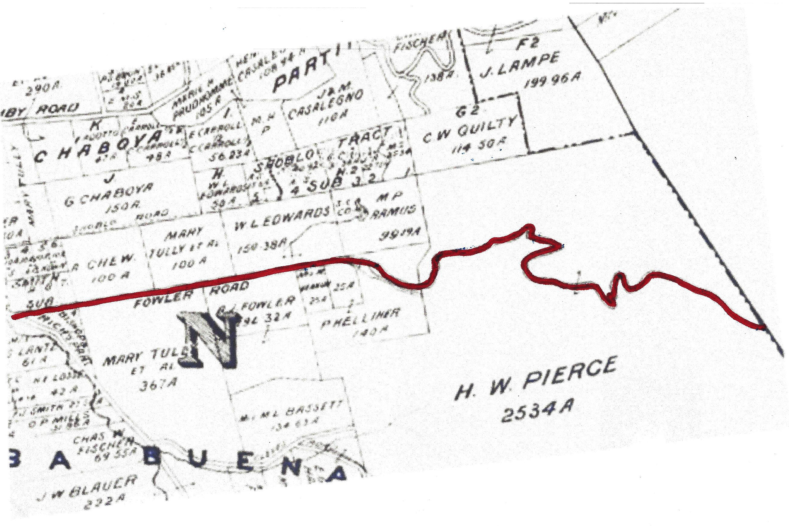
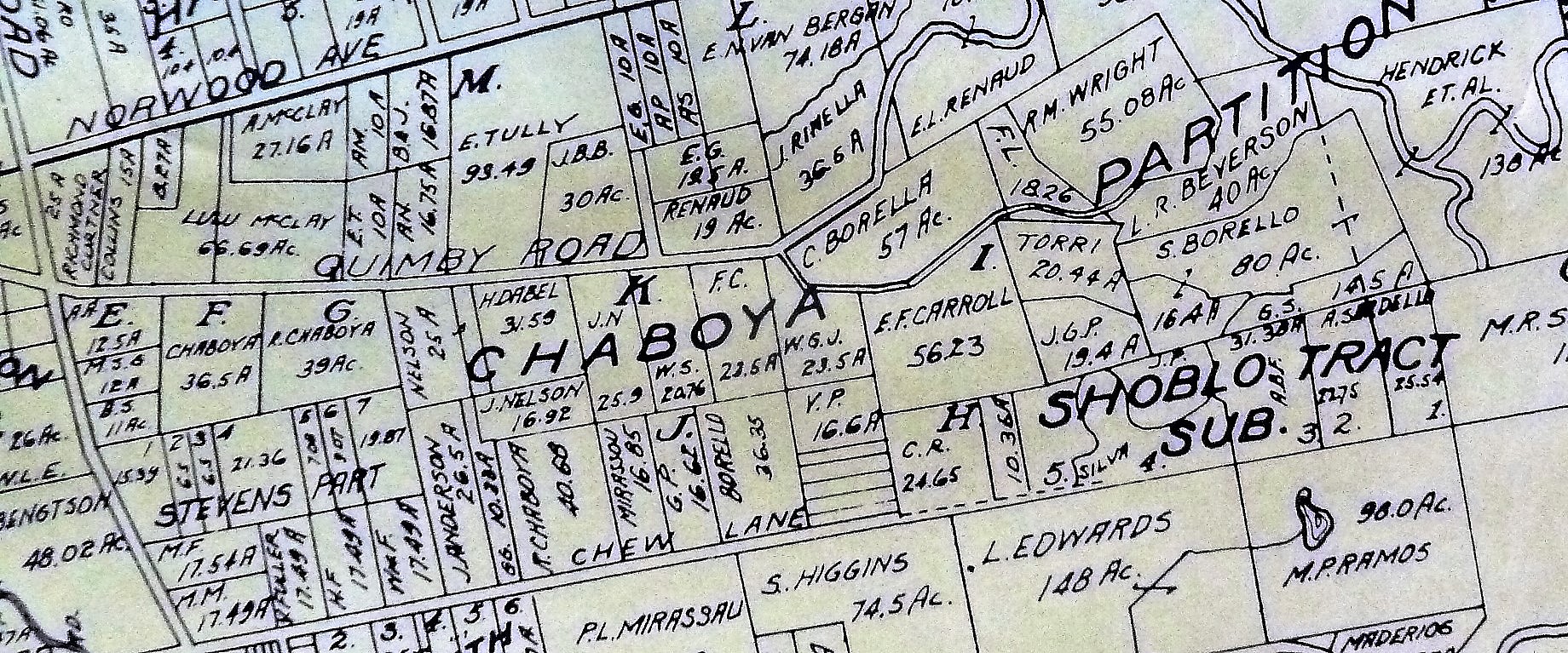
To explain the conflicting announcements, the City of San Jose claimed ownership of certain lands, because of the rights and lands passed down by the Pueblo de San Jose de Guadalupe, set aside for town and public use by the laws of Spain. The Land Company claimed some rights to these lands because of legal attachments they had made against them for debts owed them by the City of San Jose, specifically, for the balance and interest due on a building the members of the Land Company had had built, and sold to the City for the use of the first California Legislature meeting. Some of the Spanish land grants, such as the one made to Antonio Chabolla, Rancho of the Spanish land grants, such as the one made to Antonio Chabolla, Rancho Yerba Bueno Y. Socarye overlapped some of the lands claimed by the City as belonging to the original Areblo de San Jose.
Daniel took heed of these events and on November 28, 1859 obtained a Deed to 52 acres on which he lived from HIATT P. HEPBURN and HENRY WILKINS of San Francisco for $780, (Book O p. 503). These two men apparently had bought tracts of land from Antonio Chabolla on the speculation that the United States courts would eventually sustain the original Spanish land grants. The following December 12th Daniel obtained a Deed from the Commissioners of the Funded Debt for 54.9 acres the same body of land although slightly larger in dimension for $78.60, (Book N p. 2). It appears that Daniel felt quick action was necessary to protect the improvements he probably had made, so he was not in a position to quibble over 2.9 acres. No record has been found as to how Daniel acquired the property in the first place.
On January 2, 1860 Daniel added 89.77 acres to his original 52 acre piece, lying on the N, E., from A. B. CLADWELL and wife MARY A., paying $897, (Book M p. 702). A few days later, January 14th Daniel cleared title to a small area of 6.44 acres lying on the S.W. of the piece bought from Caldwell, (Book N p. 94).
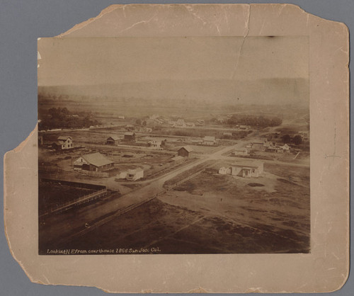
By April 1861 the United States courts settled the matter of ownership of the Spanish land grant made to Antonio Chabolla, and numerous writs of ejection for possession of land occupied by settlers became obligatory for the Sheriff to serve on the squatters. He collected a posse of about six hundred to carry out his duties, but dismissed the posse when they gathered because they were unarmed and, when asked, were not in favor of arming themselves.
That afternoon nearly a thousand settlers paraded the main street of San Jose, on horses and in wagons, armed to the teeth, One contingent even brought a small caannon. They returned to their homes and no violence occurred. Some of the people in the parade were financially unable to clear the titles to their lands. Others had purchased properties from earlier settlers who claimed valid titles which now became null and void. Many were voicing disapproval of an act they believed fraudulent, not realizing that the decision were final in the highest courts. Matters were peaceably settled within a reasonable time.
On May 10, 1861 another son, Leon G. was born to Daniel and Malinda. He survived only twenty days.
On November 15, 1862 Daniel sold all his land, 141.72 acres, and buildings lying in the east corner of King and Tully Roads, to THOMAS H. FARNSWORTH for $26.00, (Book E p. 536). Even at this date the Tully Road is referred to as, “the road which passes said McCray’s house.” The exact reason for Daniel’s sale is not known. Another puzzle is that he did not take title to any other piece of property for two years. Where the family lived in the interim is not known. It is possible that Thomas Farnsworth did not need the buildings on the property and the McCrays remained there as renters.
On February 22, 1863 Daniel and Malinda’s last child was born, Amelia, called Ella. On October 26, 1864 Daniel purchased 148 acres near Pioneer on the Almaden Road for $1,500, whose western boundary was the Guadalupe River and its northern boundary south of Downer Avenue (now Blossom Hill Road.) The purchase was made from TRAVIS and MARTHA F. PHILLIPS, (Book T p. 68). By this date Franklin was 15 and Victor 13 and they had become well acquainted with their schoolmates in Evergreen.
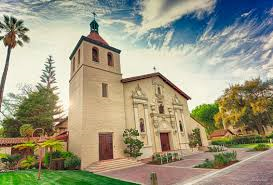
Two schoolmates were Mary, 14, and A1ice, 8, daughters of ORVAL and SARAH COTTLE whose home and ranch were one mile on Silver Creek Road, south of its junction with King and Evergreen (Aborn) Road. Mary and Alice, the future wives of Franklin and Victor, attended Evergreen School with a number of their sisters. They walked to school via Silver Creek and Evergreen Roads, which were only wagon tracks. They told in later years of their struggles through mud nearly knee deep in gum boots whose appearance embarrassed them. They carried their regular shoes so they could change.
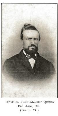
In October 1866 Daniel bought from JOHN G. METZGER 100 acres for $2,000 adjoining his holdings in Pioneer, (Book V p. 534). Apparently there was no adequate building for a grammar school because Daniel became one of three school trustees for their District who purchased a school lot for the City of San Jose on which a school house was soon built, known as the Pioneer School, (Book W p. 544, signed by Mayor J. A. QUIMBY and School trustees ANDREW REDMOND, FRANCIS L. EASTERDAY and DANIEL McCRAY.)
On June 26, 1873 Daniel and Malinda sold their 223.27 acres at Pioneer to WI LLIAM F. S. L. de A. GIESSENBERG for $11,150 (Book 30 p. 261). In the nine years the McCrays had acquired 248 acres for $3,500. Selling 223.27 acres for$11,150, they gain $7,650 with no allowance for improvements. Somehow, probably due to inaccuracies in the surveys they lost 24.73 acres in the transaction. This sale was no doubt for the profit involved, but also to allow the McCrays to move to Hollister and invest in the new lands just opened by the San Justo Homestead Association in the San Benito Valley, then contained in Monterey County. On August 18, 1873 they bought their first piece of land close to the center of town, and in the following three years they purchased four more plots, totaling 85.2 acres for an investment of $6, 275.
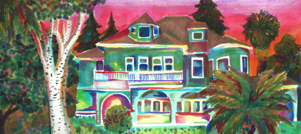
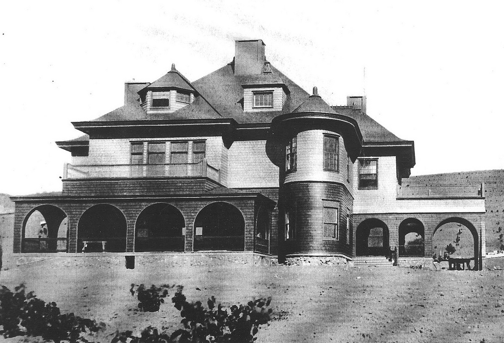
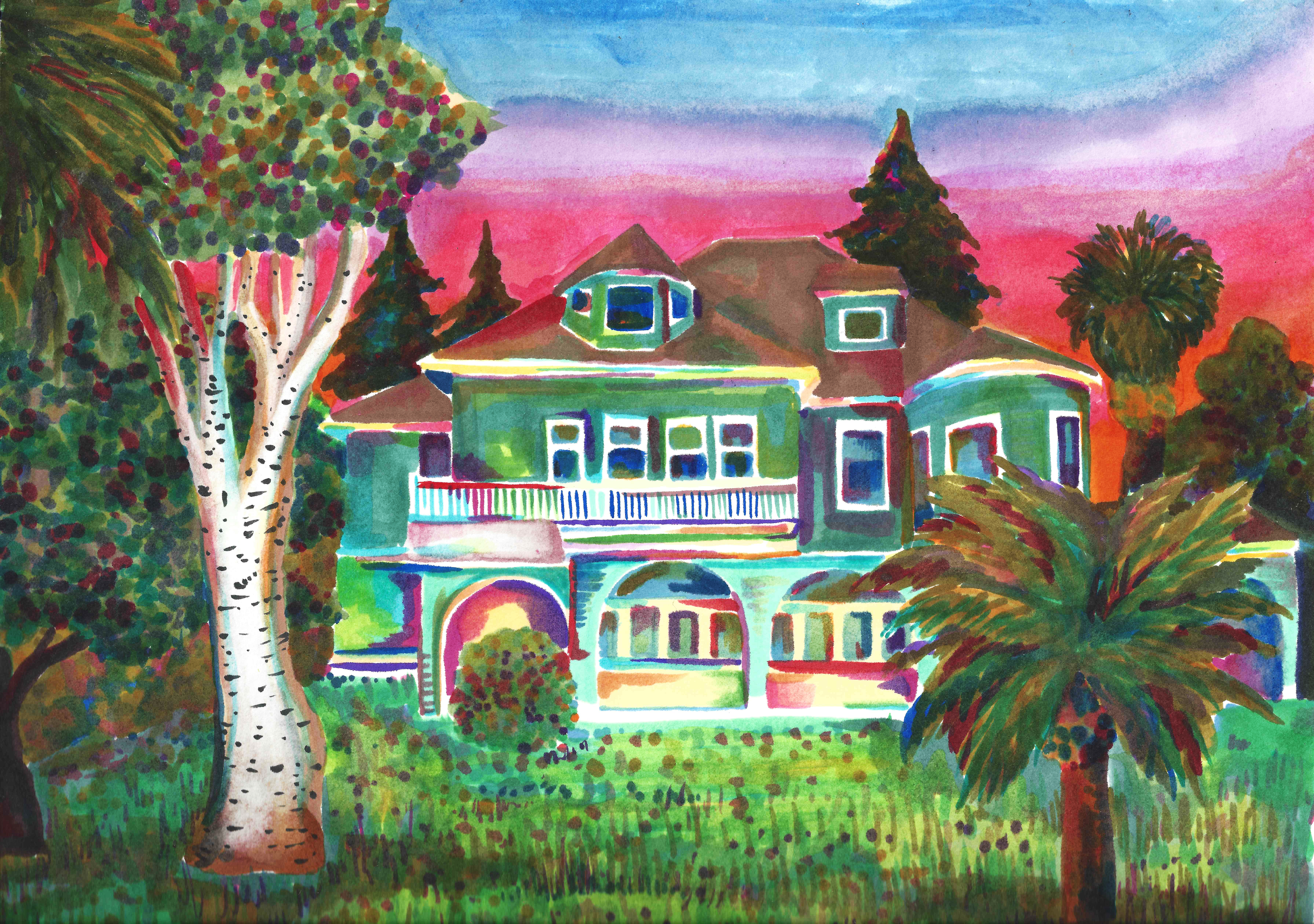
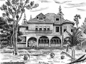
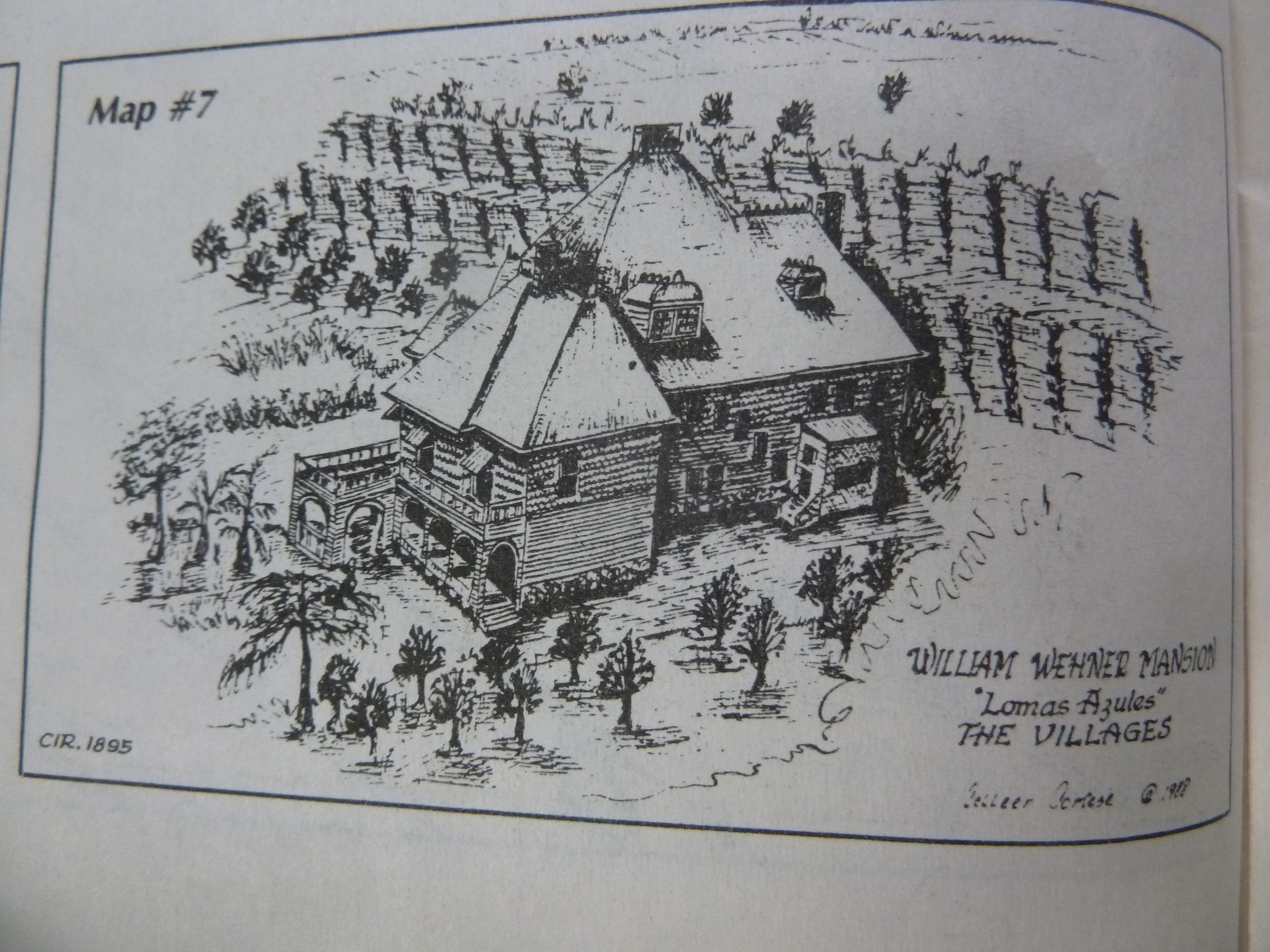
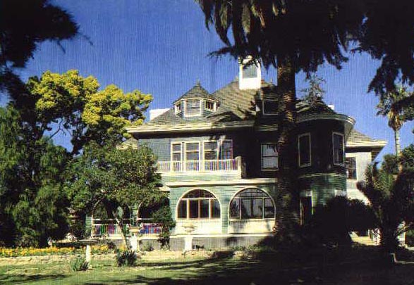
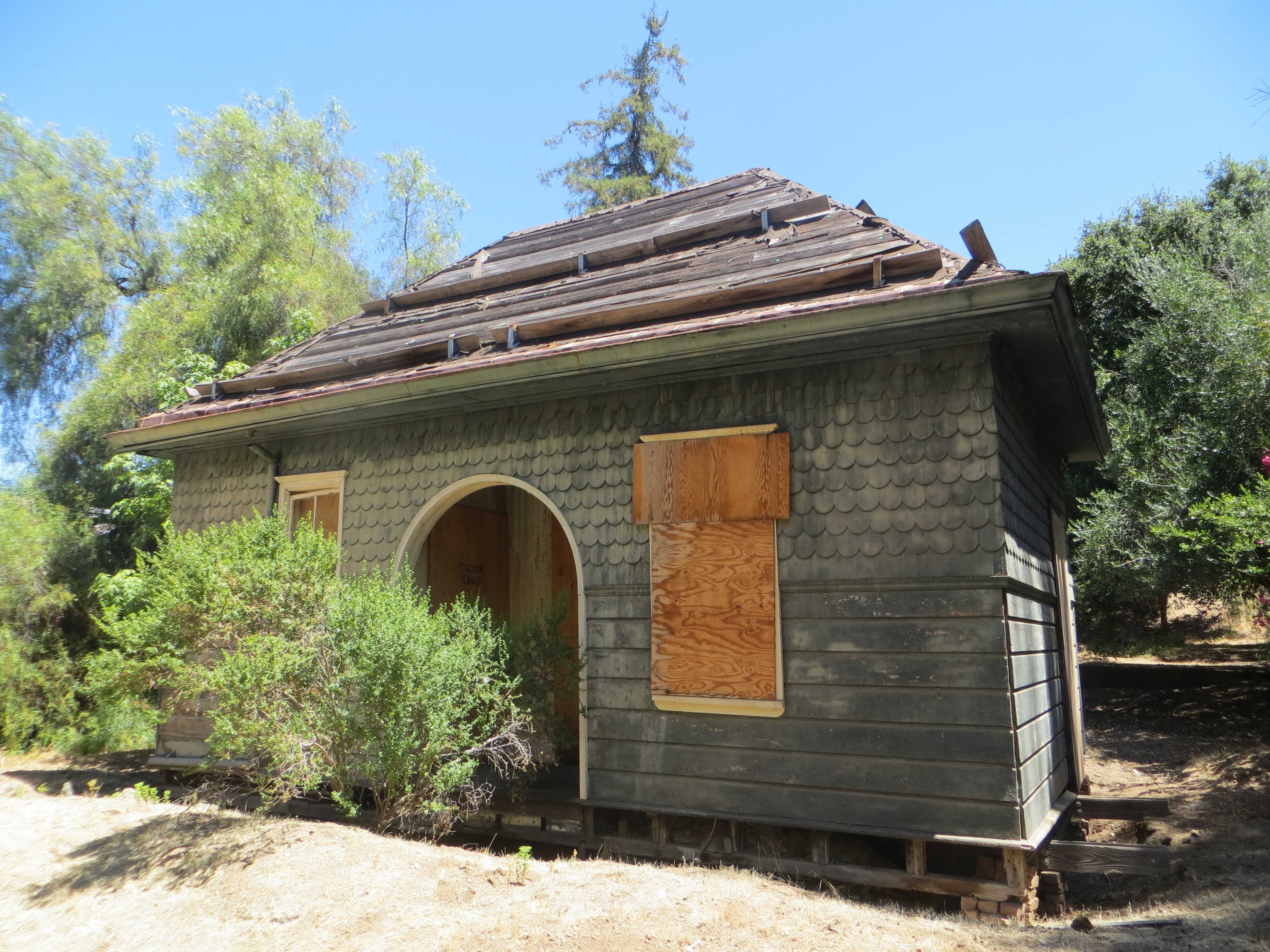
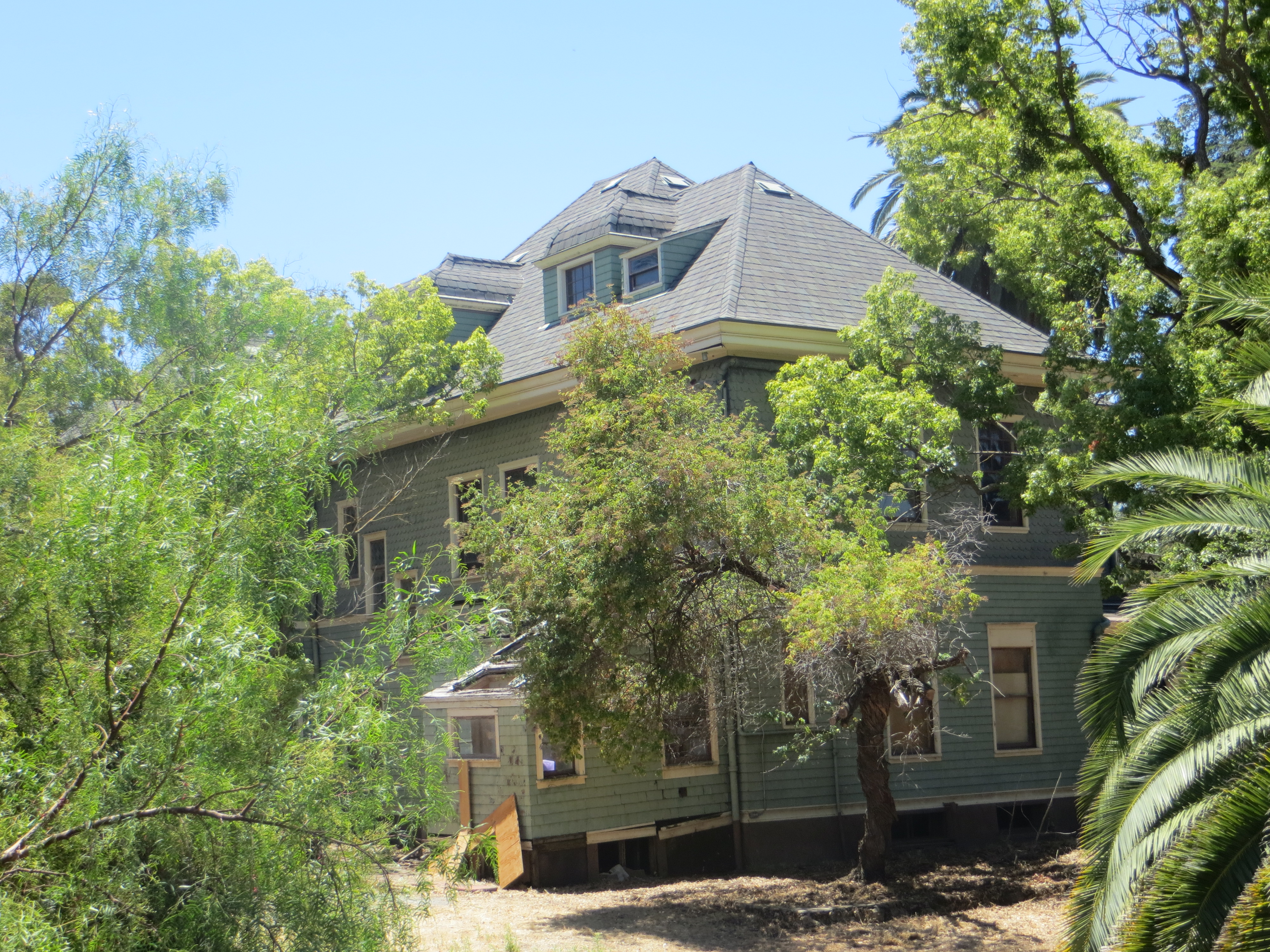
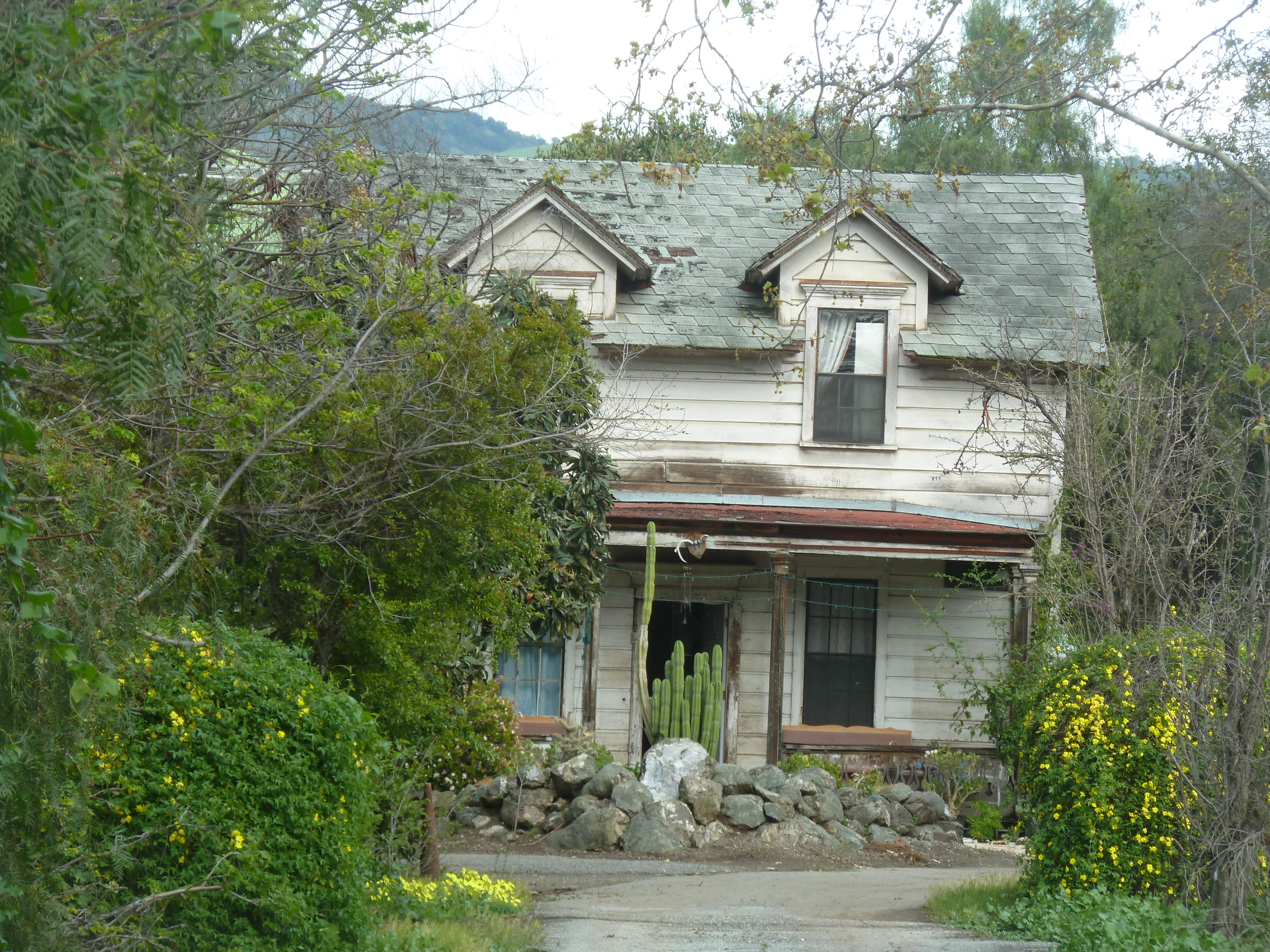
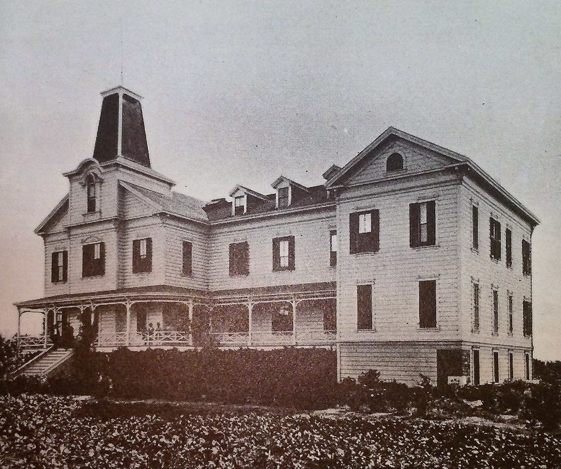
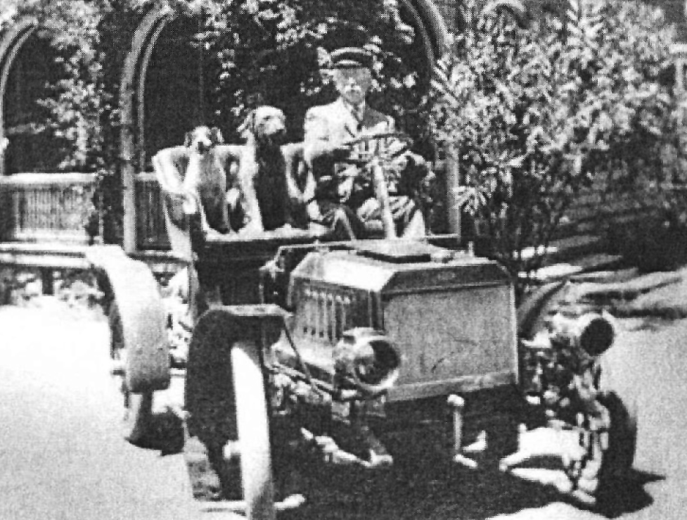 This guy once painted Civil War scenes on a panoramic scale in Chicago. Wonderful William Wehner, German born, American famed artist, moved to Evergreen in the 1880’s and built one of the most beautiful structures in Santa Clara County. The Blue Hills Estate, Wehner Mansion or Cribari Mansion, whichever you prefer, has been a longstanding gem of Queen Anne architecture hiding in Evergreen.
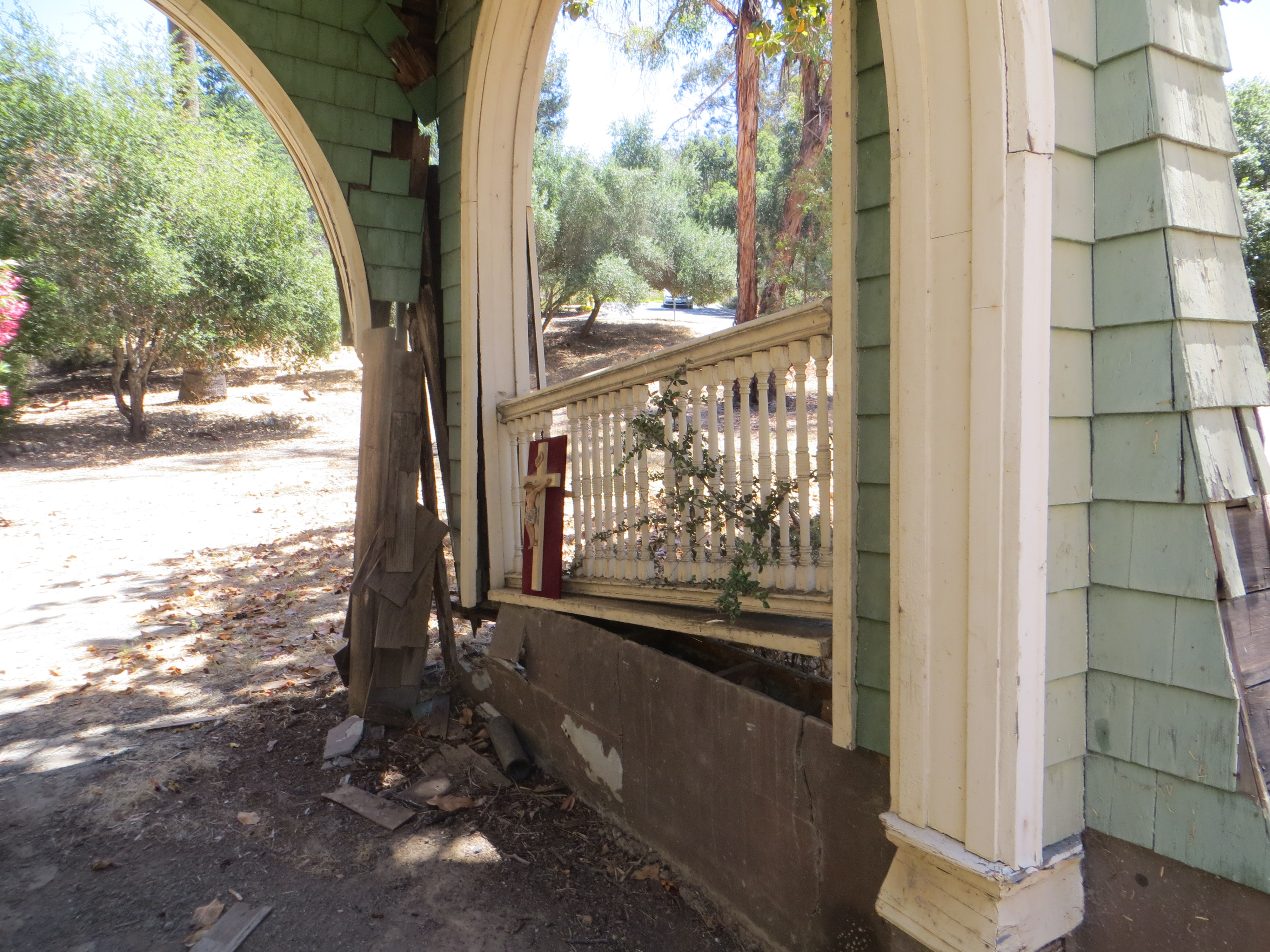
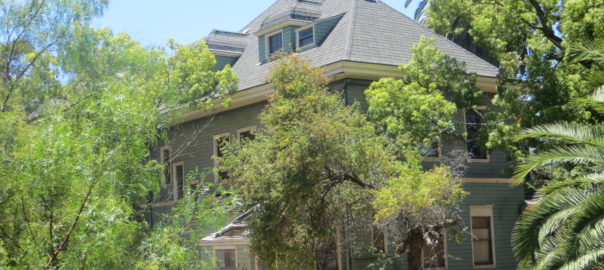
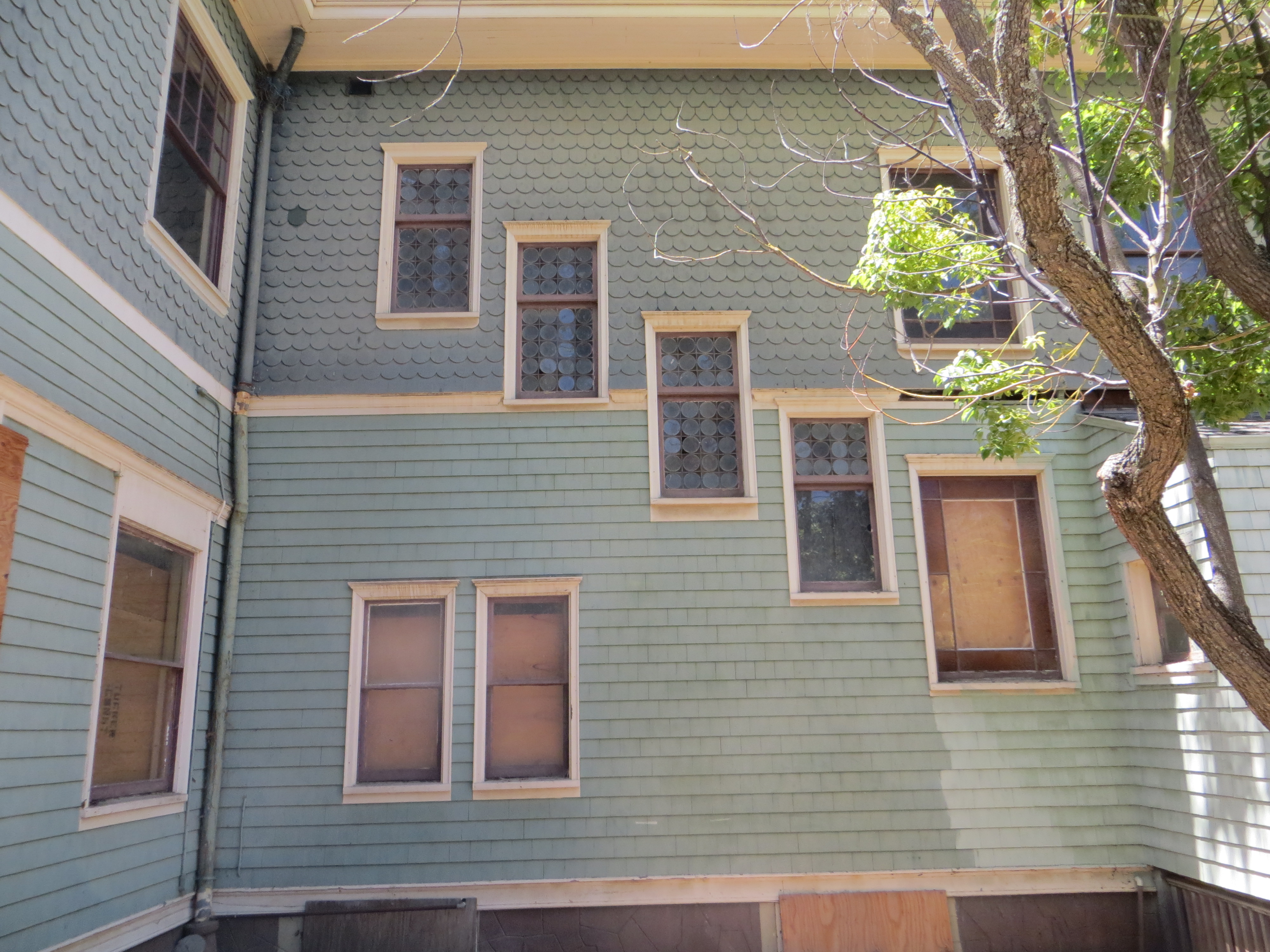
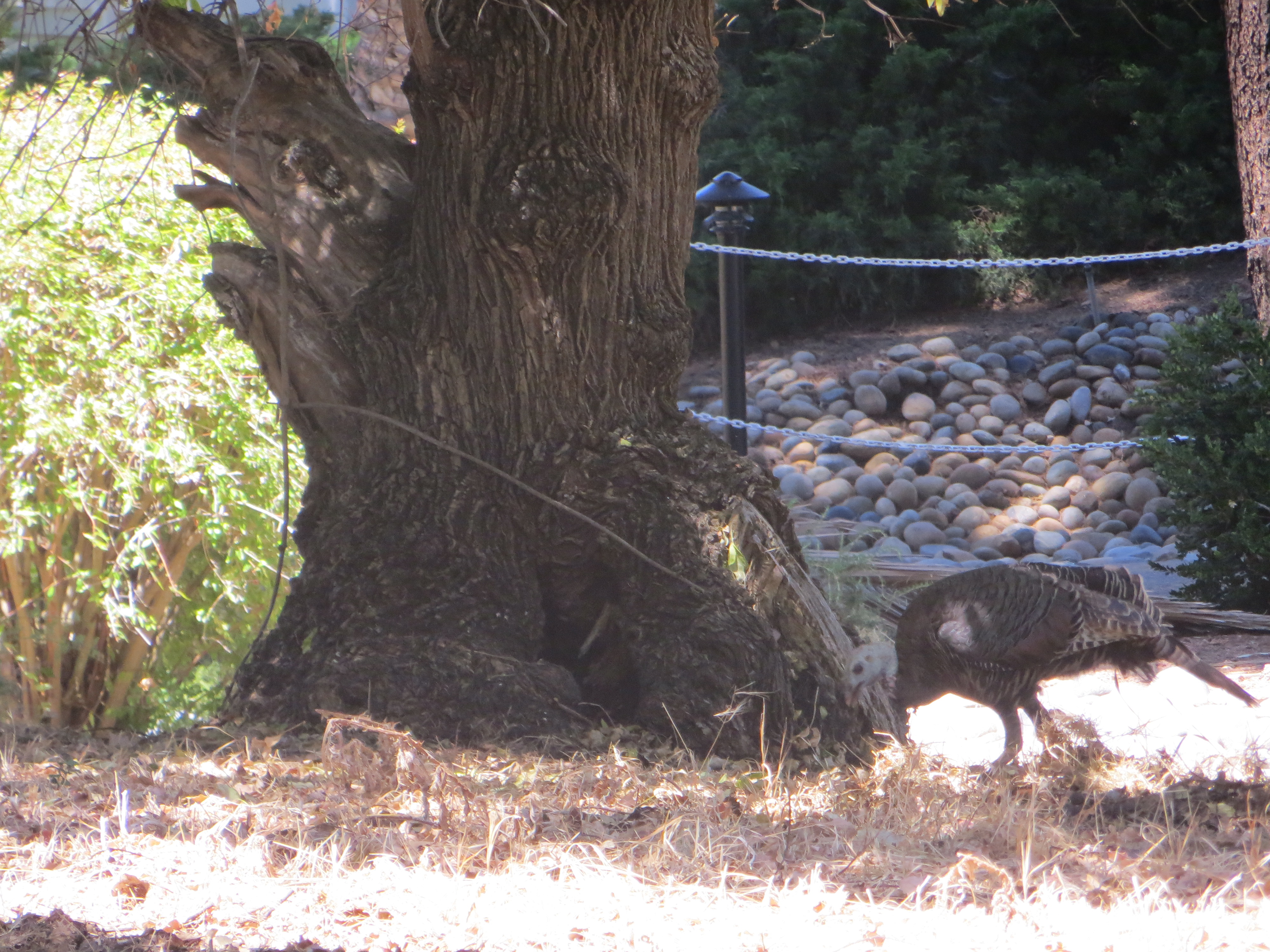
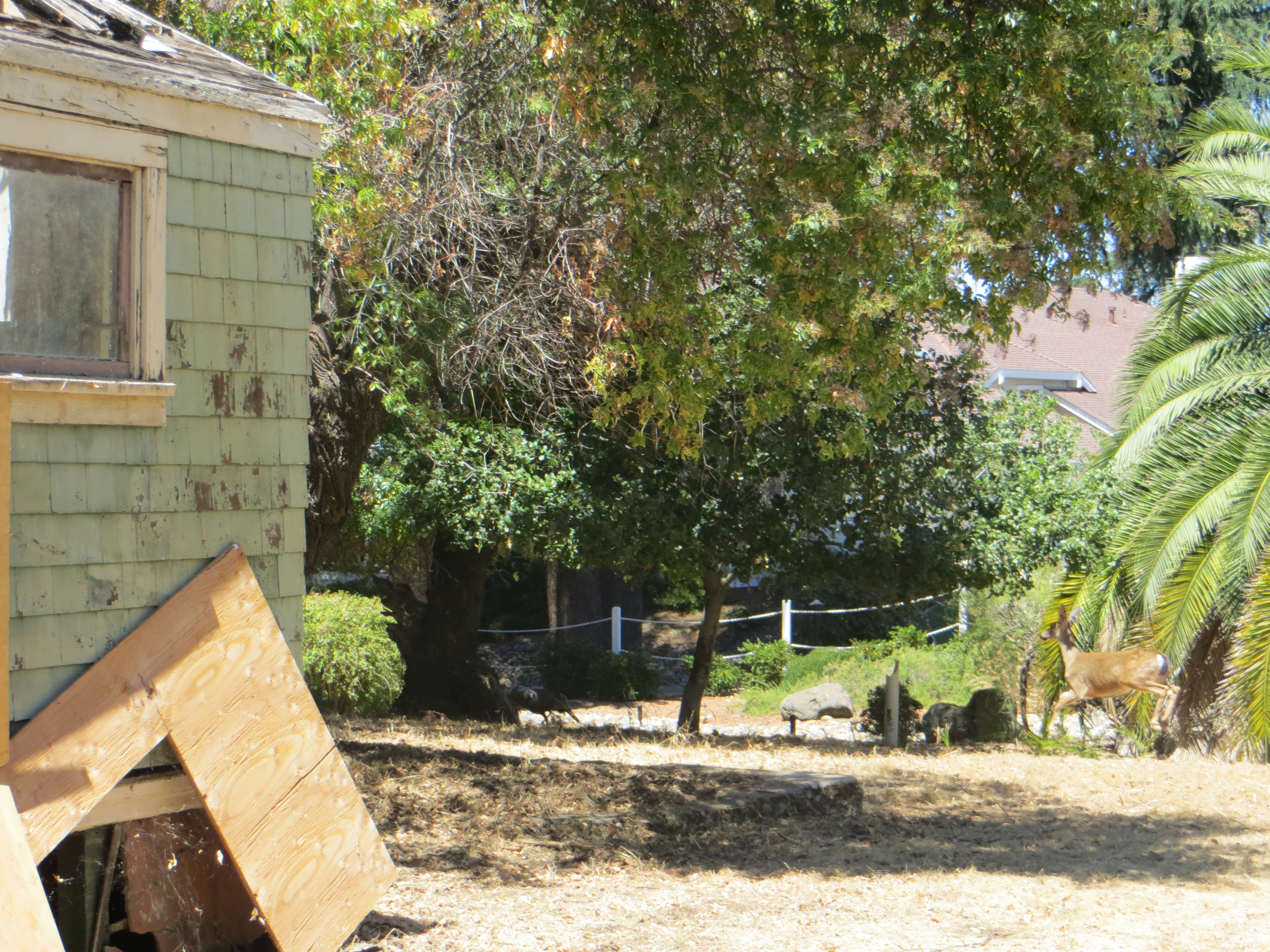
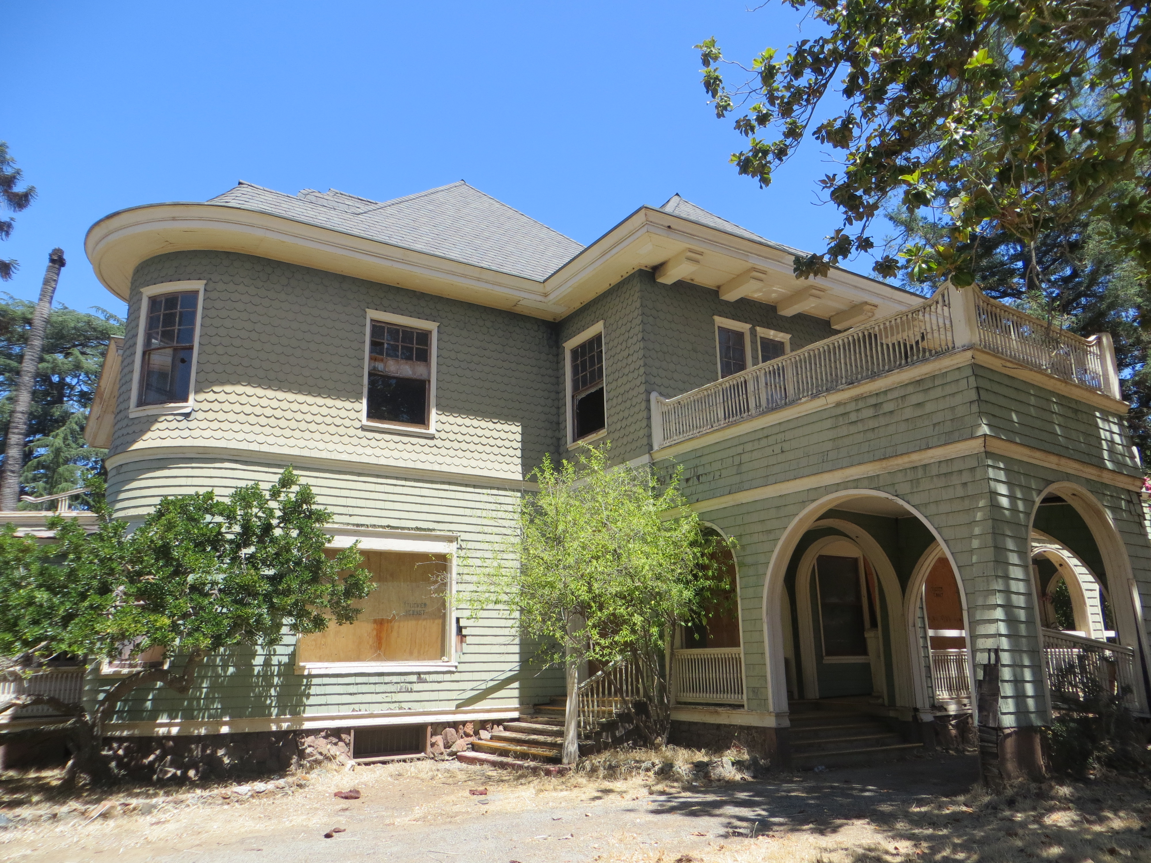 Behind locked gates, this historically designated but almost uninhabitable building has seen better days. There’s a questionable title and legal loopholes being used to keep the home out of the bank’s hands exclusively, rendering it unable to be sold, preserved or renovated. Wait a second, there is life here. I felt it all around me when I took these photographs. It’s just not human life. The Mansion is quickly being reclaimed by nature, and a territorial young buck. Read the above post for that story.